Click to visit the main New York Public Library Homepage
The New York Public Library
Digital Collections
About Digital Collections
Browse
Search only public domain materials
Items
Collections
Divisions
Home
Search
Browse
About
Search only public domain materials
Items
Collections
Divisions
Digital Collections
Using Images
Using Data
Collections
Charting America: Maps from the Lawrence H. Slaughter Collection and Others
Charting America: Maps from the Lawrence H. Slaughter Collection and Others
Navigation
Filters
Charting America: Maps from the Lawrence H. Slaughter Collection and Others
Previous
The south part of Virginia, now the north part of Carolina
0
Atlases, gazetteers, guidebooks and other books
377
Maps of the World
16
Maps of the Oceans
24
Maps of North and South America
23
Maps of North America.
551
Maps of New York City and State
1340
Lawrence H. Slaughter Collection of English maps, charts, globes, books and atlases
1020
John H. Levine Collection
60
More
Show filters
Hide filters
Show Only Public Domain
topic
Geography
514
Atlases
185
Atlases, British
144
History
141
Maps in education
104
More
Less
name
Thornton, Samuel
182
Ortelius, Abraham, 1527-1598
127
Coignet, Michel, 1549-1623
126
Shawe, James
126
Montanus, Arnoldus, 1625?-1683
117
More
Less
collection
Lawrence H. Slaughter Collection of English maps, charts, globes, books and atlases
1252
Atlases, gazetteers, guidebooks and other books
543
Maps of New York City and State
1
place
Great Britain
257
America
179
United States
146
West Indies, British
116
North America
114
More
Less
genre
Maps
1678
Nautical charts
175
Registers (Lists)
26
preliminaries
24
Title pages
17
More
Less
publisher
Printed for Ieames Shawe, and are to be solde at his shoppe nigh Ludgate,
126
Printed by the author, and are to be had at his house
116
Chapman and Hall
115
S. A. Mitchell, jr
79
Printed for Robert Sayer, No. 53, Fleet-Street
76
More
Less
division
Map Division
1792
type
cartographic
1560
text
163
still image
134
Date Range
to
1,796 results found for:
Atlases?tab=filter
Sort by:
Relevance
Title
Date created
Date digitized
Sequence
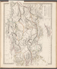
America.
note:
In upper right corner:
Tab
. 46.
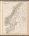
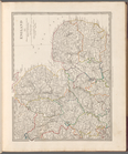
Sweden, Norway and Denmark
topic:
Atlases
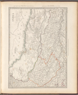
Asia Minor
topic:
Atlases
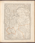
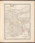
Russia, Part IV
topic:
Atlases
Russia, Part III
topic:
Atlases
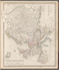
Asia
topic:
Atlases
Syria
topic:
Atlases
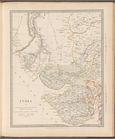
India VII
topic:
Atlases
India V
topic:
Atlases
India X
topic:
Atlases
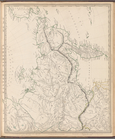
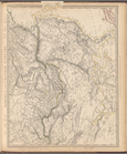
Eastern Siberia
topic:
Atlases
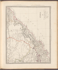
India: Bengal Presidency
topic:
Atlases
Siberia and Chinese Tartary
topic:
Atlases
India I and Ceylon
topic:
Atlases
India IV
topic:
Atlases
India VI
topic:
Atlases
Islands in the Indian Ocean
topic:
Atlases
India IX
topic:
Atlases
India XI
topic:
Atlases
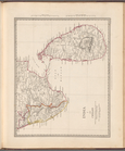
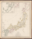
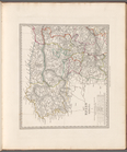
Empire of Japan
topic:
Atlases
m
Maps of the Society for the D…
topic:
Atlases
m
Maps of the Society for the D…
topic:
Atlases
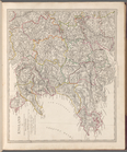
Europe
topic:
Atlases
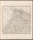
England I
topic:
Atlases
England IV
topic:
Atlases
Maps of the Society for the D…
topic:
Atlases
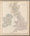
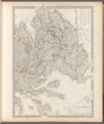
The British Isles
topic:
Atlases
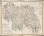
England II
topic:
Atlases
England III
topic:
Atlases
England V
topic:
Atlases
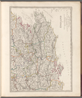
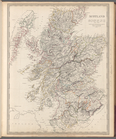
Scotland
topic:
Atlases
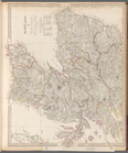
Scotland II
topic:
Atlases
Scotland I
topic:
Atlases
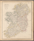
Ireland
topic:
Atlases
France I
topic:
Atlases
France II
topic:
Atlases
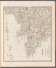
Ireland
topic:
Atlases
Switzerland
topic:
Atlases
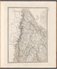
Germany: General map
topic:
Atlases
Italy I
topic:
Atlases
Italy III
topic:
Atlases
Spain (Espana) I
topic:
Atlases
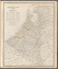
The Netherlands and Belgium
topic:
Atlases
France III
topic:
Atlases
Italy II
topic:
Atlases
Spain (Espana) II
topic:
Atlases
Spain (Espana) III
topic:
Atlases
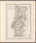
Portugal
topic:
Atlases
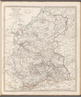
Poland (Polska): divided into…
topic:
Atlases
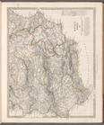
Russia in Europe, Part II
topic:
Atlases
1
2
3
4
5
6
7
8
Previous
Next
1
2
3
4
5
6
7
8
Previous
Next