Click to visit the main New York Public Library Homepage
The New York Public Library
Digital Collections
About Digital Collections
Browse
Search only public domain materials
Items
Collections
Divisions
Home
Search
Browse
About
Search only public domain materials
Items
Collections
Divisions
Digital Collections
Using Images
Using Data
Collections
Charting America: Maps from the Lawrence H. Slaughter Collection and Others
Charting America: Maps from the Lawrence H. Slaughter Collection and Others
Navigation
Filters
Charting America: Maps from the Lawrence H. Slaughter Collection and Others
Previous
The south part of Virginia, now the north part of Carolina
0
Atlases, gazetteers, guidebooks and other books
377
Maps of the World
16
Maps of the Oceans
24
Maps of North and South America
23
Maps of North America.
551
Maps of New York City and State
1340
Lawrence H. Slaughter Collection of English maps, charts, globes, books and atlases
1020
John H. Levine Collection
60
More
Show filters
Hide filters
Show Only Public Domain
topic
Railroads
21
Administrative and political divisions
11
Colonies
11
Canals
6
Geography
4
More
Less
name
Moll, Herman, -1732
7
Lotter, Matthäus Albrecht, 1741-1810
6
Lotter, Tobias Conrad, 1717-1777
6
Bowles, John, 1701-1779
5
Weed, Parsons & Co
5
More
Less
collection
Lawrence H. Slaughter Collection of English maps, charts, globes, books and atlases
35
Maps of New York City and State
33
John H. Levine Collection
9
Atlases, gazetteers, guidebooks and other books
7
place
North America
30
New York (State)
29
Canada
16
America
13
United States
13
More
Less
genre
Maps
84
Cadastral maps
1
Early works to 1800
1
Facsimiles
1
Geological maps
1
More
Less
publisher
Tobias Conrad Lotter?
5
publisher not identified
5
Lith. by Weed, Parsons & Co
3
P. Goos
3
Printed for Timothy Childe at the White Hart at the West-end of St. Paul's Church-yard
3
More
Less
division
Map Division
84
type
cartographic
83
still image
1
text
1
Date Range
to
84 results found for:
Canada?tab=filter
Sort by:
Relevance
Title
Date created
Date digitized
Sequence
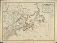
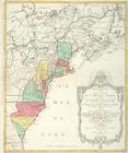
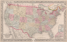
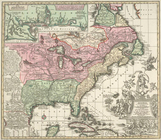
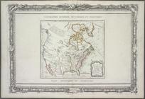
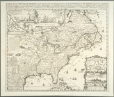
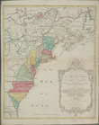
The United States of North Am…
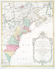
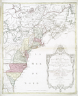
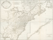
Nova tabula geographica compl…
m
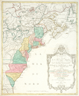
Nova tabula geographica compl…
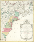
… comprehending eastern
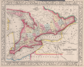
Canada
… septentrionale voir le
Canada
, la
… septentrionale voir le
Canada
, la
Carte du
Canada
ou de la Nouvelle France
…. Together with
Canada
&c
Map of
Canada
West in counties.
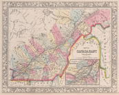
Map of
Canada
East in counties; Environs
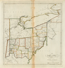
The State of Ohio, with part of Upper
Canada
… Louisiane ot.
Canadae
et
m
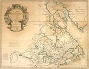
A new and exact map of the do…
note:
… beavers of
Canada
Pascaerte van Vlaemsche, Sout…
Paskaert zijde de Noordelicks…
Pascaerte van Groen-landt,Ysl…
Map of Morris's Purchase or W…
collection:
…
Canada
Map of the vicinity of Niagar…
note:
… from the
Canada
side
The second section of the sur…
note:
… and the Dominion of
Canada
].
m
Niagara 1819
note:
… and the Dominion of
Canada
].
Carte pour servir à l'itinéra…
abstract:
… of
Canada
. Prime meridians
Asher & Adams' new map of the…
collection:
… to the
Canada
line
A topographical map of Hudson…
[Map of the Hudson River] pre…
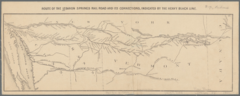
Route of the Lebanon Springs …
note:
… to Montreal,
Canada
, as well
Asher & Adams' new map of the…
Map showing route of the New …
Map of the New York West Shor…
note:
… Ontario,
Canada
.
Map of the New York West Shor…
note:
… Ontario,
Canada
.
Map of the Fitchburg, Cheshir…
note:
…,
Canada
.
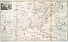
Nouveau Mexique, Louisiane,
Canada
, et les
… cõmunication avec le
Canada
par
collection:
… avec le
Canada
par le
…, Mississipi,
Canada
and New
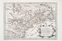
Le
Canada
, ou Nouvelle France, &c.
… comprehending eastern
Canada
A new map of ye north parts o…
United States of America
note:
… of
Canada
and Mexico.
Partie orientale du
Canada
ou de la Nouvelle
note:
Kershaw, K.A. Early printed maps of
Canada
Le
Canada
, ou Nouvelle France, la Floride
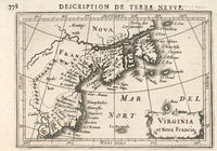
Virginia et Nova Francia
Theatre de la guerre en Améri…
note:
Later ed. of the author's
Canada
et
Canada
et Louisiane
note:
On verso of the map, written in ink:
Canada
Carte de la Nouvelle France: …
… septentrionale voir le
Canada
, la
… septentrionale voir le
Canada
, la
… septentrionale voir le
Canada
, la
… septentrionale savoir le
Canada
Canada
, Louisiane et terres angloises
Carte du
Canada
et de la Louisiane qui
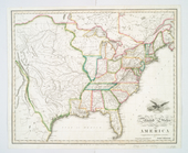
United States of America.
note:
… to Early
Canada
and Mexico.