Click to visit the main New York Public Library Homepage
The New York Public Library
Digital Collections
About Digital Collections
Browse
Search only public domain materials
Items
Collections
Divisions
Home
Search
Browse
About
Search only public domain materials
Items
Collections
Divisions
Digital Collections
Using Images
Using Data
Collections
Charting America: Maps from the Lawrence H. Slaughter Collection and Others
Charting America: Maps from the Lawrence H. Slaughter Collection and Others
Navigation
Filters
Charting America: Maps from the Lawrence H. Slaughter Collection and Others
Previous
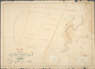
The south part of Virginia, now the north part of Carolina
0
Atlases, gazetteers, guidebooks and other books
377
Maps of the World
16
Maps of the Oceans
24
Maps of North and South America
23
Maps of North America.
551
Maps of New York City and State
1340
Lawrence H. Slaughter Collection of English maps, charts, globes, books and atlases
1020
John H. Levine Collection
60
More
Show filters
Hide filters
Show Only Public Domain
topic
Geography
262
Nautical charts
82
Administrative and political divisions
58
Mathematics
57
Astronomy, 1681
55
More
Less
name
Ortelius, Abraham, 1527-1598
130
Coignet, Michel, 1549-1623
126
Shawe, James
126
Moll, Herman, -1732
95
Flamsteed, John, 1646-1719
55
More
Less
collection
Lawrence H. Slaughter Collection of English maps, charts, globes, books and atlases
749
Maps of New York City and State
263
John H. Levine Collection
47
Maps of the Oceans
17
Maps of North and South America
15
More
Less
place
New York (N.Y.)
161
New York (State)
144
United States
139
Maps
105
North America
96
More
Less
genre
Maps
1097
Early maps
11
Facsimiles
11
Title pages
7
Early works to 1800
6
More
Less
publisher
Printed for Ieames Shawe, and are to be solde at his shoppe nigh Ludgate,
126
Printed by A. Godbid and J. Playford, for R. Scott, bookseller
55
Printed for Timothy Childe at the White Hart at the West-end of St. Paul's Church-yard
47
s.n
36
... Sold ... by Tho. Bowles, print and map-seller in St. Paul's-Churchyard
32
More
Less
division
Map Division
1109
type
cartographic
1079
text
31
still image
18
Date Range
to
1,111 results found for:
Early maps?tab=filter
Sort by:
Relevance
Title
Date created
Date digitized
Sequence
Vingboons
map
of Manhattan, 1639
note:
Pictorial
map
showing buildings
A plott of ye situations of t…
note:
Facsimile of manuscript
map
.
Plan of West Point
note:
History of
map
in upper right conner
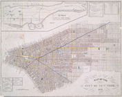
Map
of New York, New England
note:
Photocopy of a manuscript
map
, hand colored.
A chart of the coast of Ameri…
note:
… to
Early
Maps
of the Middle
Map
of the head waters of the rivers
note:
Reduced version of the
map
lithographed
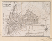
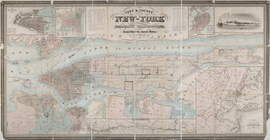
The Great metropolis in 1804.
note:
… to
Early
Maps
of the Middle
m
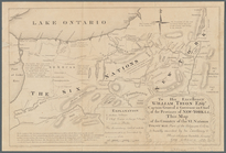
To his excellency William Try…
note:
…"Copied from the original manuscript
map
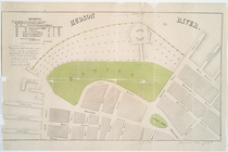
Green-wood cemetery
note:
… to
Early
Maps
of the Middle
Map
of valuable property situated
note:
… to
Early
Maps
of the Middle
Map
of 465 valuable building lots
note:
… to
Early
Maps
of the Middle
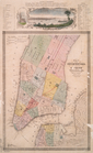
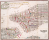
Map
of the City of New-York with part
note:
… to
Early
Maps
of the Middle
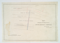
Map
showing land required for Croton
note:
… to
Early
Maps
of the Middle
Map
of the village of Hermannville, Town of Islip
note:
… to
Early
Maps
of the Middle
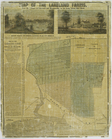
Map
of the Lakeland farms, near the villages
note:
… to
Early
Maps
of the Middle
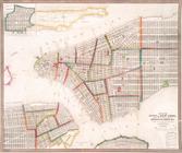
City of New York.
note:
… to
Early
Maps
of the Middle
Rome in 1802.
note:
… to
Early
Maps
of the Middle
Utica in 1802.
note:
… to
Early
Maps
of the Middle
Little Falls in 1802.
note:
… to
Early
Maps
of the Middle
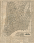
New
map
of the city of New York.
note:
… to
Early
Maps
of the Middle
Map
of the country thirty three miles around
note:
… to
Early
Maps
of the Middle
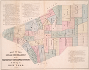
Map
of the local boundaries of the Protestant
note:
… to
Early
Maps
of the Middle
Map
of the City of New-York with part
note:
… to
Early
Maps
of the Middle
Map
of the city of New York.
note:
… to
Early
Maps
of the Middle
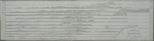
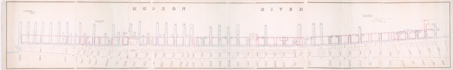
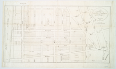
Profile of the twelve avenues…
note:
… to
Early
Maps
of the Middle
Map
of the city of New York, 1850
note:
… to
Early
Maps
of the Middle
Map
of wharves and piers on North River
note:
… to
Early
Maps
of the Middle
Map
of the city of New York
note:
… to
Early
Maps
of the Middle
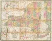
Map
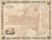
of the state of New York : showing
note:
… to
Early
Maps
of the Middle
Map
of the state of New York : compiled
note:
… to
Early
Maps
of the Middle
Map
of the state of New York
note:
… to
Early
Maps
of the Middle
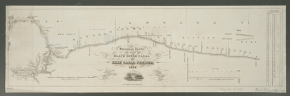
Statistical profile of the Bl…
note:
… to
Early
Maps
of the Middle
m
Map
of Dutchess County, New-York from
note:
… to
Early
Maps
of the Middle
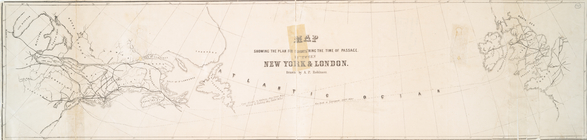
Chart shewing the tracks acro…
note:
… to
Early
Maps
of the Middle
Map
showing the plan for shortening
note:
… to
Early
Maps
of the Middle
Map
of the state of New York : compiled
note:
… to
Early
Maps
of the Middle
Map
of the city of New York : prepared
note:
… to
Early
Maps
of the Middle
Map
of the country thirty three miles around
note:
… to
Early
Maps
of the Middle
Map
and plan to illustrate the battle of Long
note:
… to
Early
Maps
of the Middle
City & county
map
of New-York, Brooklyn
note:
… to
Early
Maps
of the Middle
m
Sidney's
map
of twelve miles around New
note:
… to
Early
Maps
of the Middle
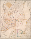
Map
of the city of New York
note:
… to
Early
Maps
of the Middle
Map
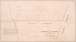
of property in the 2nd ward of the city
note:
… to
Early
Maps
of the Middle
Map
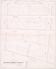
of the proposed widening of Rector & Morris
note:
… to
Early
Maps
of the Middle
Map
of property on Brooklyn Heights, or
note:
… to
Early
Maps
of the Middle
m
Map
of the city of Brooklyn, as laid out
note:
… to
Early
Maps
of the Middle
Proposed enlargement of the p…
note:
… to
Early
Maps
of the Middle
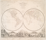
The world in hemispheres : wi…
note:
… to
Early
Maps
of the Middle
Map
of part of the Jackson Homestead
note:
… to
Early
Maps
of the Middle
Map
of Garret Nostrand's farm at Flushing
note:
… to
Early
Maps
of the Middle
1
2
3
4
5
Previous
Next
1
2
3
4
5
Previous
Next