Click to visit the main New York Public Library Homepage
The New York Public Library
Digital Collections
About Digital Collections
Browse
Search only public domain materials
Items
Collections
Divisions
Home
Search
Browse
About
Search only public domain materials
Items
Collections
Divisions
Digital Collections
Using Images
Using Data
Collections
Charting America: Maps from the Lawrence H. Slaughter Collection and Others
Charting America: Maps from the Lawrence H. Slaughter Collection and Others
Navigation
Filters
Charting America: Maps from the Lawrence H. Slaughter Collection and Others
Previous
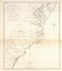
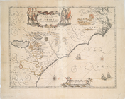
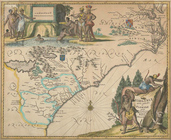
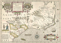
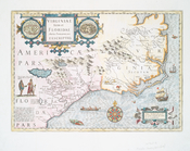
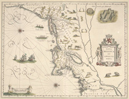
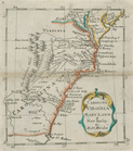
The south part of Virginia, now the north part of Carolina
0
Atlases, gazetteers, guidebooks and other books
377
Maps of the World
16
Maps of the Oceans
24
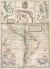
Maps of North and South America
23
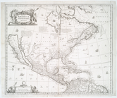
Maps of North America.
551
Maps of New York City and State
1340
Lawrence H. Slaughter Collection of English maps, charts, globes, books and atlases
1020
John H. Levine Collection
60
More
Show filters
Hide filters
Show Only Public Domain
topic
Administrative and political divisions
6
Atlases, British
3
Coasts
3
Geography
3
Nautical charts
2
More
Less
name
Hooker, William
6
Bowles, Thomas, 1694-1773
5
Moll, Herman, -1732
5
Blaeu, Willem Janszoon, 1571-1638
4
Phelps, Humphrey (19th cent.)
4
More
Less
collection
Lawrence H. Slaughter Collection of English maps, charts, globes, books and atlases
31
Maps of New York City and State
22
John H. Levine Collection
5
Maps of North and South America
3
place
New York (N.Y.)
14
Manhattan (New York, N.Y.) -- Maps
12
North Carolina
11
New York (N.Y.) -- Maps
10
Maps
9
More
Less
genre
Maps
60
Prints
1
publisher
... Sold ... by Tho. Bowles, print and map-seller in St. Paul's-Churchyard
5
W. Hooker
4
Printed for J. Stockdale
3
s.n
3
s.n.,
3
More
Less
division
Map Division
61
type
cartographic
61
text
6
Date Range
to
61 results found for:
South Atlantic States?tab=filter
Sort by:
Relevance
Title
Date created
Date digitized
Sequence
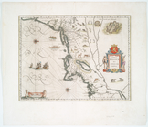
Virginiae partis australis, e…
note:
Covers
Atlantic
Coast from Virginia
Carte réduite du Sud des État…
note:
…
Atlantic
Seaboard.
A chart of the Atlantick Ocea…
note:
… Labrador to
South
Carolina.
…,
South
Carolina
note:
…
Atlantic
Seaboard.
…, and
South
Carolina
note:
…
Atlantic
Seaboard.
Carolina newly discribed
note:
…, and as far
south
as coastal
Carolina newly discribed
note:
…
Atlantic
Seaboard.
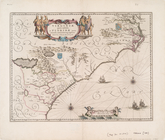
Virginiae partis australis et…
note:
…
Atlantic
Seaboard.
Virginiae partis australis, e…
note:
Covers
Atlantic
Coast from Virginia
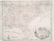
New map of the
states
of Georgia
South
note:
…
States
of America.
Carte de la Louisiane, Maryla…
note:
…
Atlantic
Seaboard.
Carte de la Louisiane, Maryla…
note:
…
Atlantic
Seaboard.
Virginiae partis australis, e…
note:
Covers the
Atlantic
coast from the mouth
A chart of the sea coasts of …
note:
…
Atlantic
Seaboard.
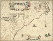
Nova Belgica et Anglia Nova.
note:
…
south
to the mouth
New-York.
note:
…
south
of 17th St. on the west and
south
of 31st
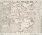
Novae insvlae XXVI nova tabvla
note:
Covers North and
South
America
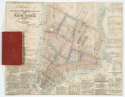
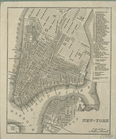
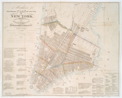
Plan von New-York, 1844.
note:
…
south
of 24th St. on the west and
south
of 37th
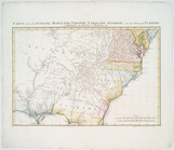
Partie de l'Amérique septentr…
note:
… to
South
Carolina and from the
Atlantic
coast
Partie de l'Amérique septentr…
note:
…
south
along
Virginiae item et Floridae Am…
note:
…
Atlantic
Seaboard.
A chart of the sea coasts of …
note:
… and
south
to Cape Hatteras.
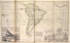
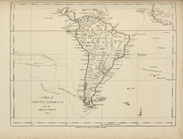
Map of
South
America ...
note:
…
Atlantic
Seaboard.
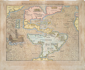
Die Neüwen Inseln so hinder H…
note:
…
Atlantic
Seaboard.
Virginiae item et Floridae Am…
note:
…
Atlantic
Seaboard.
Partie de l'Amerique septentr…
note:
… to
South
Carolina and from the
Atlantic
coast
America Septentrionalis.
note:
…, and northern part of
South
Nova Belgica et Anglia Nova.
note:
Shows New England
south
to Cape Henry
… of ye
South
Sea Company
note:
…
Atlantic
Seaboard.
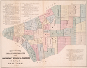
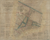
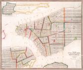
Map of the local boundaries o…
note:
Covers Manhattan
south
of 42nd St.
A map of
South
America and the adjacent
note:
…
Atlantic
Seaboard.
A map of
South
Carolina, from the best
note:
…
Atlantic
Seaboard.
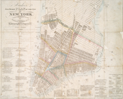
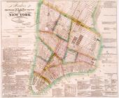
Hooker's new pocket plan of t…
note:
…
south
of 15th street on the west and
south
of 31st
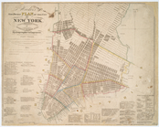
Hooker's new pocket plan of t…
note:
…
south
of 15th street on the west and
south
of 31st
Hooker's new pocket plan of t…
note:
…
south
of 15th Street on the west side and
south
Hooker's new pocket plan of t…
note:
…
south
of 15th street on the west and
south
of 31st
Hooker's new pocket plan of t…
note:
…
south
of 15th Street on the west side and
south
m
Hooker's new pocket plan of t…
note:
…
south
of 15th Street on the west side and
south
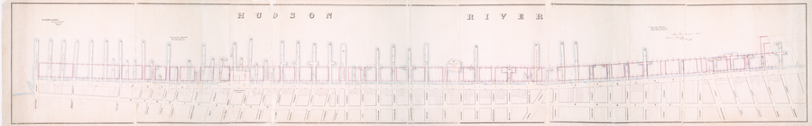
Map of the proposed widening …
note:
…. on the
south
, up to Rector St
m
Survey for a ship canal to co…
note:
Direction arrows pointing
south
.
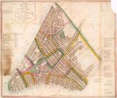
Map of the city of New York :…
note:
Covers Manhattan
south
of 14th St.
Map of the city of New York, …
note:
Covers Manhattan
south
of 51st St.
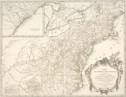
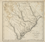
Carolina, Virginia, Mary Land…
note:
…
Atlantic
Seaboard.
…,
South
Carolina
note:
…
Atlantic
Seaboard.
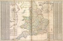
The
south
part of Great Britain, called
note:
…
Atlantic
Seaboard.
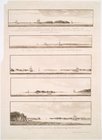
Views of the entrance to New …
note:
….] The
south
shore of Long
Map of property New York Dock…
note:
… waterfront
south
from Fulton
Map of wharves and piers on N…
note:
…
Atlantic
Seaboard.
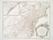
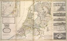
A new and exact map of the Un…
note:
Insets: Part of the
South
Britain, North Sea
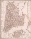
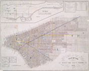
Map of the city of New York :…
note:
Covers Manhattan
south
of 32nd St.