Click to visit the main New York Public Library Homepage
The New York Public Library
Digital Collections
About Digital Collections
Browse
Search only public domain materials
Items
Collections
Divisions
Home
Search
Browse
About
Search only public domain materials
Items
Collections
Divisions
Digital Collections
Using Images
Using Data
Collections
Charting America: Maps from the Lawrence H. Slaughter Collection and Others
Charting America: Maps from the Lawrence H. Slaughter Collection and Others
Navigation
Filters
Charting America: Maps from the Lawrence H. Slaughter Collection and Others
Previous
The south part of Virginia, now the north part of Carolina
0
Atlases, gazetteers, guidebooks and other books
377
Maps of the World
16
Maps of the Oceans
24
Maps of North and South America
23
Maps of North America.
551
Maps of New York City and State
1340
Lawrence H. Slaughter Collection of English maps, charts, globes, books and atlases
1020
John H. Levine Collection
60
More
Show filters
Hide filters
Show Only Public Domain
topic
Administrative and political divisions
11
Real property
9
Railroads
8
History
6
Nautical charts
6
More
Less
name
Burr, David H., 1803-1875
9
S. Stiles & Co
7
Hooker, William
5
Sayer, Robert, 1725-1794
5
Disturnell, John, 1801-1877
4
More
Less
collection
Maps of New York City and State
54
Lawrence H. Slaughter Collection of English maps, charts, globes, books and atlases
28
Atlases, gazetteers, guidebooks and other books
7
John H. Levine Collection
4
Maps of North and South America
2
place
New York (State)
28
New York (N.Y.)
19
Manhattan (New York, N.Y.) -- Maps
14
New York (N.Y.) -- Maps
13
New York
10
More
Less
genre
Maps
95
Cadastral maps
5
Manuscript maps
3
Early works to 1800
1
Facsimiles
1
More
Less
publisher
s.n
6
Printed for Robert Sayer, No. 53, Fleet-Street
3
S. A. Mitchell, jr
3
S.R. Stoddard
3
W. Hooker
3
More
Less
division
Map Division
95
type
cartographic
94
text
3
still image
1
Date Range
to
95 results found for:
West (U.S.)
Sort by:
Relevance
Title
Date created
Date digitized
Sequence
West
Point, New York
use:
Can be
used
on NYPL website
West
Point
use:
Can be
used
on NYPL website
Route of the Albany &
West
Stockbridge Rail
use:
Can be
used
on NYPL website
Plan of
West
Point
use:
Can be
used
on NYPL website
Chart of the N.W. coast of Am…
use:
Can be
used
on NYPL website
Sketch of
West
Pier, Oswego Harbor, September
use:
Can be
used
on NYPL website
Vereinigte Staaten in Nord Am…
use:
Can be
used
on NYPL website
A Map of Carolana and of the …
use:
Can be
used
on NYPL website
Hooker's new pocket plan of t…
use:
Can be
used
on NYPL website
Hooker's new pocket plan of t…
use:
Can be
used
on NYPL website
m
27th assembly district
use:
Can be
used
on NYPL website
Hooker's new pocket plan of t…
use:
Can be
used
on NYPL website
Hooker's new pocket plan of t…
use:
Can be
used
on NYPL website
m
Preliminary geologic map of N…
use:
Can be
used
on NYPL website
1863,
West
Point
use:
Can be
used
on NYPL website
A New generall chart for the
West
use:
Can be
used
on NYPL website
A chart of the
West
Indies, from the latest
use:
Can be
used
on NYPL website
A Generall chart for the
West
Indies : according
use:
Can be
used
on NYPL website
A new generall chart for the
West
use:
Can be
used
on NYPL website
West
India Islands
use:
Can be
used
on NYPL website
A new generall chart for the
West
use:
Can be
used
on NYPL website
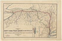
Map of the New York
West
Shore & Buffalo
use:
Can be
used
on NYPL website
… and
West
, commonly called
use:
Can be
used
on NYPL website
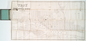
Troy, N.Y., from actual survey
use:
Can be
used
on NYPL website
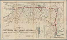
Map of the New York
West
Shore & Buffalo
use:
Can be
used
on NYPL website
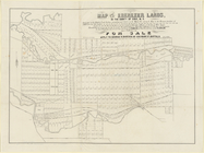
Map of the Ebenezer lands in …
use:
Can be
used
on NYPL website
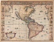
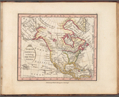
America with those known part…
use:
Can be
used
on NYPL website
Map of the Adirondack wildern…
use:
Can be
used
on NYPL website
A topographical map of Lewis …
use:
Can be
used
on NYPL website
Map of the Adirondack wildern…
use:
Can be
used
on NYPL website
m
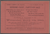
Supreme Court - Partition Sale
use:
Can be
used
on NYPL website
m
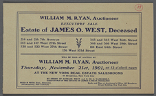
Executors' Sale: Estate of James O.
West
use:
Can be
used
on NYPL website
Map of the Adirondack wildern…
use:
Can be
used
on NYPL website
… with the
West
India Islands
use:
Can be
used
on NYPL website
… with the
West
India Islands
use:
Can be
used
on NYPL website
m
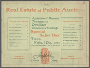
Real Estate at Public Auction
use:
Can be
used
on NYPL website
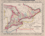
Map of Canada
West
in counties.
use:
Can be
used
on NYPL website
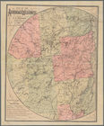
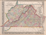
County map of Virginia and
West
Virginia.
use:
Can be
used
on NYPL website
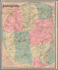
A new and accurate map of the…
use:
Can be
used
on NYPL website
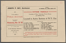
m
Fifteen Parcels Consisting of…
use:
Can be
used
on NYPL website
A new generall chart for the
West
use:
Can be
used
on NYPL website
Castrum Mauritij Ad Ripam Fluminis
S
use:
Can be
used
on NYPL website
m
Hammond's complete map of New…
use:
Can be
used
on NYPL website
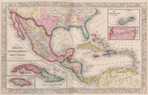
North America, including the
West
Indies
use:
Can be
used
on NYPL website
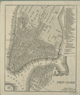
New-York.
use:
Can be
used
on NYPL website
Block distribution of childre…
use:
Can be
used
on NYPL website
Map of the city of Rochester:…
use:
Can be
used
on NYPL website
Map of Bellaire Estates : own…
use:
Can be
used
on NYPL website
A chart of North and South Am…
use:
Can be
used
on NYPL website
…, and the
West
Indies ; Map
use:
Can be
used
on NYPL website