Click to visit the main New York Public Library Homepage
The New York Public Library
Digital Collections
About Digital Collections
Browse
Search only public domain materials
Items
Collections
Divisions
Home
Search
Browse
About
Search only public domain materials
Items
Collections
Divisions
Digital Collections
Using Images
Using Data
Collections
Charting America: Maps from the Lawrence H. Slaughter Collection and Others
Charting America: Maps from the Lawrence H. Slaughter Collection and Others
Navigation
Filters
Charting America: Maps from the Lawrence H. Slaughter Collection and Others
Previous
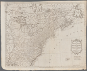
The south part of Virginia, now the north part of Carolina
0
Atlases, gazetteers, guidebooks and other books
377
Maps of the World
16
Maps of the Oceans
24
Maps of North and South America
23
Maps of North America.
551
Maps of New York City and State
1340
Lawrence H. Slaughter Collection of English maps, charts, globes, books and atlases
1020
John H. Levine Collection
60
More
Show filters
Hide filters
Show Only Public Domain
topic
History
118
Nautical charts
9
Atlases, British
8
Geography
5
West Indies, British
5
More
Less
name
Montanus, Arnoldus, 1625?-1683
116
Ogilby, John, 1600-1676
116
Moll, Herman, -1732
7
Sayer, Robert, 1725-1794
6
Jefferys, Thomas, d. 1771
4
More
Less
collection
Lawrence H. Slaughter Collection of English maps, charts, globes, books and atlases
150
Atlases, gazetteers, guidebooks and other books
15
Maps of North and South America
1
Maps of the Oceans
1
place
America
122
West Indies, British
116
West Indies
19
Caribbean Area
10
Atlantic Ocean
8
More
Less
genre
Maps
165
Nautical charts
2
Frontispieces
1
Illustrations
1
Prints
1
More
Less
publisher
Printed by the author, and are to be had at his house
116
Printed for Robert Sayer, No. 53, Fleet-Street
3
P. Goos
3
... Mathew Albert and George Frederick Lotter
2
Apud Haeredes J. Janssonii
2
More
Less
division
Map Division
166
type
still image
98
cartographic
67
text
2
Date Range
to
167 results found for:
West Indies?tab=filter
Sort by:
Relevance
Title
Date created
Date digitized
Sequence
m
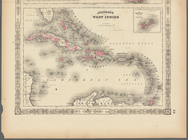
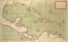
Johnson's
West
Indies
A compleat map of the
West
Indies
, containing
North America, with the
West
Indies
, wherein
… and South and the
West
Indies
...
…, and the
West
Indies
; Map
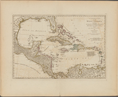
A chart of the
West
Indies
, from the latest
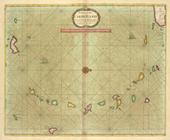
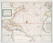
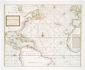
The Atlantic or Western Ocean
note:
… of the
West
Indies
.
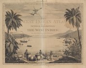
The
West
-India atlas...
note:
… of the
West
Indies
.
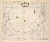
A chart of the CARIBE ILANDS
… of the tradeing part of the
WEST
INDIES
Pascaerte van't Eylant St. Ju…
Pascaert van de Caribes Eylan…
Pascaerte van Vlaemsche, Sout…
Episcopatus Bergensis
Dioecesis Trundhemiensis pars…
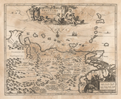
The provinces of New York, an…
note:
… and the
West
Indies
, 1768.
… into North and South and
West
Indies
with a descriptive
… and South, and
West
Indies
m
A chart of North and South Am…
note:
…, and the
West
Indies
-- Chart
A chart of North and South Am…
note:
…, and the
West
Indies
-- Chart
… of the trading part of the
West
Indies
note:
…. ships in the
West
Indies
… with the
West
India Islands
… with the
West
India Islands
Map of the United States in N…
note:
… in the East and
West
Indies
--George Ritzlin. Catalog
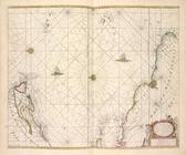
Pas kaart van
West
Indien : behelsende soo
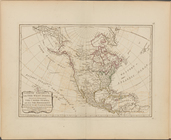
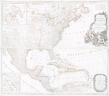
A new map of North America with the
West
… chart for the
West
Indies
of E. Wright
… chart for the
West
Indies
, of E. Wright
A new and correct chart shewi…
note:
…, South America,
West
Indies
, portions
… chart for the
West
Indies
, of E. Wrights
… chart for the
West
Indies
, of E. Wrights
A Generall chart for the
West
Indies
: according
… and the
West
Indies
note:
… and the
West
Indies
. 1768.
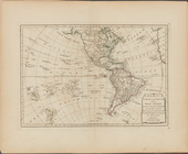
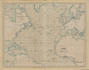
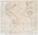
Chart of the Atlantic Ocean.
Scene of Southern South Ameri…
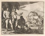
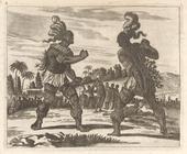
Men wear wide Breeches girt a…
Venezuela cum parte Australi …
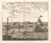
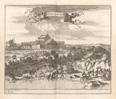
Arx Nassovii.
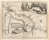
Guiana fiue Amazonum Regio.
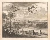
Castrum Mauritij Ad Ripam Flu…
Arx Principis Guiljelmi
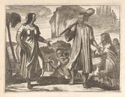
The Priests cut the deceased …
Tapuyans.
When the Executioner began, t…
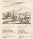
Ponta Tamandere (The Names of…
Serinhaim.
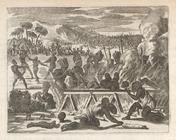
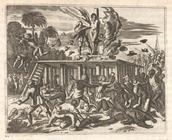
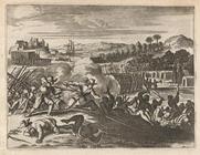
Battle Scene, Brazil
Battle Scene, Brazil
Alagoa Ad Austrum
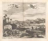
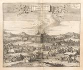
Obsidio Et Expugnatio Portus …