Click to visit the main New York Public Library Homepage
The New York Public Library
Digital Collections
About Digital Collections
Browse
Search only public domain materials
Items
Collections
Divisions
Home
Search
Browse
About
Search only public domain materials
Items
Collections
Divisions
Digital Collections
Using Images
Using Data
Collections
Charting America: Maps from the Lawrence H. Slaughter Collection and Others
Charting America: Maps from the Lawrence H. Slaughter Collection and Others
Navigation
Filters
Charting America: Maps from the Lawrence H. Slaughter Collection and Others
Previous
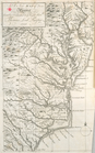
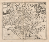
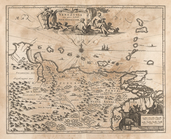
The south part of Virginia, now the north part of Carolina
0
Atlases, gazetteers, guidebooks and other books
377
Maps of the World
16
Maps of the Oceans
24
Maps of North and South America
23
Maps of North America.
551
Maps of New York City and State
1340
Lawrence H. Slaughter Collection of English maps, charts, globes, books and atlases
1020
John H. Levine Collection
60
More
Show filters
Hide filters
Show Only Public Domain
topic
History
20
Atlases, British
8
West Indies, British
5
Geography
3
Coasts
2
More
Less
name
Montanus, Arnoldus, 1625?-1683
18
Ogilby, John, 1600-1676
18
Dunn, Samuel, d. 1794
3
Jefferys, Thomas, d. 1771
3
Sayer, Robert, 1725-1794
3
More
Less
collection
Lawrence H. Slaughter Collection of English maps, charts, globes, books and atlases
30
Atlases, gazetteers, guidebooks and other books
3
Maps of the Oceans
1
place
America
20
West Indies, British
18
Caribbean Area
6
Maps
4
West Indies
4
More
Less
genre
Maps
34
publisher
Printed by the author, and are to be had at his house
18
Printed for Robert Sayer, No. 53, Fleet-Street
3
Printed at the expence of the Society for the encouragement of learning, by S. Richardson ..
2
Printed by A. Godbid and J. Playford, for John Seller ...,
2
And are to be sold at his shopps in Wapping at the Hermitage and in Exchange-Alley near the Royall-Exchange ..
1
More
Less
division
x
Map Division
type
x
cartographic
Date Range
to
34 results found for:
x
West Indies, British?tab=filter
Filtering on:
x
Division
: Map Division
x
Type
: cartographic
Sort by:
Relevance
Title
Date created
Date digitized
Sequence
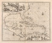
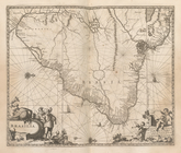
A chart of the
West
Indies
from Cape Cod
topic:
Atlases,
British
A map of the
West
-
Indies
&c
topic:
West
Indies
,
British
m
A chart of the
West
Indias from Cap Cod to ye
topic:
West
Indies
,
British
m
A chart of the
West
Indias from Cap Cod to ye
topic:
West
Indies
,
British
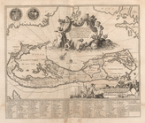
The Western Ilands
note:
Covers the
West
Indies
, Caribbean area
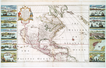
A new and correct map of Amer…
topic:
West
Indies
,
British
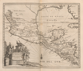
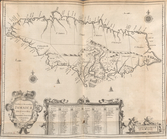
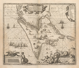
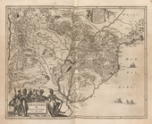
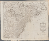
A New map of Virginia.
topic:
West
Indies
,
British
Novissima et Accuratissima To…
Nova Virginiae Tabula
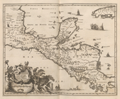
Yucatan Conventus Iuridici Hi…
Nova Hispania Nova Galicia Gv…
Insulae Americanae In Oceano …
Mappa Aestivarum Infularum, a…
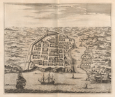
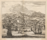
Urbs Domingo In Hispaniola
Novissima et Accuratissima Ja…
Novissima et Acuratissima Bar…
Terra Firma et Novum Regnum G…
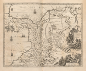
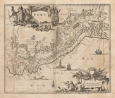
Peru
Chili
Tabula Magellanica Qua Tierra…
Paraqvaria Vulgo Paragvay Cum…
Brasilia
Urbs Salvador
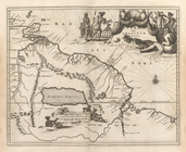
Guiana fiue Amazonum Regio.
Venezuela cum parte Australi …
… and the
West
Indies
note:
… and the
West
Indies
. 1768.
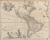
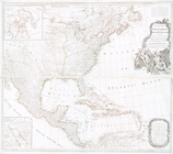
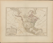
A new map of North America with the
West
collection:
… America with the
West
Map of the United States in N…
note:
… in the East and
West
Indies
--George Ritzlin. Catalog
… of the trading part of the
West
Indies
note:
…. ships in the
West
Indies
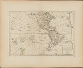
A chart of North and South Am…
note:
…, and the
West
Indies
-- Chart
m
A chart of North and South Am…
note:
…, and the
West
Indies
-- Chart
… and South and the
West
Indies
...
topic:
Atlases,
British
North America, with the
West
Indies
, wherein
topic:
Atlases,
British
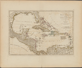
A compleat map of the
West
Indies
, containing
topic:
Atlases,
British
End of results
|
Top