Click to visit the main New York Public Library Homepage
The New York Public Library
Digital Collections
About Digital Collections
Browse
Search only public domain materials
Items
Collections
Divisions
Home
Search
Browse
About
Search only public domain materials
Items
Collections
Divisions
Digital Collections
Using Images
Using Data
Collections
Charting America: Maps from the Lawrence H. Slaughter Collection and Others
Charting America: Maps from the Lawrence H. Slaughter Collection and Others
Navigation
Filters
Charting America: Maps from the Lawrence H. Slaughter Collection and Others
Previous
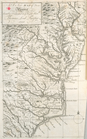
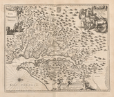
The south part of Virginia, now the north part of Carolina
0
Atlases, gazetteers, guidebooks and other books
377
Maps of the World
16
Maps of the Oceans
24
Maps of North and South America
23
Maps of North America.
551
Maps of New York City and State
1340
Lawrence H. Slaughter Collection of English maps, charts, globes, books and atlases
1020
John H. Levine Collection
60
More
Show filters
Hide filters
Show Only Public Domain
topic
History
118
Atlases, British
8
West Indies, British
5
Geography
3
Coasts
2
More
Less
name
Montanus, Arnoldus, 1625?-1683
116
Ogilby, John, 1600-1676
116
Dunn, Samuel, d. 1794
3
Jefferys, Thomas, d. 1771
3
Sayer, Robert, 1725-1794
3
More
Less
collection
Lawrence H. Slaughter Collection of English maps, charts, globes, books and atlases
128
Atlases, gazetteers, guidebooks and other books
3
Maps of the Oceans
1
place
America
118
West Indies, British
116
Caribbean Area
6
Maps
4
West Indies
4
More
Less
genre
Maps
131
Title pages
1
publisher
Printed by the author, and are to be had at his house
116
Printed for Robert Sayer, No. 53, Fleet-Street
3
Printed at the expence of the Society for the encouragement of learning, by S. Richardson ..
2
Printed by A. Godbid and J. Playford, for John Seller ...,
2
And are to be sold at his shopps in Wapping at the Hermitage and in Exchange-Alley near the Royall-Exchange ..
1
More
Less
division
x
Map Division
type
still image
97
cartographic
34
text
1
Date Range
to
132 results found for:
x
West Indies, British?tab=filter
Filtering on:
x
Division
: Map Division
Sort by:
Relevance
Title
Date created
Date digitized
Sequence
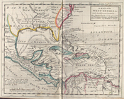
A chart of the
West
Indies
from Cape Cod
topic:
Atlases,
British
A map of the
West
-
Indies
&c
topic:
West
Indies
,
British
m
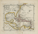
A chart of the
West
Indias from Cap Cod to ye
topic:
West
Indies
,
British
m
A chart of the
West
Indias from Cap Cod to ye
topic:
West
Indies
,
British
The Western Ilands
note:
Covers the
West
Indies
, Caribbean area
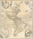
A new and correct map of Amer…
topic:
West
Indies
,
British
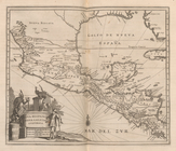
A New map of Virginia.
topic:
West
Indies
,
British
America
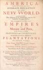
America: Being The Latest, An…
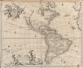
Novissima et Accuratissima To…
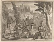
Gold and Silver Smiths in the…
Llama, a four-footed Creature…
Christofel Colonus
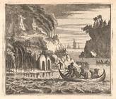
Scene viewed by Columbus.
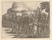
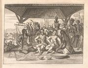
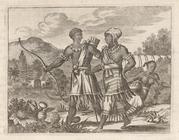
Brave reception of a King in …
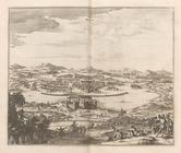
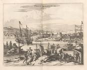
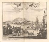
Angra op Tercera
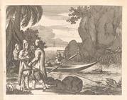
Scene from the Voyage of Piet…
Between these Trees he saw as…
Americus Vesputius
Americus Vesputius found a co…
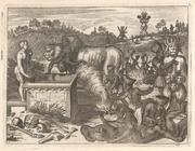
Set the Dogs upon him, who su…
It requires great art and tro…
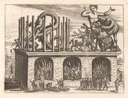
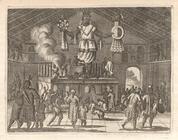
Theatre of Marble, on which s…
A great Lyon of Marble ... th…
Ferdinand Magellanus
Mountain Popocatepeque, so ca…
Vetus Mexico
Temple Cell with Walls bedaub…
Mexicans, who are themselves …
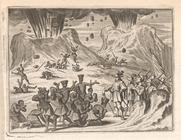
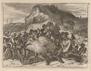
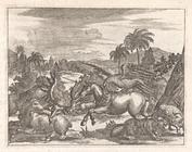
Both Armies were Engaged ... …
Smallest boats are cover'd wi…
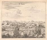
St. Iago
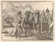
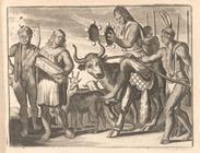
Their Shepherds ride upon a B…
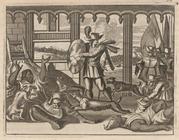
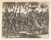
The two Kings meeting again.
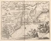
Novi Belgii Hiod nunc Novi Jo…
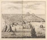
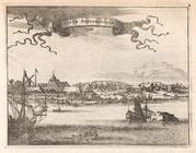
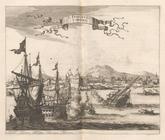
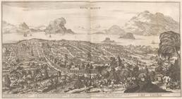
Novum Amsterodamum.
On the Borders of Canada ... …
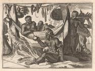
Both Men and Women go for the…
Nova Virginiae Tabula
Native Temple
The King sat with a great Clo…
Pagus Hispanorum
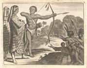
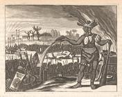
The Inhabitants of Florida ar…
Yucatan Conventus Iuridici Hi…
St. Francisco De Campeche
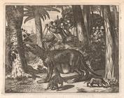
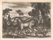
Strange Animals of Guatemala
Truxillo.
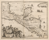
Nova Hispania Nova Galicia Gv…
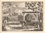
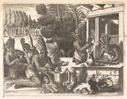
Cacao preparation.
Nova Mexico