Click to visit the main New York Public Library Homepage
The New York Public Library
Digital Collections
About Digital Collections
Browse
Search only public domain materials
Items
Collections
Divisions
Home
Search
Browse
About
Search only public domain materials
Items
Collections
Divisions
Digital Collections
Using Images
Using Data
Collections
Charting America: Maps from the Lawrence H. Slaughter Collection and Others
Charting America: Maps from the Lawrence H. Slaughter Collection and Others
Navigation
Filters
Charting America: Maps from the Lawrence H. Slaughter Collection and Others
Previous
The south part of Virginia, now the north part of Carolina
0
Atlases, gazetteers, guidebooks and other books
377
Maps of the World
16
Maps of the Oceans
24
Maps of North and South America
23
Maps of North America.
551
Maps of New York City and State
1340
Lawrence H. Slaughter Collection of English maps, charts, globes, books and atlases
1020
John H. Levine Collection
60
More
Show filters
Hide filters
Show Only Public Domain
topic
x
Geography
Atlases
111
Geography, Ancient
12
Atlases, British
2
Canals
1
More
Less
name
Society for the Diffusion of Useful Knowledge (Great Britain)
109
J. & C. Walker (Firm)
104
Cary, John, approximately 1754-1835
47
Hughes, William, 1817-1876
4
Smith, Philip, 1817-1885
3
More
Less
collection
Lawrence H. Slaughter Collection of English maps, charts, globes, books and atlases
159
Atlases, gazetteers, guidebooks and other books
2
place
x
Great Britain
Italy
3
Description and travel
2
Early works to 1800
2
Maps
2
More
Less
genre
x
Maps
Frontispieces
1
Geological maps
1
Illustrations
1
historical maps
1
publisher
Chapman and Hall
109
Printed for John Cary
47
Printed for Robert Sayer, No. 53, Fleet-Street
2
Printed for Tho. Basset ... and Ric. Chiswell ...,
2
Printed for Timothy Childe at the White Hart at the West-end of St. Paul's Church-yard
1
division
Map Division
161
type
cartographic
157
text
45
Date Range
to
161 results found for:
x
Atlases
Filtering on:
x
Genre
: Maps
x
Place
: Great Britain
x
Topic
: Geography
Sort by:
Relevance
Title
Date created
Date digitized
Sequence
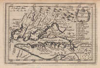
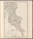
Virginia and Maryland.
topic:
Atlases
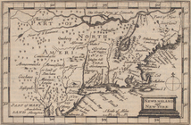
Newengland and New York.
topic:
Atlases
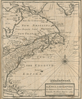
The English empire in America…
collection:
Atlases
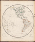
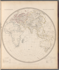
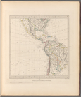
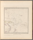
Western Hemisphere
topic:
Atlases
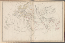
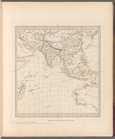
Eastern Hemisphere
topic:
Atlases
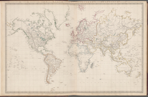
The world on Mercator's proje…
topic:
Atlases
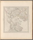
The world as known to the anc…
topic:
Atlases
World on gnomonic projection …
topic:
Atlases
World on gnomonic projection …
topic:
Atlases
World on gnomonic projection …
topic:
Atlases
World on gnomonic projection …
topic:
Atlases
World on gnomonic projection …
topic:
Atlases
World on gnomonic projection …
topic:
Atlases
Europe
topic:
Atlases
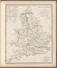
The British Isles
topic:
Atlases
Geological map of England and…
topic:
Atlases
England with its canals and r…
topic:
Atlases
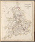
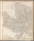
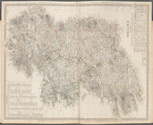
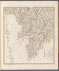
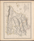
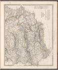
England I
topic:
Atlases
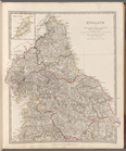
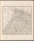
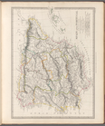
England II
topic:
Atlases
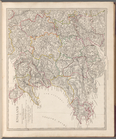
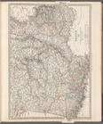
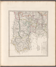
England III
topic:
Atlases
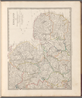
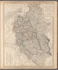
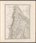
England IV
topic:
Atlases
England V
topic:
Atlases
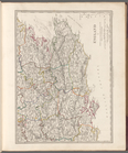
Scotland
topic:
Atlases
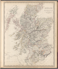
Scotland I
topic:
Atlases
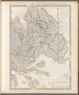
Scotland II
topic:
Atlases
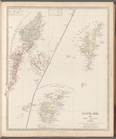
Scotland III: Orkneys, Shetla…
topic:
Atlases
Ancient Britain I
topic:
Atlases
Ancient Britain II
topic:
Atlases
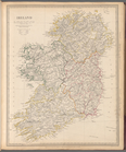
Ireland
topic:
Atlases
Ireland
topic:
Atlases
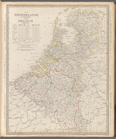
The Netherlands and Belgium
topic:
Atlases
Ancient France or Gallia Tran…
topic:
Atlases
France in provinces
topic:
Atlases
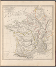
France I
topic:
Atlases
France II
topic:
Atlases
France III
topic:
Atlases
Switzerland
topic:
Atlases
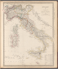
Italy IV: General map includi…
topic:
Atlases
Ancient Italy
topic:
Atlases
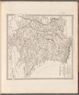
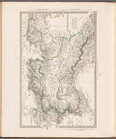
Italy I
topic:
Atlases
Ancient Italy II
topic:
Atlases
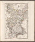
Italy II
topic:
Atlases
Ancient Italy part III, and S…
topic:
Atlases
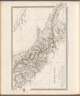
Italy III
topic:
Atlases
Balearic Islands (Las Baleare…
topic:
Atlases
Ancient Spain and Portugal: H…
topic:
Atlases
Spain and Portugal
topic:
Atlases
Spain (Espana) I
topic:
Atlases
Spain (Espana) II
topic:
Atlases
Spain (Espana) III
topic:
Atlases