Click to visit the main New York Public Library Homepage
The New York Public Library
Digital Collections
About Digital Collections
Browse
Search only public domain materials
Items
Collections
Divisions
Home
Search
Browse
About
Search only public domain materials
Items
Collections
Divisions
Digital Collections
Using Images
Using Data
Collections
Charting America: Maps from the Lawrence H. Slaughter Collection and Others
Charting America: Maps from the Lawrence H. Slaughter Collection and Others
Navigation
Filters
Charting America: Maps from the Lawrence H. Slaughter Collection and Others
Previous
The south part of Virginia, now the north part of Carolina
0
Atlases, gazetteers, guidebooks and other books
377
Maps of the World
16
Maps of the Oceans
24
Maps of North and South America
23
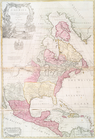
Maps of North America.
551
Maps of New York City and State
1340
Lawrence H. Slaughter Collection of English maps, charts, globes, books and atlases
1020
John H. Levine Collection
60
More
Show filters
Hide filters
Show Only Public Domain
topic
Geography
47
Atlases, British
2
Colonies
2
Geography, Ancient
2
Maps in education
2
More
Less
name
Cary, John, approximately 1754-1835
45
Sheldonian Theatre
2
Wells, Edward, 1667-1727
2
Berry, William, active 1669-1708
1
Carey, Mathew, 1760-1839
1
More
Less
collection
Lawrence H. Slaughter Collection of English maps, charts, globes, books and atlases
56
Atlases, gazetteers, guidebooks and other books
2
place
Great Britain
47
Maps
3
America
2
England
2
North America
2
More
Less
genre
x
Maps
Tables (Data)
1
pages (components)
1
publisher
Printed for John Cary
45
Printed at the Theater,
2
Eidg.-Topographisches Bureau
1
J. Senex
1
Johannis Cloppenburgh
1
More
Less
division
Map Division
55
type
x
text
cartographic
46
Date Range
to
58 results found for:
x
Atlases
Filtering on:
x
Genre
: Maps
x
Type
: text
Sort by:
Relevance
Title
Date created
Date digitized
Sequence
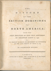
The history of the British do…
collection:
Atlases
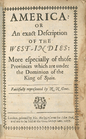
America: : or An exact descri…
collection:
Atlases
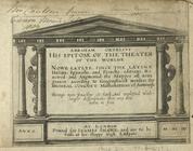
Abraham Ortelius his epitome …
collection:
Atlases
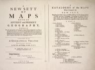
A new sett of maps both of an…
topic:
Atlases
, British
Tabula geographica universi t…
topic:
Atlases
, British
m
North America : : corrected f…
collection:
Atlases
m
North America divided into it…
collection:
Atlases
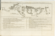
Plan de la Bataille de Montmo…
collection:
Atlases
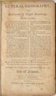
General geography, and rudime…
collection:
Atlases
m
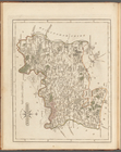
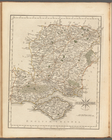
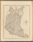
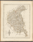
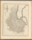
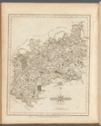
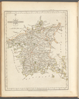
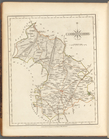
Middlesex
collection:
Atlases
m
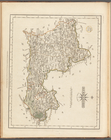
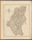
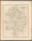
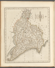
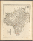
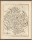
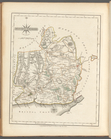
Berkshire
collection:
Atlases
m
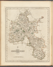
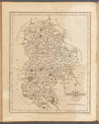
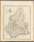
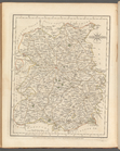
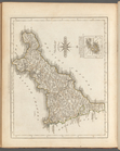
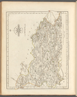
Oxfordshire
collection:
Atlases
m
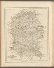
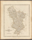
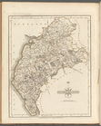
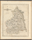
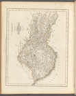
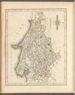
Wiltshire
collection:
Atlases
m
Surry
collection:
Atlases
m
Buckinghamshire
collection:
Atlases
m
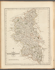
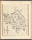
Leicestershire
collection:
Atlases
m
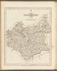
Staffordshire
collection:
Atlases
m
Essex
collection:
Atlases
m
Hertfordshire
collection:
Atlases
m
Northamptonshire
collection:
Atlases
m
Hampshire
collection:
Atlases
m
Kent
collection:
Atlases
m
Bedfordshire
collection:
Atlases
m
Derbyshire
collection:
Atlases
m
Huntingdonshire
collection:
Atlases
m
Suffolk
collection:
Atlases
m
Warwickshire
collection:
Atlases
m
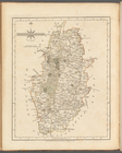
Nottinghamshire
collection:
Atlases
m
Westmoreland
collection:
Atlases
m
Cheshire
collection:
Atlases
m
East Riding of Yorkshire
collection:
Atlases
m
Durham
collection:
Atlases
m
Cumberland
collection:
Atlases
m
Somersetshire
collection:
Atlases
m
Devonshire
collection:
Atlases
m
Shropshire
collection:
Atlases
m
Northumberland
collection:
Atlases
m
Glocestershire
collection:
Atlases
m
Herefordshire
collection:
Atlases
m
Cornwall
collection:
Atlases
m
North Riding of Yorkshire
collection:
Atlases
m
Worcestershire
collection:
Atlases
m
Monmouthshire
collection:
Atlases
m
North part of the West Riding…
collection:
Atlases
m
Dorsetshire
collection:
Atlases
m
Rutlandshire
collection:
Atlases
m
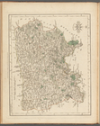
Lincolnshire
collection:
Atlases
m
Yorkshire
collection:
Atlases
m
Sussex
collection:
Atlases
m
Cambridgeshire
collection:
Atlases