Click to visit the main New York Public Library Homepage
The New York Public Library
Digital Collections
About Digital Collections
Browse
Search only public domain materials
Items
Collections
Divisions
Home
Search
Browse
About
Search only public domain materials
Items
Collections
Divisions
Digital Collections
Using Images
Using Data
Collections
Charting America: Maps from the Lawrence H. Slaughter Collection and Others
Charting America: Maps from the Lawrence H. Slaughter Collection and Others
Navigation
Filters
Charting America: Maps from the Lawrence H. Slaughter Collection and Others
Previous
The south part of Virginia, now the north part of Carolina
0
Atlases, gazetteers, guidebooks and other books
377
Maps of the World
16
Maps of the Oceans
24
Maps of North and South America
23
Maps of North America.
551
Maps of New York City and State
1340
Lawrence H. Slaughter Collection of English maps, charts, globes, books and atlases
1020
John H. Levine Collection
60
More
Show filters
Hide filters
Show Only Public Domain
topic
Geography
461
Administrative and political divisions
340
Railroads
317
Real property
302
Landowners
216
More
Less
name
Thornton, Samuel
173
Ortelius, Abraham, 1527-1598
129
Coignet, Michel, 1549-1623
125
Shawe, James
125
Montanus, Arnoldus, 1625?-1683
117
More
Less
collection
Maps of New York City and State
1999
Lawrence H. Slaughter Collection of English maps, charts, globes, books and atlases
1218
Atlases, gazetteers, guidebooks and other books
459
John H. Levine Collection
60
Maps of North and South America
37
More
Less
place
New York (State)
1292
New York (N.Y.)
648
New York
523
Manhattan (New York, N.Y.)
345
Brooklyn (New York, N.Y.)
266
More
Less
genre
x
Maps
Nautical charts
187
Cadastral maps
183
Manuscript maps
71
Aerial views
30
More
Less
publisher
Printed for Ieames Shawe, and are to be solde at his shoppe nigh Ludgate,
125
publisher not identified
119
Printed by the author, and are to be had at his house
115
Chapman and Hall
109
M. Carey
58
More
Less
division
Map Division
3805
Manuscripts and Archives Division
2
type
cartographic
3681
still image
134
text
85
Date Range
to
3,810 results found
Filtering on:
x
Genre
: Maps
Sort by:
Title
Date created
Date digitized
Sequence
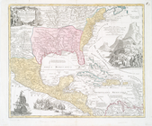
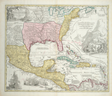
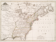
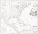
Results 1251 - 1300
Regni Mexicani seu Novae Hisp…
Regni Mexicani seu Novae Hisp…
Regni Mexicani seu Novae Hisp…
Carte generale des treize Eta…
A new map of North America wi…
m
A map of the British and Fren…
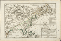
A new map of New England, New…
Costes et rivieres de Virgini…
Carte de la Nouvelle France: …
Canada et Louisiane
Theatre de la guerre en Améri…
A new map of the most conside…
A new map of the most conside…
A new map of the English empi…
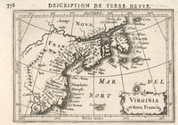
Virginia et Nova Francia
Le Canada, ou Nouvelle France…
Pas kaart van West Indien : b…
North America from the French…
Map of the United States in N…
An accurate map of the Britis…
Vereinigte Staaten in Nord Am…
Amerique septentrionale : sui…
Carte du theatre de la guerre…
Carte du theatre de la guerre…
m
Nova tabula geographica compl…
Nova tabula geographica compl…
Partie orientale du Canada ou…
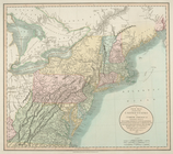
A map of the United States of…
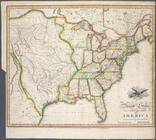
United States of America
A new map of part of the Unit…
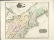
Northern provinces of the Uni…
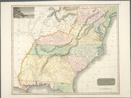
Southern provinces of the Uni…
m
The British colonies in North…
Carte des possessions anglois…
A chart of the coast of New Y…
The English empire in America
The Theatre of war in North A…
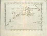
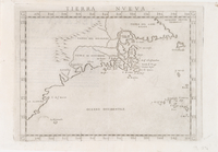
Tierra nveva.
Tierra nveva.
A Map of Carolana and of the …
Paskaert waer in de graden de…
A new chart of America with t…
A new map of the United State…
Carte d'un tres grand pais no…
Ètats-Unis de l'Amérique sept…
North America
A map of the British-plantati…
Carte de l'Amérique septentri…
Carte des possessions anglois…
Carte des possessions anglois…
1
2
3
4
5
6
7
8
9
10
…
15
16
Previous
Next
1
2
3
4
5
6
7
8
9
10
…
15
16
Previous
Next