Click to visit the main New York Public Library Homepage
The New York Public Library
Digital Collections
About Digital Collections
Browse
Search only public domain materials
Items
Collections
Divisions
Home
Search
Browse
About
Search only public domain materials
Items
Collections
Divisions
Digital Collections
Using Images
Using Data
Collections
Charting America: Maps from the Lawrence H. Slaughter Collection and Others
Charting America: Maps from the Lawrence H. Slaughter Collection and Others
Navigation
Filters
Charting America: Maps from the Lawrence H. Slaughter Collection and Others
Previous
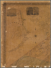
The south part of Virginia, now the north part of Carolina
0
Atlases, gazetteers, guidebooks and other books
377
Maps of the World
16
Maps of the Oceans
24
Maps of North and South America
23
Maps of North America.
551
Maps of New York City and State
1340
Lawrence H. Slaughter Collection of English maps, charts, globes, books and atlases
1020
John H. Levine Collection
60
More
Show filters
Hide filters
Show Only Public Domain
topic
Real property
160
Landowners
117
Administrative and political divisions
34
Railroads
18
Cities and towns
10
More
Less
name
Smith, Robert Pearsall, 1827-1898
16
Dripps, M. (Matthew)
8
French, J. H. (John Homer), 1824-1888
6
J.B. Beers & Co
6
Welcke, Robert A
5
More
Less
collection
Maps of New York City and State
183
place
New York (State)
179
New York
35
New York (N.Y.)
24
Yonkers (N.Y.)
18
Manhattan (New York, N.Y.)
16
More
Less
genre
x
Cadastral maps
Maps
183
Manuscript maps
16
Topographic maps
4
Bathymetric maps
2
More
Less
publisher
publisher not identified
33
J.B. Beers & Co
6
M. Dripps
5
J.H. French
4
Common Council
3
More
Less
division
Map Division
183
type
cartographic
182
still image
4
text
1
Date Range
to
183 results found for:
x
New York (State)?tab=filter
Filtering on:
x
Genre
: Cadastral maps
Sort by:
Relevance
Title
Date created
Date digitized
Sequence
m
… of
New
York
use:
… partner (e.g.,
New
York
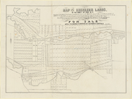
Map of the Ebenezer lands in …
use:
… partner (e.g.,
New
York
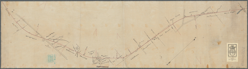
Plan showing route of Rochester and
State
Line R
use:
… partner (e.g.,
New
York
m
Map of the Adirondack Forest …
use:
… partner (e.g.,
New
York
… of northern
New
York
use:
… partner (e.g.,
New
York
Map of French & English grant…
use:
… partner (e.g.,
New
York
… and Chautaqua counties,
New
York
use:
… partner (e.g.,
New
York
Map of Dobbs Ferry and Hastin…
use:
… partner (e.g.,
New
York
m
Map of the vicinity of Albany…
use:
… partner (e.g.,
New
York
m
Map of Waverly Park lots loca…
use:
… partner (e.g.,
New
York
Plan of the Country Club Land…
use:
… partner (e.g.,
New
York
Map of Westminster Park of th…
use:
… partner (e.g.,
New
York
Map of Knollwood, Elmsford, W…
use:
… partner (e.g.,
New
York
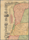
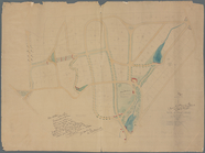
A plott of ye situations of t…
use:
… partner (e.g.,
New
York
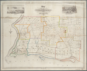
Map of the town of Niagara
use:
… partner (e.g.,
New
York
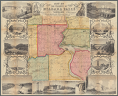
Map of the vicinity of Niagar…
use:
… partner (e.g.,
New
York
… County,
New
York
use:
… partner (e.g.,
New
York
m
Map of Albany County,
New
York
use:
… partner (e.g.,
New
York
m
Map of Cayuga and Seneca Counties,
New
York
use:
… partner (e.g.,
New
York
m
Map of Dutchess Co.,
New
York
use:
… partner (e.g.,
New
York
Map of Broome County,
New
York
use:
… partner (e.g.,
New
York
Map of Chenango County,
New
York
use:
… partner (e.g.,
New
York
Map of Erie County,
New
York
use:
… partner (e.g.,
New
York
m
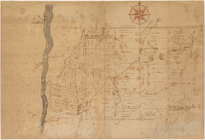
Map of the highlands of the H…
use:
… partner (e.g.,
New
York
… County,
New
York
; plan of Ulster County,
New
York
use:
… partner (e.g.,
New
York
Map of Sullivan County,
New
York
use:
… partner (e.g.,
New
York
A topographical map of Lewis Co.,
New
York
use:
… partner (e.g.,
New
York
Map of Seneca County,
New
York
use:
… partner (e.g.,
New
York
Map of Saratoga Co.,
New
York
use:
… partner (e.g.,
New
York
Map of Rockland Co: [New York]
use:
… partner (e.g.,
New
York
Topographical map of Seneca C…
use:
… partner (e.g.,
New
York
… County,
New
York
; Plan of Rockland Co.,
New
York
use:
… partner (e.g.,
New
York
Map of the County of St. Lawr…
use:
… partner (e.g.,
New
York
A topographical map of Steuben Co.,
New
York
use:
… partner (e.g.,
New
York
Map of the county of Herkimer
use:
… partner (e.g.,
New
York
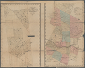
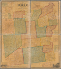
Map of Essex Co.,
New
York
use:
… partner (e.g.,
New
York
m
Map of the southern part of W…
use:
… partner (e.g.,
New
York
m
Map of Tioga County,
New
York
use:
… partner (e.g.,
New
York
m
Map of Suffolk Co., L.I.,
New
York
use:
… partner (e.g.,
New
York
m
Map of Ulster County,
New
York
use:
… partner (e.g.,
New
York
m
Map of Washington County,
New
York
use:
… partner (e.g.,
New
York
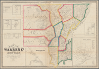
Map of Warren Co.,
New
York
use:
… partner (e.g.,
New
York
m
Map of Rockland County,
New
York
use:
… partner (e.g.,
New
York
m
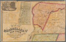
Map of Rensselaer County,
New
York
use:
… partner (e.g.,
New
York
m
Map of Rensselaer Co.,
New
York
use:
… partner (e.g.,
New
York
m
Map of Orange and Rockland Cos.,
New
York
use:
… partner (e.g.,
New
York
m
Schuyler County,
New
York
, with plans
use:
… partner (e.g.,
New
York
m
Gillette's map of Oneida Co.,
New
York
use:
… partner (e.g.,
New
York
m
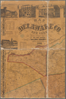
Map of Delaware Co.,
New
York
use:
… partner (e.g.,
New
York
m
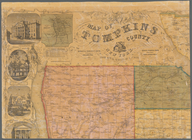
Map of Tompkins County,
New
York
use:
… partner (e.g.,
New
York