Click to visit the main New York Public Library Homepage
The New York Public Library
Digital Collections
About Digital Collections
Browse
Search only public domain materials
Items
Collections
Divisions
Home
Search
Browse
About
Search only public domain materials
Items
Collections
Divisions
Digital Collections
Using Images
Using Data
Collections
Charting America: Maps from the Lawrence H. Slaughter Collection and Others
Charting America: Maps from the Lawrence H. Slaughter Collection and Others
Navigation
Filters
Charting America: Maps from the Lawrence H. Slaughter Collection and Others
Previous
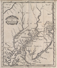
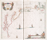
The south part of Virginia, now the north part of Carolina
0
Atlases, gazetteers, guidebooks and other books
377
Maps of the World
16
Maps of the Oceans
24
Maps of North and South America
23
Maps of North America.
551
Maps of New York City and State
1340
Lawrence H. Slaughter Collection of English maps, charts, globes, books and atlases
1020
John H. Levine Collection
60
More
Show filters
Hide filters
Show Only Public Domain
topic
Atlases, British
54
Geography, Ancient
38
Maps in education
38
Nautical charts
12
Coasts
7
More
Less
name
Sheldonian Theatre
38
Wells, Edward, 1667-1727
38
Morden, Robert, approximately 1650-1703
10
Cockerill, Thomas, active 1674-1702
6
Godbid, Anne
4
More
Less
collection
Lawrence H. Slaughter Collection of English maps, charts, globes, books and atlases
101
Atlases, gazetteers, guidebooks and other books
7
place
x
Maps
Early works to 1800
38
England
38
North America
11
America
8
More
Less
genre
Maps
108
Nautical charts
1
publisher
Printed at the Theater,
38
Printed for Robert Morden and Thomas Cockeril, at the Atlas in Cornhill, and at the Three Legs in the Poultrey, over against the Stocks-Market
6
Printed by A. Godbid and J. Playford, for John Seller ...,
4
Sold by Robt. Morden at ye Atlas in Cornhill,
4
And are to be sold at his shopps in Wapping at the Hermitage and in Exchange-Alley near the Royall-Exchange ..
3
More
Less
division
Map Division
108
type
x
cartographic
text
1
Date Range
to
108 results found for:
x
Atlases
Filtering on:
x
Place
: Maps
x
Type
: cartographic
Sort by:
Relevance
Title
Date created
Date digitized
Sequence
A new map of Virginia from th…
collection:
Atlases
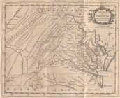
Virginia and Maryland.
topic:
Atlases
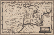
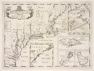
Newengland and New York.
topic:
Atlases
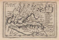
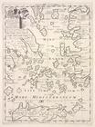
A map of Florida and ye Great…
topic:
Atlases
, British
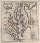
A new map of Virginia
topic:
Atlases
, British
A new map of New Jarsey and P…
topic:
Atlases
, British
A new map of New England and …
topic:
Atlases
, British
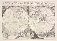
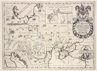
A new map of the terraqueous …
topic:
Atlases
, British
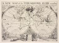
A new map of the terraqueous …
topic:
Atlases
, British
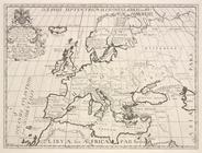
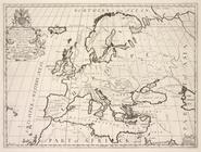
A new map of Europe according…
topic:
Atlases
, British
A new map of Europe according…
topic:
Atlases
, British
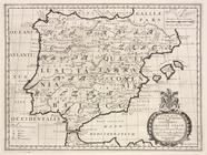
A new map of Iberia Europæa a…
topic:
Atlases
, British
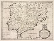
A new map of Ipresent Spain &…
topic:
Atlases
, British
A new map of ancient Gaul or …
topic:
Atlases
, British
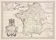
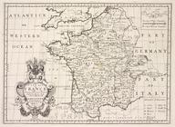
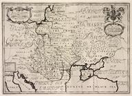
A new map of France, shewing …
topic:
Atlases
, British
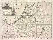
A new map of the Netherlands …
topic:
Atlases
, British
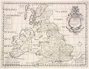
A new map of the British Isle…
topic:
Atlases
, British
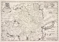
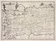
A new map of ancient Germany,…
topic:
Atlases
, British
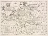
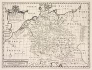
A new map of Germany, shewing…
topic:
Atlases
, British
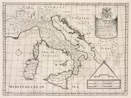
A new map of ancient Italy, t…
topic:
Atlases
, British
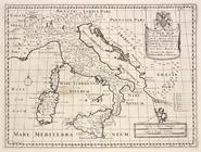
A new map of present Italy, t…
topic:
Atlases
, British
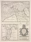
A new map of Gallia Cisalpina…
topic:
Atlases
, British
A new map of Latium, Etruria,…
topic:
Atlases
, British
A new map of ancient Greece T…
topic:
Atlases
, British
A new map of Turky in Europe …
topic:
Atlases
, British
A new map of ancient Thrace, …
topic:
Atlases
, British
A new map of the islands of t…
topic:
Atlases
, British
A new map of Sarmatia Europæa…
topic:
Atlases
, British
A new map of present Poland, …
topic:
Atlases
, British
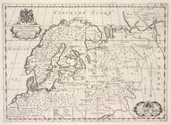
A new map of ancient Scandina…
topic:
Atlases
, British
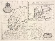
A new map of Denmark, Norway,…
topic:
Atlases
, British
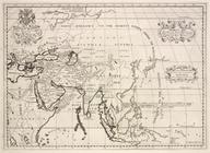
An cient Asia, according to i…
topic:
Atlases
, British
Present Asia distinguisht int…
topic:
Atlases
, British
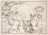
A new map of Great Tartary, a…
topic:
Atlases
, British
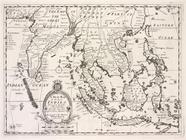
A new map o East Indies, take…
topic:
Atlases
, British
A new map of the western part…
topic:
Atlases
, British
A new map shewing the travels…
topic:
Atlases
, British
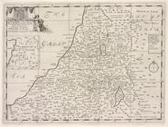
A new map of the Land of Can…
topic:
Atlases
, British
A new map shewing all the sev…
topic:
Atlases
, British
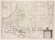
A new map of Libya or old Afr…
topic:
Atlases
, British
A new map of Africk shewing i…
topic:
Atlases
, British
A new map of the north part o…
topic:
Atlases
, British
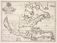
A new map of North America sh…
topic:
Atlases
, British
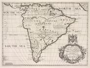
A new map of South Ameerica, …
topic:
Atlases
, British
A new map of the most conside…
topic:
Atlases
, British
A general chart of the West I…
collection:
Atlases
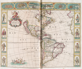
Nova totivs Americæ descripti…
topic:
Atlases
A chart of the sea coasts of …
topic:
Atlases
A chart of the West Indies fr…
topic:
Atlases
Pas caerte van Nieu Nederland…
collection:
Atlases