Click to visit the main New York Public Library Homepage
The New York Public Library
Digital Collections
About Digital Collections
Browse
Search only public domain materials
Items
Collections
Divisions
Home
Search
Browse
About
Search only public domain materials
Items
Collections
Divisions
Digital Collections
Using Images
Using Data
Collections
Charting America: Maps from the Lawrence H. Slaughter Collection and Others
Charting America: Maps from the Lawrence H. Slaughter Collection and Others
Navigation
Filters
Charting America: Maps from the Lawrence H. Slaughter Collection and Others
Previous
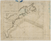
The south part of Virginia, now the north part of Carolina
0
Atlases, gazetteers, guidebooks and other books
377
Maps of the World
16
Maps of the Oceans
24
Maps of North and South America
23
Maps of North America.
551
Maps of New York City and State
1340
Lawrence H. Slaughter Collection of English maps, charts, globes, books and atlases
1020
John H. Levine Collection
60
More
Show filters
Hide filters
Show Only Public Domain
topic
Nautical charts
7
Magnetic declination
2
Trade routes
2
Trade winds
2
World maps
2
More
Less
name
Bowen, Emanuel, d. 1767
2
Cooper, Thomas, d. 1743
2
Halley, Edmond, 1656-1742
2
Bellin, Jacques Nicolas, 1703-1772
1
Bew, John, d. 1793
1
More
Less
collection
Maps of the Oceans
9
Lawrence H. Slaughter Collection of English maps, charts, globes, books and atlases
4
Maps of the World
1
place
x
Maps
Early works to 1800
10
North Atlantic Ocean
10
Atlantic Ocean
7
America
1
More
Less
genre
Maps
14
publisher
Deposito Hidrografico
1
Depost des cartes, plans et journaux de la marine
1
J. Bew
1
Printed by Matthew Carey
1
Printed for Robt. Sayer, map & printseller, No. 53 in Fleet Street,
1
More
Less
division
Map Division
14
type
cartographic
14
text
1
Date Range
to
14 results found for:
x
North Atlantic Ocean?tab=filter
Filtering on:
x
Place
: Maps
Sort by:
Relevance
Title
Date created
Date digitized
Sequence
Isothermal chart, or, View of…
note:
… northwestern
North
America
America.
note:
Variant of Burden, P.D. Mapping of
North
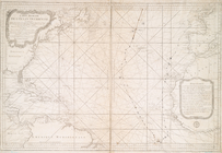
A new chart of the vast
Atlantic
Ocean
note:
…
Atlantic
Seaboard.
A new chart of the vast
Atlantic
Ocean
note:
…
Atlantic
Seaboard.
Carte réduite de l'
Ocean
occidental
note:
…
Atlantic
Seaboard.
… of the Western or
Atlantic
Ocean
note:
…
Atlantic
Seaboard.
Chart of the Gulf Stream
note:
…
Atlantic
Seaboard.
Carta general del Oceano Atla…
note:
…
Atlantic
Seaboard.
m
A chart of the
Atlantic
or Western
Ocean
note:
Shows
North
Atlantic
Ocean
.
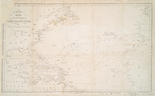
Chart of the
Atlantic
Ocean
note:
Nautical chart of the
North
Atlantic
Ocean
… the tracks across the
North
Atlantic
Ocean
, of Don
note:
…
Atlantic
Seaboard.
… and Southern
Oceans
: …
note:
Covers
North
and South
Atlantic
Oceans
.
A chart of the
Atlantic
Ocean
. I sheet.
note:
…
Atlantic
Seaboard.
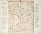
Accuratissima totius terrarum…
note:
… and inset of the
North
Atlantic
Ocean
to the
North
End of results
|
Top