Click to visit the main New York Public Library Homepage
The New York Public Library
Digital Collections
About Digital Collections
Browse
Search only public domain materials
Items
Collections
Divisions
Home
Search
Browse
About
Search only public domain materials
Items
Collections
Divisions
Digital Collections
Using Images
Using Data
Collections
Charting America: Maps from the Lawrence H. Slaughter Collection and Others
Charting America: Maps from the Lawrence H. Slaughter Collection and Others
Navigation
Filters
Charting America: Maps from the Lawrence H. Slaughter Collection and Others
Previous
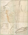
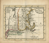
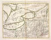
The south part of Virginia, now the north part of Carolina
0
Atlases, gazetteers, guidebooks and other books
377
Maps of the World
16
Maps of the Oceans
24
Maps of North and South America
23
Maps of North America.
551
Maps of New York City and State
1340
Lawrence H. Slaughter Collection of English maps, charts, globes, books and atlases
1020
John H. Levine Collection
60
More
Show filters
Hide filters
Show Only Public Domain
topic
Administrative and political divisions
35
Maps
30
Real property
29
Canals
19
Railroads
17
More
Less
name
Burr, David H., 1803-1875
7
Miller & Co
7
Disturnell, John, 1801-1877
6
Mitchell, S. Augustus (Samuel Augustus), 1792-1868
6
Sherman & Smith
6
More
Less
collection
Maps of New York City and State
121
Lawrence H. Slaughter Collection of English maps, charts, globes, books and atlases
18
place
x
New York (State)
New York (N.Y.)
52
New York
33
Brooklyn (New York, N.Y.)
15
New Jersey
13
More
Less
genre
Maps
139
Title pages
1
publisher
s.n
10
H.S. Tanner
4
Published by J.H. Colton & Co
3
Published by S. Augustus Mitchell
3
s.n
3
More
Less
division
Map Division
139
type
cartographic
132
still image
6
text
5
Date Range
to
139 results found for:
x
Middle Atlantic States?tab=filter
Filtering on:
x
Place
: New York (State)
Sort by:
Relevance
Title
Date created
Date digitized
Sequence
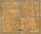
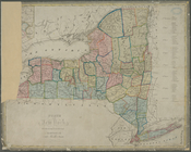
State
of New-York for Spafford's gazetteer
note:
… to Early Maps of the
Middle
Atlantic
Seaboard.
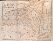
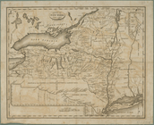
A map of the
state
of New York : compiled
note:
… to Early Maps of the
Middle
Atlantic
Seaboard.
A map of the
state
of New York : exhibiting
note:
… to Early Maps of the
Middle
Atlantic
Seaboard.
… : & the present
state
of the work
note:
… to Early Maps of the
Middle
Atlantic
Seaboard.
An Accurate map of New York i…
note:
Covers New York
State
as far west
… of the
state
of New York
note:
… in the
state
-- City of New
m
Map of New York exhibiting th…
note:
… to Early Maps of the
Middle
Atlantic
Seaboard.
Map of New-York : on the impr…
note:
…, of the
State
of Connecticut."…
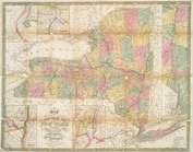
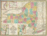
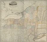
Map of the
State
of New York
note:
… to Early Maps of the
Middle
Atlantic
Seaboard.
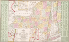
Map of the
State
of New York
note:
… to Early Maps of the
Middle
Atlantic
Seaboard.
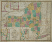
Map of the
State
of New York
note:
… to Early Maps of the
Middle
Atlantic
Seaboard.
Map of the meetings constitut…
note:
… to Early Maps of the
Middle
Atlantic
Seaboard.
m
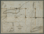
Map of the route of the propo…
note:
Shows New York
state
from Westchester
m
Map of the
state
of New York
note:
… of the
state
of New York."…
Map of the
state
of New York
note:
… to Early Maps of the
Middle
Atlantic
Seaboard.
Map of the
state
of New York : compiled
note:
… to Early Maps of the
Middle
Atlantic
Seaboard.
Map of the
state
of New York : compiled
note:
… to Early Maps of the
Middle
Atlantic
Seaboard.
Map of the
state
of New York : compiled
note:
… to Early Maps of the
Middle
Atlantic
Seaboard.
Map of the
state
of New York : compiled
note:
… to Early Maps of the
Middle
Atlantic
Seaboard.
Map of the
state
of New York : compiled
note:
… to Early Maps of the
Middle
Atlantic
Seaboard.
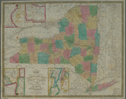
Map of the
state
of New York : showing
note:
… the New York
state
line
New England and New York
note:
… to Early Maps of the
Middle
Atlantic
Seaboard.
Map of the
state
of New York : showing
note:
… the New York
State
line
Map of the
state
of New York : showing
note:
… York
state
line
Map of the
state
of New York : showing
note:
… the New York
State
line
Map of the
state
of New York : showing
note:
Includes population statistics for the
state
Map of the
state
of New York : with parts
note:
… to Early Maps of the
Middle
Atlantic
Seaboard.
Map of the
state
of New York
note:
… to Early Maps of the
Middle
Atlantic
Seaboard.
Map of the
state
of New York
note:
… to Early Maps of the
Middle
Atlantic
Seaboard.
Map of the
state
of New York with part
note:
… to Early Maps of the
Middle
Atlantic
Seaboard.
Map of the
state
of New York
note:
… to Early Maps of the
Middle
Atlantic
Seaboard.
m
Map of the
state
of New-York : with parts
note:
… to Early Maps of the
Middle
Atlantic
Seaboard.
Map shewing the rail roads be…
note:
… to Early Maps of the
Middle
Atlantic
Seaboard.
Neueste Karte von New York : …
note:
… to Early Maps of the
Middle
Atlantic
Seaboard.
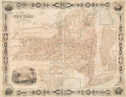
New York
note:
… & Co. of the
state
New York
note:
… to Early Maps of the
Middle
Atlantic
Seaboard.
New York
note:
… to Early Maps of the
Middle
Atlantic
Seaboard.
New York
note:
… to Early Maps of the
Middle
Atlantic
Seaboard.
New York
note:
… to Early Maps of the
Middle
Atlantic
Seaboard.
New-York
note:
From the author's Atlas of the
state
New-York
note:
… to Early Maps of the
Middle
Atlantic
Seaboard.
State
of New York
note:
… to Early Maps of the
Middle
Atlantic
Seaboard.
State
of New York : in Senate Jany. 7th, 1836
note:
… to Early Maps of the
Middle
Atlantic
Seaboard.
State
of New York divided into senatorial
note:
… to Early Maps of the
Middle
Atlantic
Seaboard.
State
of New York, Jany. 1, 1824
note:
Insets: Profile of the western and
middle
The Empire
State
, New York : with its
note:
Ill.: [
State
seal in cartouche] -- Evacuation
The
state
of New York : compiled from
note:
… to Early Maps of the
Middle
Atlantic
Seaboard.
m
The
state
of New
note:
… to Early Maps of the
Middle
Atlantic
Seaboard.
The
state
of New
note:
… to Early Maps of the
Middle
Atlantic
Seaboard.
La Pensilvania, la Nuova York…
note:
… to Early Maps of the
Middle
Atlantic
Seaboard.