Click to visit the main New York Public Library Homepage
The New York Public Library
Digital Collections
About Digital Collections
Browse
Search only public domain materials
Items
Collections
Divisions
Home
Search
Browse
About
Search only public domain materials
Items
Collections
Divisions
Digital Collections
Using Images
Using Data
Collections
Charting America: Maps from the Lawrence H. Slaughter Collection and Others
Charting America: Maps from the Lawrence H. Slaughter Collection and Others
Navigation
Filters
Charting America: Maps from the Lawrence H. Slaughter Collection and Others
Previous
The south part of Virginia, now the north part of Carolina
0
Atlases, gazetteers, guidebooks and other books
377
Maps of the World
16
Maps of the Oceans
24
Maps of North and South America
23
Maps of North America.
551
Maps of New York City and State
1340
Lawrence H. Slaughter Collection of English maps, charts, globes, books and atlases
1020
John H. Levine Collection
60
More
Show filters
Hide filters
Show Only Public Domain
topic
Geography
47
Colonies
1
name
Childe, Timothy
47
Falconer, Robert, active 1700
47
Luyts, Jan, 1655-1721
47
Moll, Herman, -1732
47
collection
Lawrence H. Slaughter Collection of English maps, charts, globes, books and atlases
47
place
North America
4
America
2
Mexico
2
North America -- Maps -- Early works to 1800
2
America -- Maps -- Early works to 1800
1
More
Less
genre
Maps
44
Title pages
2
publisher
x
Printed for Timothy Childe at the White Hart at the West-end of St. Paul's Church-yard
division
Map Division
46
type
cartographic
43
text
3
still image
1
Date Range
to
47 results found for:
x
Middle Atlantic States?tab=filter
Filtering on:
x
Publisher
: Printed for Timothy Childe at the White Hart at the West-end of St. Paul's Church-yard
Sort by:
Relevance
Title
Date created
Date digitized
Sequence
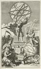
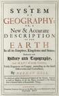
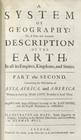
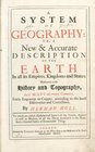
A system of geography with ne…
note:
… to Early Maps of the
Middle
Atlantic
Seaboard.
…, kingdoms and
states
...
note:
… to Early Maps of the
Middle
Atlantic
Seaboard.
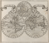
Map of the world.
note:
… to Early Maps of the
Middle
Atlantic
Seaboard.
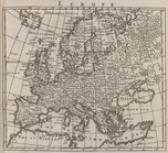
Europe.
note:
… to Early Maps of the
Middle
Atlantic
Seaboard.
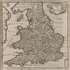
Britain.
note:
… to Early Maps of the
Middle
Atlantic
Seaboard.
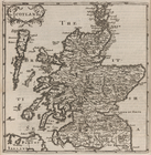
Scotland.
note:
… to Early Maps of the
Middle
Atlantic
Seaboard.
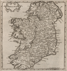
Ireland.
note:
… to Early Maps of the
Middle
Atlantic
Seaboard.
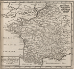
France.
note:
… to Early Maps of the
Middle
Atlantic
Seaboard.
The Spanish Netherlands.
note:
… to Early Maps of the
Middle
Atlantic
Seaboard.
Holland and the other provinc…
note:
… to Early Maps of the
Middle
Atlantic
Seaboard.
Germany.
note:
… to Early Maps of the
Middle
Atlantic
Seaboard.
Savoy and Piedmont.
note:
… to Early Maps of the
Middle
Atlantic
Seaboard.
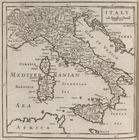
Italy.
note:
… to Early Maps of the
Middle
Atlantic
Seaboard.
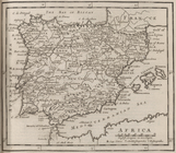
Spain and Portugal.
note:
… to Early Maps of the
Middle
Atlantic
Seaboard.
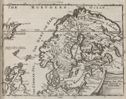
Scandinavia, comprehending No…
note:
… to Early Maps of the
Middle
Atlantic
Seaboard.
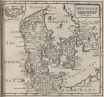
Denmark.
note:
… to Early Maps of the
Middle
Atlantic
Seaboard.
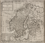
Sweden, and Norway.
note:
… to Early Maps of the
Middle
Atlantic
Seaboard.
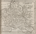
Poland.
note:
… to Early Maps of the
Middle
Atlantic
Seaboard.
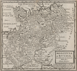
Moscovia or Russia. Divided i…
note:
… to Early Maps of the
Middle
Atlantic
Seaboard.
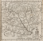
Hungary.
note:
… to Early Maps of the
Middle
Atlantic
Seaboard.
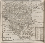
Turky [Turkey] in Europe.
note:
… to Early Maps of the
Middle
Atlantic
Seaboard.
…, kingdoms and
states
...
note:
… to Early Maps of the
Middle
Atlantic
Seaboard.
Asia.
note:
… to Early Maps of the
Middle
Atlantic
Seaboard.
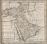
Turky [Turkey] in Asia.
note:
… to Early Maps of the
Middle
Atlantic
Seaboard.
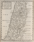
Canaan, Palestine or The Holy…
note:
… to Early Maps of the
Middle
Atlantic
Seaboard.
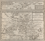
Part of China (a tract of the…
note:
… to Early Maps of the
Middle
Atlantic
Seaboard.
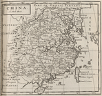
China.
note:
… to Early Maps of the
Middle
Atlantic
Seaboard.
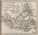
The principal islands of the …
note:
… to Early Maps of the
Middle
Atlantic
Seaboard.
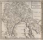
India, or the Mogul's Empire.
note:
… to Early Maps of the
Middle
Atlantic
Seaboard.
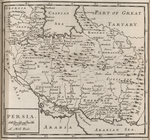
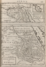
Persia.
note:
… to Early Maps of the
Middle
Atlantic
Seaboard.
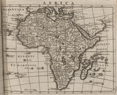
Africa.
note:
… to Early Maps of the
Middle
Atlantic
Seaboard.
Barbary and Bildulgerid ; A m…
note:
… to Early Maps of the
Middle
Atlantic
Seaboard.
Egypt and Barca &c. ; Abissin…
note:
… to Early Maps of the
Middle
Atlantic
Seaboard.
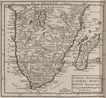
Congo. Angola. Cafres. Monoem…
note:
… to Early Maps of the
Middle
Atlantic
Seaboard.
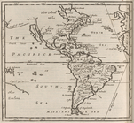
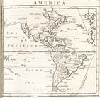
America.
note:
… to Early Maps of the
Middle
Atlantic
Seaboard.
m
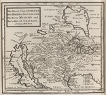
The isle of California, New M…
note:
… to Early Maps of the
Middle
Atlantic
Seaboard.
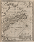
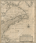
The English Empire in America…
note:
… to Early Maps of the
Middle
Atlantic
Seaboard.
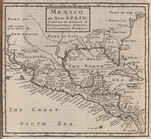
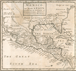
Mexico, or, New Spain : divid…
note:
… to Early Maps of the
Middle
Atlantic
Seaboard.
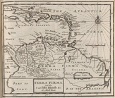
Terra Firma and the Caribbe I…
note:
… to Early Maps of the
Middle
Atlantic
Seaboard.
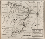
Brasil, divided into its capt…
note:
… to Early Maps of the
Middle
Atlantic
Seaboard.
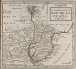
The great province of Rio de …
note:
… to Early Maps of the
Middle
Atlantic
Seaboard.
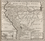
Peru and the Amazones, countr…
note:
… to Early Maps of the
Middle
Atlantic
Seaboard.
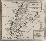
Chili Magellans-land, and Ter…
note:
… to Early Maps of the
Middle
Atlantic
Seaboard.
…, kingdoms and
states
...
note:
… to Early Maps of the
Middle
Atlantic
Seaboard.
America.
note:
… to Early Maps of the
Middle
Atlantic
Seaboard.
The English empire in America…
note:
… to Early Maps of the
Middle
Atlantic
Seaboard.
Mexico, or, New Spain : divid…
note:
… to Early Maps of the
Middle
Atlantic
Seaboard.
End of results
|
Top