Click to visit the main New York Public Library Homepage
The New York Public Library
Digital Collections
About Digital Collections
Browse
Search only public domain materials
Items
Collections
Divisions
Home
Search
Browse
About
Search only public domain materials
Items
Collections
Divisions
Digital Collections
Using Images
Using Data
Collections
Charting America: Maps from the Lawrence H. Slaughter Collection and Others
Charting America: Maps from the Lawrence H. Slaughter Collection and Others
Navigation
Filters
Charting America: Maps from the Lawrence H. Slaughter Collection and Others
Previous
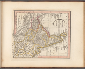
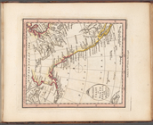
The south part of Virginia, now the north part of Carolina
0
Atlases, gazetteers, guidebooks and other books
377
Maps of the World
16
Maps of the Oceans
24
Maps of North and South America
23
Maps of North America.
551
Maps of New York City and State
1340
Lawrence H. Slaughter Collection of English maps, charts, globes, books and atlases
1020
John H. Levine Collection
60
More
Show filters
Hide filters
Show Only Public Domain
topic
Atlases
53
Historical geography
53
Maps in education
53
Geography, Ancient
12
name
Faden, William, 1749-1836
53
Palmer, W. (William), 1739-1812
27
Hatchett, J. (John)
15
Foot, T. (Thomas)
4
Conder, Thomas, 1746 or 1747-1831
1
collection
Lawrence H. Slaughter Collection of English maps, charts, globes, books and atlases
53
place
England
53
Great Britain
53
Africa
3
North America
3
Denmark
2
More
Less
genre
Maps
53
publisher
x
Published by Wm. Faden, geographer to His Majesty, and His R.H. the Prince of Wales
division
Map Division
53
type
x
cartographic
Date Range
to
53 results found for:
x
Atlases
Filtering on:
x
Publisher
: Published by Wm. Faden, geographer to His Majesty, and His R.H. the Prince of Wales
x
Type
: cartographic
Sort by:
Relevance
Title
Date created
Date digitized
Sequence
Orbis veteribus notus
topic:
Atlases
Orbis Romani, pars occidental…
topic:
Atlases
Orbis Romani, pars orientalis
topic:
Atlases
Britanniae facies antiqua
topic:
Atlases
Galliae antiquae conspectus
topic:
Atlases
Hispania Vetus
topic:
Atlases
Italiae veteris delineatio
topic:
Atlases
Graeciae antiquae et aegaei m…
topic:
Atlases
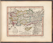
Brevis Asiae Minoris descript…
topic:
Atlases
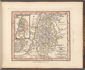
Palaestina quce et Chanaan et…
topic:
Atlases
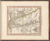
Aegyptus antiqua
topic:
Atlases
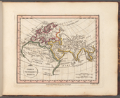
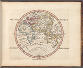
The Old World: Eastern Hemisp…
topic:
Atlases
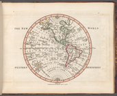
The New World: Western Hemisp…
topic:
Atlases
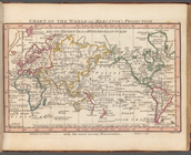
Chart of the world on Mercato…
topic:
Atlases
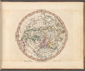
Northern Hemisphere
topic:
Atlases
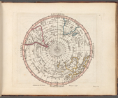
Southern Hemisphere
topic:
Atlases
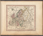
Europe and its general divisi…
topic:
Atlases
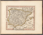
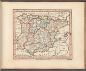
Spain and Portugal
topic:
Atlases
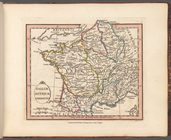
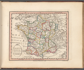
France, divided into military…
topic:
Atlases
British Isles or Great Britai…
topic:
Atlases
England and Wales or South Br…
topic:
Atlases
Scotland, or North Britain
topic:
Atlases
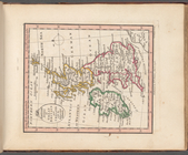
Ireland divided into province…
topic:
Atlases
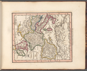
VII United Provinces, Netherl…
topic:
Atlases
Denmark and Holstein
topic:
Atlases
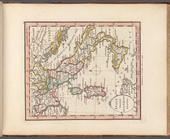
Scandinavia comprehending Swe…
topic:
Atlases
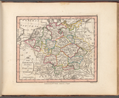
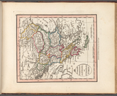
The Germanic States or Empire…
topic:
Atlases
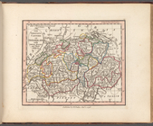
The thirteen cantons of Swiss…
topic:
Atlases
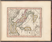
Italy divided into its respec…
topic:
Atlases
States of the King of Sardini…
topic:
Atlases
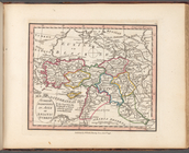
Turkish dominions in Europe, …
topic:
Atlases
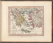
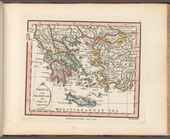
Greece and Archipelago with p…
topic:
Atlases
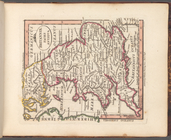
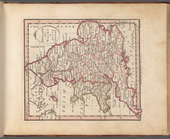
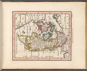
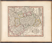
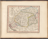
Hungary Gallicia and Transilv…
topic:
Atlases
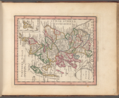
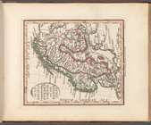
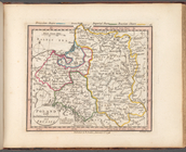
Poland with its dismemberment…
topic:
Atlases
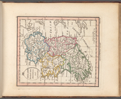
European Russia or Moscovy, o…
topic:
Atlases
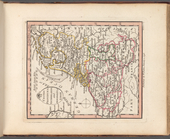
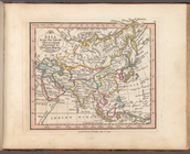
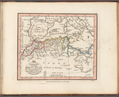
Asia from the latest observat…
topic:
Atlases
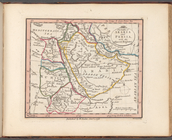
Turkish dominions in Asia or …
topic:
Atlases
The Gulfs of Arabia and Persi…
topic:
Atlases
The Kingdom of Persia
topic:
Atlases
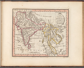
The East Indies according to …
topic:
Atlases
Hind, Hindoostan, or India
topic:
Atlases
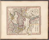
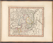
China and Chinese Tartary, wi…
topic:
Atlases
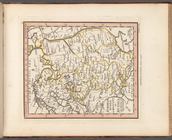
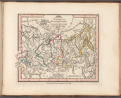
Siberia or Russian Tartary or…
topic:
Atlases
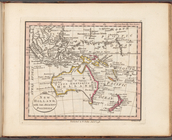
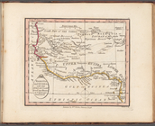
New Holland, with the adjacen…
topic:
Atlases
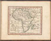
Africa according to the lates…
topic:
Atlases
Barbary including Morocco Alg…
topic:
Atlases
Nigritia and Guinea; with the…
topic:
Atlases
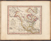
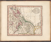
North America, including the …
topic:
Atlases
British possessions in North …
topic:
Atlases
Western Coast of North Americ…
topic:
Atlases