Click to visit the main New York Public Library Homepage
The New York Public Library
Digital Collections
About Digital Collections
Browse
Search only public domain materials
Items
Collections
Divisions
Home
Search
Browse
About
Search only public domain materials
Items
Collections
Divisions
Digital Collections
Using Images
Using Data
Collections
Charting America: Maps from the Lawrence H. Slaughter Collection and Others
Charting America: Maps from the Lawrence H. Slaughter Collection and Others
Navigation
Filters
Charting America: Maps from the Lawrence H. Slaughter Collection and Others
Previous
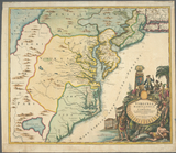
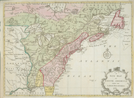
The south part of Virginia, now the north part of Carolina
0
Atlases, gazetteers, guidebooks and other books
377
Maps of the World
16
Maps of the Oceans
24
Maps of North and South America
23
Maps of North America.
551
Maps of New York City and State
1340
Lawrence H. Slaughter Collection of English maps, charts, globes, books and atlases
1020
John H. Levine Collection
60
More
Show filters
Hide filters
Show Only Public Domain
topic
Real property
10
Administrative and political divisions
6
Railroads
3
Harbors
2
Homes and haunts
2
More
Less
name
Brion de la Tour, Louis, -1823
3
Hayward, George, approximately 1800-
2
Jaillot, Alexis Hubert, 1632?-1712
2
Perkins, Charles
2
Robert de Vaugondy, Gilles, 1688-1766
2
More
Less
collection
Maps of New York City and State
34
Lawrence H. Slaughter Collection of English maps, charts, globes, books and atlases
14
John H. Levine Collection
6
Maps of North and South America
1
Maps of the World
1
place
New York (State)
20
New York (N.Y.)
18
Brooklyn (New York, N.Y.)
10
New York
10
North America
8
More
Less
genre
Maps
56
Cadastral maps
2
publisher
x
s.n
Published ... by W. Heather at the Navigation Warehouse, No. 157 Leadenhall Street,
1
division
Map Division
56
type
cartographic
54
still image
2
Date Range
to
56 results found for:
x
Maps?tab=filter
Filtering on:
x
Publisher
: s.n.
Sort by:
Relevance
Title
Date created
Date digitized
Sequence
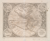
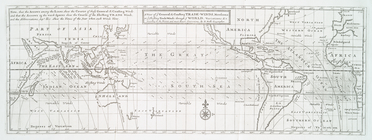
America, siue, India Nova: ad…
note:
Burden, P.D.
Mapping
of North America
Map
of the meetings constituting New York Yearly
note:
… to Early
Maps
of the Middle
m
Map
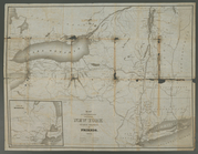
of the route of the proposed New York & Erie
note:
…
maps
.
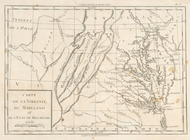
Carte de la Virginie, du Mary…
note:
… statement on first
map
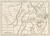
Carte de la Pensylvanie et du…
note:
… statement on first
map
Carte de la Nouvelle York : y…
note:
… statement on first
map
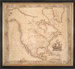
Part of North America: compre…
collection:
… of English
maps
, charts
America.
note:
… to Early
Maps
of the Middle
State of New York divided int…
note:
… to Early
Maps
of the Middle
Squire's
map
of the state of New York
note:
Purchase; Boston Rare
Maps
; 2010/06/29
Kniga glagolema︠i︡a kosmograf…
topic:
World
maps
Carte de la Virginie et du Ma…
collection:
Charts and
maps
Virginia, Marylandia et Carol…
note:
… to Early
Maps
of the Middle
A new
map
of North America from the latest
note:
Copy in
Map
Div. 97-6092: Lawrence H
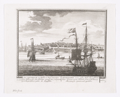
A Chart of ye coast of New En…
note:
… to Early
Maps
of the Middle
North America
note:
… to Early
Maps
of the Middle
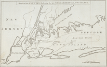
Sketch of the country illustr…
note:
LC
Maps
of North America, 1750-1789, 1150
A chart of the bar of Sandy H…
note:
… to Early
Maps
of the Middle
Nieu Amsterdam, een stedeken …
note:
Phillips.
Maps
of America, p. 520
A view of ye general & coasti…
note:
… to Early
Maps
of the Middle
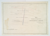
Map
showing land required for Croton
note:
… to Early
Maps
of the Middle
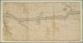
Map
of the Hudson River from Newburgh
note:
NYPL. Dictionary catalog of the
Map
m
Geological
map
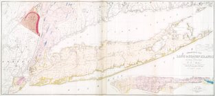
of Long & Staten islands
note:
Includes inset "
Map
of New-York Island."…
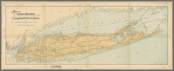
Map
of Long Island showing the Long Island
m
Map
of the city of Albany
note:
… to Early
Maps
of the Middle
Map
of the city of Albany
note:
… to Early
Maps
of the Middle
m
Plan of property situate in t…
collection:
Maps
of New York City and State
Map
of the village of Hermannville, Town of Islip
note:
Inset:
Map
of Long Island, 1850.
West Point
note:
… to Early
Maps
of the Middle
Map
of the village at Little Falls
note:
Purchase; Boston Rare
Maps
, 88 High
A plan of New York Island, pa…
note:
… catalog of the
Map
A
map
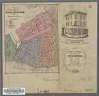
of the village of Williamsburgh
note:
… to Early
Maps
of the Middle
Map
of property on Brooklyn Heights, or
note:
… to Early
Maps
of the Middle
Map
of the City of Williamsburg with part
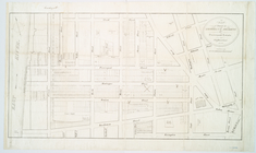
Plan of the U. S. Navy Yard, …
collection:
Maps
of New York City and State
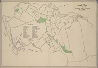
Guide
Map
to the Brooklyn and Queens Parks
m
Plan of property situate in t…
collection:
Maps
of New York City and State
m
Peremptory sale of a suburban…
note:
Includes vicinity
map
of Flatbush
m
Map
of the consolidated City of Brooklyn
Map
of the city of Brooklyn
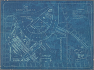
City of New Manhattan : propo…
collection:
Maps
of New York City and State
Map
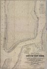
of the city of New York, 1850
note:
… to Early
Maps
of the Middle
Map
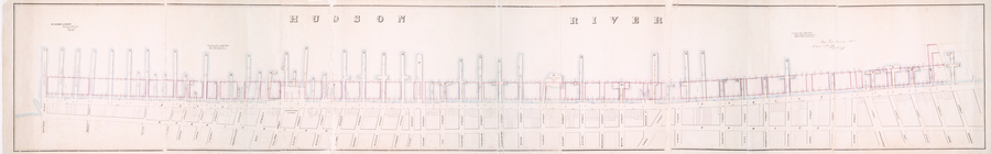
of wharves and piers on North River
note:
… to Early
Maps
of the Middle
m
New
map
of that part of the city of New
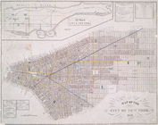
Plan of the city of New-York
note:
Cartouche pasted on
map
.
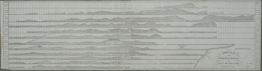
Profile of the twelve avenues…
note:
… to Early
Maps
of the Middle
Map
of the Marine Hospital ground, Staten
note:
… to Early
Maps
of the Middle
Map
of property at New Brighton, Staten
Map
of property at New Brighton, Staten
note:
Mapping
the Nation (NEH grant, 2015-2018)…
New York and Perthamboy Harbo…
note:
… to Early
Maps
of the Middle