Click to visit the main New York Public Library Homepage
The New York Public Library
Digital Collections
About Digital Collections
Browse
Search only public domain materials
Items
Collections
Divisions
Home
Search
Browse
About
Search only public domain materials
Items
Collections
Divisions
Digital Collections
Using Images
Using Data
Collections
Charting America: Maps from the Lawrence H. Slaughter Collection and Others
Charting America: Maps from the Lawrence H. Slaughter Collection and Others
Navigation
Filters
Charting America: Maps from the Lawrence H. Slaughter Collection and Others
Previous
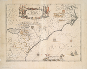
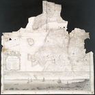
The south part of Virginia, now the north part of Carolina
0
Atlases, gazetteers, guidebooks and other books
377
Maps of the World
16
Maps of the Oceans
24
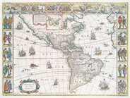
Maps of North and South America
23
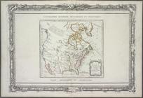
Maps of North America.
551
Maps of New York City and State
1340
Lawrence H. Slaughter Collection of English maps, charts, globes, books and atlases
1020
John H. Levine Collection
60
More
Show filters
Hide filters
Show Only Public Domain
topic
Nautical charts
34
Colonies
19
Geography
13
History
11
Atlases, British
10
More
Less
name
Moll, Herman, -1732
16
Zatta, Antonio, fl. 1757-1797
12
Faden, William, 1749-1836
10
Smith, John, 1580-1631
9
Homann Erben (Firm)
8
More
Less
collection
x
Lawrence H. Slaughter Collection of English maps, charts, globes, books and atlases
place
North America
114
North America -- Maps -- Early works to 1800
32
America
30
Maps
29
United States
23
More
Less
genre
Maps
257
Facsimiles
1
Nautical charts
1
publisher
Presso Antonio Zatta
12
s.n
9
s.n.,
6
Printed for Timothy Childe at the White Hart at the West-end of St. Paul's Church-yard
5
Pub. by E.M. Blunt for W. Hooker
5
More
Less
division
Map Division
256
type
cartographic
255
text
4
still image
1
Date Range
to
257 results found for:
x
North America?tab=filter
Filtering on:
x
Collection
: 6a373d50-c5d3-012f-a6fb-58d385a7bc34
Sort by:
Relevance
Title
Date created
Date digitized
Sequence
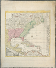
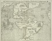
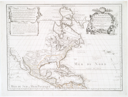
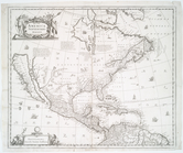
Amerique septentrionale : sui…
note:
… edge:
America
.
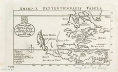
Americae
septentrionalis tabula
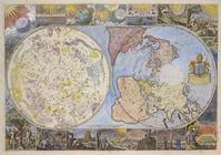
Map of the heavens and the ea…
note:
… centered on
North
Pole
Guyane, Terra ferme, Isles an…
note:
…
North
America
as far
north
as Delaware Bay.
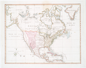
Nouveau Mexique, Louisiane, C…
Americae
nova tabula
note:
Burden, P. D. Mapping of
North
America
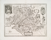
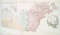
Virginiae partis australis et…
note:
Burden, P.D. Mapping of
North
America
To the independent mariners of
America
note:
Oriented with
north
toward the upper right.
… of
North
America
note:
…, in the Southern Provinces of
North
America
. 1787. Opp. p. 1.
The seat of action between th…
note:
LC Maps of
North
America
, 1750-1789, 1146
m
A map of the provinces of New…
note:
LC Maps of
North
America
, 1750-1789, 1048
A chart of the bar of Sandy H…
note:
LC Maps of
North
America
, 1750-1789, 1293
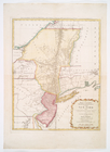
A map of the provinces of New…
note:
LC Maps of
North
America
, 1750-1789, 1048
Mappa geographica Provinciae …
note:
LC Maps of
North
America
, 1750-1789, 1049
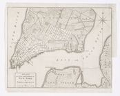
A plan of the city of New-Yor…
note:
… Majesty's forces in
North
America
, and Colonel
… of New York in
North
America
: surveyed
note:
Appears in Faden's
North
American atlas.
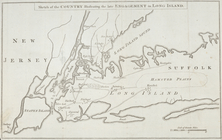
Sketch of the country illustr…
note:
LC Maps of
North
America
, 1750-1789, 1150
m
The southern part of the Prov…
note:
Phillips. Maps of
North
America
, p. 505
A chart of New York Island &
North
River
note:
… LC Maps of
North
America
, 1750-1789.
… in
North
America
[A chart of New York Island &
North
note:
… to LC Maps of
North
America
, 1750-1789. …
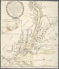
The provinces of New York, an…
note:
LC Maps of
North
America
, 1750-1789, 1046
… of New-York in
North
America
, divided
collection:
… of New-York in
North
America
m
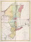
The provinces of New York, an…
note:
LC Maps of
North
America
, 1750-1789, 1045
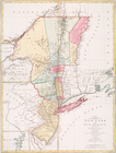
The provinces of New York, an…
note:
… topography of
North
America
A plan of Fort Montgomery & F…
note:
… in LC Maps of
North
America
, 1750-1789, 1191.
The country twenty five miles…
note:
… in
North
America
," distance
North
America
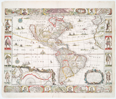
… of
America
: divided into
North
and South and West
note:
Includes inset "The supplement to
North
America
America
, nouiter delineata.
note:
Described in Burden's Mapping of
North
America
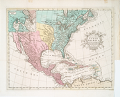
A General map of
America
divided into
North
America
divided into
North
and South
m
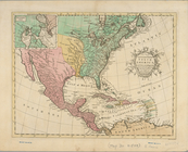
A chart of
North
and South
America
note:
… settlements in
North
America
A chart of
North
and South
America
note:
… of
North
and South
America
Tabula nouarum insularum, qua…
note:
Burden, P.D. Mapping of
North
America
A new and most exact map of
America
note:
Burden, P.D. Mapping of
North
America
Carte de l'Amérique septentri…
note:
Variant of LC Maps of
North
America
, 1750-1789
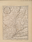
Nova Virginiae tabvla.
note:
Oriented with
north
to the right.
L'Amerique Septentrionale : d…
note:
Phillips. Maps of
America
, p. 564
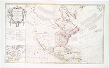
Amerique septentrionale.
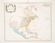
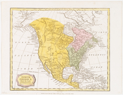
A new map of
North
America
note:
… that "
North
America
is divided
m
Amérique Septentrionale publi…
note:
Phillips. Maps of
America
, p. 571
Amérique Septentrionale publi…
note:
Phillips. Maps of
America
, p. 571
L'Amérique septentrionale
note:
LC Maps of
North
America
, 1750-1789, 76
A new mapp of
America
Septentrionale
note:
Tooley. The mapping of
America
, p. 119, pl. 40
America
septentrionalis.
note:
… of
North
America
, 245
America
Septentrionalis.
note:
Burden, P.D. Mapping of
North
America
North
America
from the best authorities
A new and accurate map of
North
America
note:
LC Maps of
North
America
, 1750-1789, 108
A new and accurate map of
North
America
note:
LC Maps of
North
America
, 1750-1789, 108
1
2
Previous
Next
1
2
Previous
Next