Click to visit the main New York Public Library Homepage
The New York Public Library
Digital Collections
About Digital Collections
Browse
Search only public domain materials
Items
Collections
Divisions
Home
Search
Browse
About
Search only public domain materials
Items
Collections
Divisions
Digital Collections
Using Images
Using Data
Collections
Charting America: Maps from the Lawrence H. Slaughter Collection and Others
Charting America: Maps from the Lawrence H. Slaughter Collection and Others
Navigation
Filters
Charting America: Maps from the Lawrence H. Slaughter Collection and Others
Previous
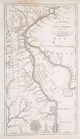
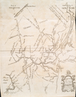
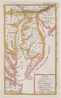
The south part of Virginia, now the north part of Carolina
0
Atlases, gazetteers, guidebooks and other books
377
Maps of the World
16
Maps of the Oceans
24
Maps of North and South America
23
Maps of North America.
551
Maps of New York City and State
1340
Lawrence H. Slaughter Collection of English maps, charts, globes, books and atlases
1020
John H. Levine Collection
60
More
Show filters
Hide filters
Show Only Public Domain
topic
Nautical charts
41
History
9
Harbors
7
Coasts
6
Long Island, Battle of, New York, N.Y., 1776
4
More
Less
name
Fisher, Joshua, 1707-1783
8
Moll, Herman, -1732
7
Blunt, Edmund M. (Edmund March), 1770-1862
6
Hooker, William
6
Seller, Jeremiah
6
More
Less
collection
x
Lawrence H. Slaughter Collection of English maps, charts, globes, books and atlases
place
New York (N.Y.)
36
New Jersey
27
North America
21
Maps
16
Delaware
14
More
Less
genre
Maps
153
publisher
s.n.,
15
s.n
14
Pub. by E.M. Blunt for W. Hooker
4
Printed by James Parker, and a few Copies are to be Sold by him, and Benjamin Franklin, in Philadelphia;
3
Printed for Jer. Seller and Char. Price, at the Hermitage in Wapping
3
More
Less
division
Map Division
153
type
cartographic
150
still image
2
text
2
Date Range
to
153 results found for:
x
New York (N.Y.)?tab=filter
Filtering on:
x
Collection
: Lawrence H. Slaughter Collection of English maps, charts, globes, books and atlases
Sort by:
Relevance
Title
Date created
Date digitized
Sequence
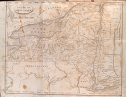
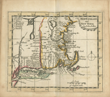
State of
New
-
York
for Spafford's gazetteer
use:
… partner (e.g.,
New
York
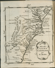
Nouvelle carte de la Caroline
use:
… partner (e.g.,
New
York
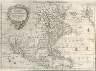
A
new
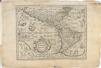
mapp of America Septentrionale
use:
… partner (e.g.,
New
York
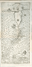
Nova Svecia
use:
… partner (e.g.,
New
York
… : including part of
New
Jersey,
New
York
, Staten
use:
… partner (e.g.,
New
York
Americae descrip.
use:
… partner (e.g.,
New
York
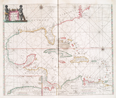
A
new
generall chart for the West
use:
… partner (e.g.,
New
York
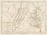
Carte de la Virginie, du Mary…
use:
… partner (e.g.,
New
York
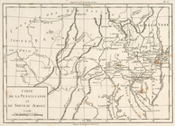
Carte de la Pensylvanie et du…
use:
… partner (e.g.,
New
York
… Nouvelle
York
:
y
-compris les terres cédées du
N
use:
… partner (e.g.,
New
York
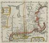
A
new
map of
New
England and
New
York
use:
… partner (e.g.,
New
York
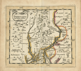
Pensilvania
use:
… partner (e.g.,
New
York
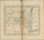
New
England and
New
York
use:
… partner (e.g.,
New
York
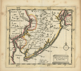
New
Iarsey
use:
… partner (e.g.,
New
York
Part of North America: compre…
use:
… partner (e.g.,
New
York
A chart of Delaware Bay and R…
use:
… partner (e.g.,
New
York
m
North America divided into it…
use:
… partner (e.g.,
New
York
m
…
York
,
New
Jersey
use:
… partner (e.g.,
New
York
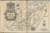
Delaware, from the best autho…
use:
… partner (e.g.,
New
York
Pascaerte van Westindien : de…
use:
… partner (e.g.,
New
York
America.
use:
… partner (e.g.,
New
York
New
England and
New
York
use:
… partner (e.g.,
New
York
New
York
use:
… partner (e.g.,
New
York
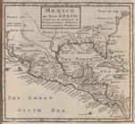
Mexico, or,
New
Spain : divided
use:
… partner (e.g.,
New
York
A map of
New
Jersey …
use:
… partner (e.g.,
New
York
Map of Virginia, Maryland and…
use:
… partner (e.g.,
New
York
… Nouvelle
York
:
y
-compris les terres cédées du
N
use:
… partner (e.g.,
New
York
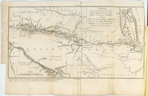
Carte de la route des lacs de…
use:
… partner (e.g.,
New
York
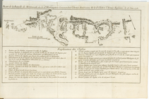
Plan de la Bataille de Montmo…
use:
… partner (e.g.,
New
York
A map of
New
England,
New
York
,
New
use:
… partner (e.g.,
New
York
Novum Amsterodamum.
use:
… partner (e.g.,
New
York
…. occident seu West
N
. Iersey
use:
… partner (e.g.,
New
York
Chart of Long Island Sound, 1…
use:
… partner (e.g.,
New
York
Entrance to
New
York
Bay from Sandy
use:
… partner (e.g.,
New
York
Nautical chart of Little Egg Harbour,
New
use:
… partner (e.g.,
New
York
The Bay and river of Delaware
use:
… partner (e.g.,
New
York
… in the chancery of
New
Jersey
use:
… partner (e.g.,
New
York
… in the chancery of
New
Jersey
use:
… partner (e.g.,
New
York
… in the chancery of
New
-Jersey
use:
… partner (e.g.,
New
York
The engagement on the White P…
use:
… partner (e.g.,
New
York
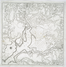
Plan of the position which th…
use:
… partner (e.g.,
New
York
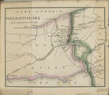
Falls of Niagara and adjacent…
use:
… partner (e.g.,
New
York
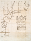
Territory of Columbia
use:
… partner (e.g.,
New
York
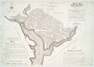
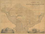
Plan of the city of Washingto…
use:
… partner (e.g.,
New
York
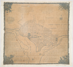
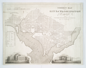
Plan of the city of Washingto…
use:
… partner (e.g.,
New
York
…. 38.53
n
., long. 0.0
use:
… partner (e.g.,
New
York
…. 38.53
n
., long. 0.0
use:
… partner (e.g.,
New
York
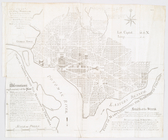
Plan of the city of Washingto…
use:
… partner (e.g.,
New
York
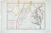
Carte de la Virginie, du Mary…
use:
… partner (e.g.,
New
York
A map of that part of America…
use:
… partner (e.g.,
New
York