Click to visit the main New York Public Library Homepage
The New York Public Library
Digital Collections
About Digital Collections
Browse
Search only public domain materials
Items
Collections
Divisions
Home
Search
Browse
About
Search only public domain materials
Items
Collections
Divisions
Digital Collections
Using Images
Using Data
Collections
Charting America: Maps from the Lawrence H. Slaughter Collection and Others
Charting America: Maps from the Lawrence H. Slaughter Collection and Others
Navigation
Filters
Charting America: Maps from the Lawrence H. Slaughter Collection and Others
Previous
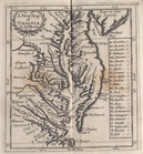
The south part of Virginia, now the north part of Carolina
0
Atlases, gazetteers, guidebooks and other books
377
Maps of the World
16
Maps of the Oceans
24
Maps of North and South America
23
Maps of North America.
551
Maps of New York City and State
1340
Lawrence H. Slaughter Collection of English maps, charts, globes, books and atlases
1020
John H. Levine Collection
60
More
Show filters
Hide filters
Show Only Public Domain
topic
x
Atlases, British
Geography, Ancient
37
Maps in education
37
Geography
15
Cosmography
2
More
Less
name
Sheldonian Theatre
37
Wells, Edward, 1667-1727
37
Dunn, Samuel, d. 1794
15
Sayer, Robert, 1725-1794
15
Morden, Robert, approximately 1650-1703
5
More
Less
collection
Lawrence H. Slaughter Collection of English maps, charts, globes, books and atlases
44
Atlases, gazetteers, guidebooks and other books
15
place
Maps
42
England
38
Caribbean Area
2
Chesapeake Bay Region (Md. and Va.) -- Maps -- Early works to 1800
2
New England -- Maps -- Early works to 1800
2
More
Less
genre
Maps
58
Tables of contents
1
publisher
Printed at the Theater,
37
Printed for Robert Sayer, No. 53, Fleet-Street
15
Sold by Robt. Morden at ye Atlas in Cornhill,
4
And sold by him [Herman Moll], over-against Devereux-Court, between Temple-Bar and St. Clements's-Church in the Strand,
1
Printed by A. Godbid and J. Playford, for John Seller ...,
1
More
Less
division
Map Division
59
type
cartographic
57
text
2
Date Range
to
59 results found for:
x
Niagara Canal (N.Y. : Proposed) -- Maps?tab=filter
Filtering on:
x
Topic
: Atlases, British
Sort by:
Relevance
Title
Date created
Date digitized
Sequence
A
map
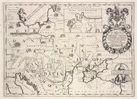
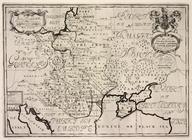
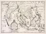
of Florida and ye Great Lakes
A new
map
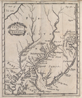
of Virginia
A new
map
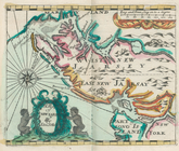
of New Jarsey and Pensilvania
A new
map
of New England and New York
note:
…., and covers
N.Y
. as far west
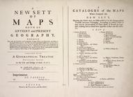
A new sett of
maps
both of antient
topic:
Maps
in education
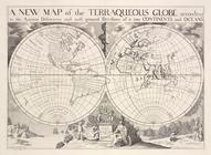
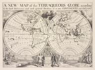
A new
map
of the terraqueous globe according
topic:
Maps
in education
A new
map
of the terraqueous globe according
topic:
Maps
in education
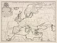
A new
map
of Europe according to its ancient
topic:
Maps
in education
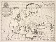
A new
map
of Europe according to the present
topic:
Maps
in education
A new
map
of Iberia Europæa alias Celtiberia
topic:
Maps
in education
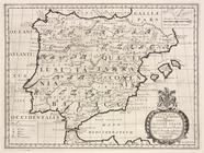
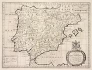
A new
map
of Ipresent Spain & Portugal
topic:
Maps
in education
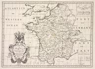
A new
map
of ancient Gaul or Gallia
topic:
Maps
in education
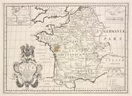
A new
map
of France, shewing its principal
topic:
Maps
in education
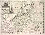
A new
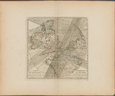
map
of the Netherlands or Low Countries
topic:
Maps
in education
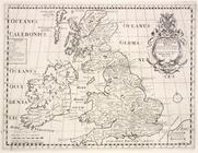
A new
map
of the British Isles, shewing
topic:
Maps
in education
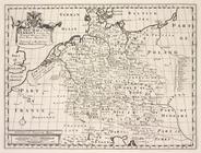
A new
map
of ancient Germany, Rhætia,…
topic:
Maps
in education
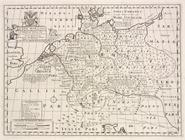
A new
map
of Germany, shewing its
topic:
Maps
in education
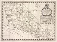
A new
map
of ancient Italy, together
topic:
Maps
in education
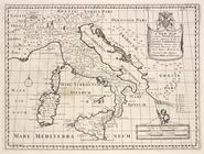
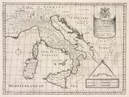
A new
map
of present Italy, together
topic:
Maps
in education
A new
map
of Gallia Cisalpina & Græcia Magna
topic:
Maps
in education
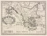
A new
map
of Latium, Etruria, and as much
topic:
Maps
in education
A new
map
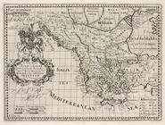
of ancient Greece Thrace
topic:
Maps
in education
A new
map
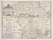
of Turky in Europe and parts
topic:
Maps
in education
A new
map
of ancient Thrace, as also
topic:
Maps
in education
A new
map
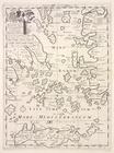
of the islands of the Ægean Sea
topic:
Maps
in education
A new
map
of Sarmatia Europæa, Pannonia
topic:
Maps
in education
A new
map
of present Poland, Hungary
topic:
Maps
in education
A new
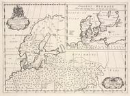
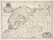
map
of ancient Scandinavia
topic:
Maps
in education
A new
map
of Denmark, Norway, Sweden
topic:
Maps
in education
A new
map
of Great
topic:
Maps
in education
A new
map
o East
topic:
Maps
in education
A new
map
of the western parts of Asia
topic:
Maps
in education
A new
map
shewing the travels of the patriarchs
topic:
Maps
in education
A new
map
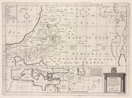
of the Land of Canaan and part
topic:
Maps
in education
A new
map
shewing all the severall
topic:
Maps
in education
A new
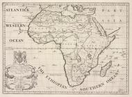
map
of Libya or old Africk shewing its
topic:
Maps
in education
A new
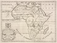
map
of Africk shewing its present
topic:
Maps
in education
A new
map
of the north part of antient
topic:
Maps
in education
A new
map
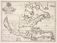
of North America shewing its
topic:
Maps
in education
A new
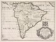
map
of South Ameerica, shewing its
topic:
Maps
in education
A new
map
of the most considerable
topic:
Maps
in education
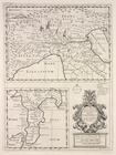
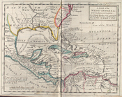
A
map
of the West-Indies &c
note:
… to Early
Maps
of the Middle
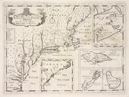
A
map
of New Iarsey
note:
… to Early
Maps
of the Middle
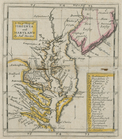
A new
map
of Virginia and Maryland
note:
… to Early
Maps
of the Middle
The contents of the
maps
in cosmography
A
map
exhibiting the dark shadow of the moon
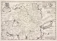
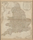
A new and compendious
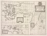
map
of England
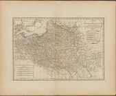
A new
map
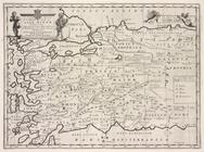
of the Kingdom of Poland with all
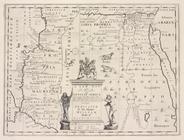
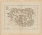
A
map
of Turkey in Asia, containing
note:
… of Jan[uar]
y
1788.
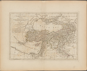
A
map
of independent Tartary