Click to visit the main New York Public Library Homepage
The New York Public Library
Digital Collections
About Digital Collections
Browse
Search only public domain materials
Items
Collections
Divisions
Home
Search
Browse
About
Search only public domain materials
Items
Collections
Divisions
Digital Collections
Using Images
Using Data
Collections
Charting America: Maps from the Lawrence H. Slaughter Collection and Others
Charting America: Maps from the Lawrence H. Slaughter Collection and Others
Navigation
Filters
Charting America: Maps from the Lawrence H. Slaughter Collection and Others
Previous
The south part of Virginia, now the north part of Carolina
0
Atlases, gazetteers, guidebooks and other books
377
Maps of the World
16
Maps of the Oceans
24
Maps of North and South America
23
Maps of North America.
551
Maps of New York City and State
1340
Lawrence H. Slaughter Collection of English maps, charts, globes, books and atlases
1020
John H. Levine Collection
60
More
Show filters
Hide filters
Show Only Public Domain
topic
Geography
450
Atlases
173
Atlases, British
106
Maps in education
96
Nautical charts
72
More
Less
name
Thornton, Samuel
174
Ortelius, Abraham, 1527-1598
124
Coignet, Michel, 1549-1623
123
Shawe, James
123
Society for the Diffusion of Useful Knowledge (Great Britain)
109
More
Less
collection
Lawrence H. Slaughter Collection of English maps, charts, globes, books and atlases
1101
Atlases, gazetteers, guidebooks and other books
458
Maps of New York City and State
1
place
Great Britain
231
United States
145
North America
113
Maps
108
England
102
More
Less
genre
Maps
1559
Nautical charts
175
Atlases
3
Illustrations
2
Facsimiles
1
More
Less
publisher
Printed for Ieames Shawe, and are to be solde at his shoppe nigh Ludgate,
123
Chapman and Hall
109
M. Carey
58
Published by Wm. Faden, geographer to His Majesty, and His R.H. the Prince of Wales
53
Printed by A. Godbid and J. Playford, for R. Scott, bookseller
52
More
Less
division
Map Division
1560
type
x
cartographic
text
46
still image
3
Date Range
to
1,560 results found for:
x
Atlases
Filtering on:
x
Type
: cartographic
Sort by:
Relevance
Title
Date created
Date digitized
Sequence
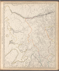
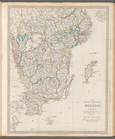
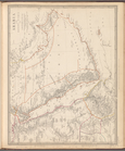
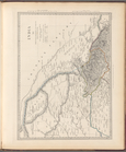
Russia in Europe, Part II
topic:
Atlases
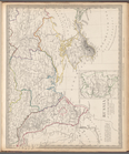
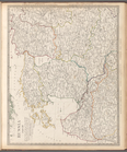
Russia in Europe, Part V
topic:
Atlases
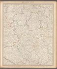
Russia in Europe, Part VIII
topic:
Atlases
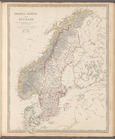
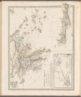
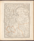
Sweden, Norway and Denmark
topic:
Atlases
Russia in Europe, Part VII
topic:
Atlases
Asia Minor
topic:
Atlases
Ancient Syria
topic:
Atlases
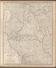
Russia, Part IV
topic:
Atlases
Ancient Greece: Southern part
topic:
Atlases
The southern provinces of Swe…
topic:
Atlases
Russia, Part III
topic:
Atlases
Russia in Europe, Part VI
topic:
Atlases
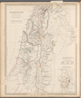
Palestine in the time of our …
topic:
Atlases
Turkey I: containing the nort…
topic:
Atlases
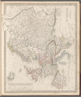
Asia
topic:
Atlases
Syria
topic:
Atlases
Arabia with Egypt, Nubia and …
topic:
Atlases
India VII
topic:
Atlases
India V
topic:
Atlases
India X
topic:
Atlases
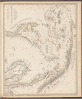
Eastern Siberia
topic:
Atlases
India II : Madras Presidency
topic:
Atlases
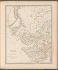
India: Bengal Presidency
topic:
Atlases
Siberia and Chinese Tartary
topic:
Atlases
Bokhara, Cabool, Beloochistan…
topic:
Atlases
India XII: Index map
topic:
Atlases
India I and Ceylon
topic:
Atlases
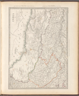
India III: Bombay Presidency
topic:
Atlases
India IV
topic:
Atlases
India VI
topic:
Atlases
Islands in the Indian Ocean
topic:
Atlases
India IX
topic:
Atlases
India XI
topic:
Atlases
Eastern Islands or Malay Arch…
topic:
Atlases
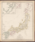
Empire of Japan
topic:
Atlases
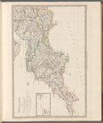
Europe
topic:
Atlases
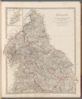
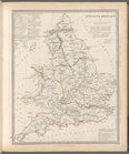
England I
topic:
Atlases
England IV
topic:
Atlases
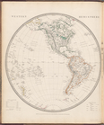
Western Hemisphere
topic:
Atlases
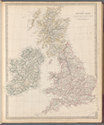
The British Isles
topic:
Atlases
England II
topic:
Atlases
England III
topic:
Atlases
England V
topic:
Atlases
Ancient Britain II
topic:
Atlases
Eastern Hemisphere
topic:
Atlases
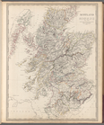
Scotland
topic:
Atlases
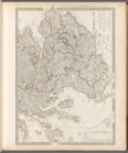
Scotland II
topic:
Atlases
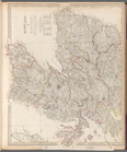
Scotland I
topic:
Atlases
Ancient Britain I
topic:
Atlases
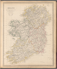
Ireland
topic:
Atlases
1
2
3
4
5
6
7
Previous
Next
1
2
3
4
5
6
7
Previous
Next