Click to visit the main New York Public Library Homepage
The New York Public Library
Digital Collections
About Digital Collections
Browse
Search only public domain materials
Items
Collections
Divisions
Home
Search
Browse
About
Search only public domain materials
Items
Collections
Divisions
Digital Collections
Using Images
Using Data
Collections
Charting America: Maps from the Lawrence H. Slaughter Collection and Others
Charting America: Maps from the Lawrence H. Slaughter Collection and Others
Navigation
Filters
Charting America: Maps from the Lawrence H. Slaughter Collection and Others
Previous
The south part of Virginia, now the north part of Carolina
0
Atlases, gazetteers, guidebooks and other books
377
Maps of the World
16
Maps of the Oceans
24
Maps of North and South America
23
Maps of North America.
551
Maps of New York City and State
1340
Lawrence H. Slaughter Collection of English maps, charts, globes, books and atlases
1020
John H. Levine Collection
60
More
Show filters
Hide filters
Show Only Public Domain
topic
Administrative and political divisions
6
Geography
5
History
2
Ponds
2
Steam-navigation
2
More
Less
name
Hooker, William
4
Childe, Timothy
3
Falconer, Robert, active 1700
3
Luyts, Jan, 1655-1721
3
Moll, Herman, -1732
3
More
Less
collection
Maps of New York City and State
12
Lawrence H. Slaughter Collection of English maps, charts, globes, books and atlases
7
place
New York (N.Y.)
7
Manhattan (New York, N.Y.) -- Maps
5
New York (State)
5
Manhattan (New York, N.Y.)
4
New York
4
More
Less
genre
Maps
15
Title pages
4
Posters
1
publisher
Printed for Timothy Childe at the White Hart at the West-end of St. Paul's Church-yard
3
W. Hooker
3
W. Hooker,
2
E.B. Spooner, Printer to City Corporation, No. 57 Fulton Street,
1
Johannis Cloppenburgh
1
More
Less
division
Map Division
17
type
x
text
cartographic
12
Date Range
to
19 results found for:
x
Middle Atlantic States?tab=filter
Filtering on:
x
Type
: text
Sort by:
Relevance
Title
Date created
Date digitized
Sequence
m
…
states
which belong
note:
… to Early Maps of the
Middle
Atlantic
Seaboard.
…, kingdoms and
states
...
note:
… to Early Maps of the
Middle
Atlantic
Seaboard.
…, kingdoms and
states
...
note:
… to Early Maps of the
Middle
Atlantic
Seaboard.
…, kingdoms and
states
...
note:
… to Early Maps of the
Middle
Atlantic
Seaboard.
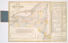
The tourist's map of the
state
of New York
note:
… to Early Maps of the
Middle
Atlantic
Seaboard.
The American geography ... , …
note:
… to Early Maps of the
Middle
Atlantic
Seaboard.
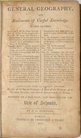
General geography, and rudime…
note:
… to Early Maps of the
Middle
Atlantic
Seaboard.
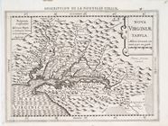
Nova Virginiae tabvla
note:
… to Early Maps of the
Middle
Atlantic
Seaboard.
… in the United
States
from each
note:
… the United
States
.
Report of the Street Committe…
note:
… to Early Maps of the
Middle
Atlantic
Seaboard.
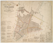
City of New-York
note:
… to Early Maps of the
Middle
Atlantic
Seaboard.
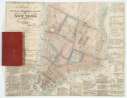
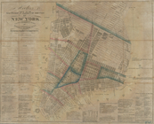
Hooker's new pocket plan of t…
note:
…, of the
state
of N. York."…
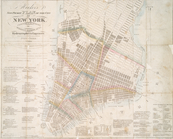
Hooker's new pocket plan of t…
note:
… of the
state
of N. York."…
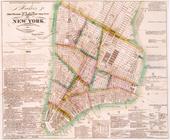
Hooker's new pocket plan of t…
note:
…, of the
state
of N. York."…
m
Hooker's new pocket plan of t…
note:
… to Early Maps of the
Middle
Atlantic
Seaboard.
Hooker's new pocket plan of t…
note:
… to Early Maps of the
Middle
Atlantic
Seaboard.
Map of lands in the city of N…
note:
… to Early Maps of the
Middle
Atlantic
Seaboard.
A view of Collect Pond and it…
note:
… to Early Maps of the
Middle
Atlantic
Seaboard.
A view of Collect Pond and it…
note:
… to Early Maps of the
Middle
Atlantic
Seaboard.
End of results
|
Top