Click to visit the main New York Public Library Homepage
The New York Public Library
Digital Collections
About Digital Collections
Browse
Search only public domain materials
Items
Collections
Divisions
Home
Search
Browse
About
Search only public domain materials
Items
Collections
Divisions
Digital Collections
Using Images
Using Data
Collections
Charting America: Maps from the Lawrence H. Slaughter Collection and Others
Charting America: Maps from the Lawrence H. Slaughter Collection and Others
Navigation
Filters
Charting America: Maps from the Lawrence H. Slaughter Collection and Others
Previous
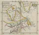
The south part of Virginia, now the north part of Carolina
0
Atlases, gazetteers, guidebooks and other books
377
Maps of the World
16
Maps of the Oceans
24
Maps of North and South America
23
Maps of North America.
551
Maps of New York City and State
1340
Lawrence H. Slaughter Collection of English maps, charts, globes, books and atlases
1020
John H. Levine Collection
60
More
Show filters
Hide filters
Show Only Public Domain
topic
Geography
262
Nautical charts
82
Administrative and political divisions
58
Mathematics
57
Astronomy, 1681
55
More
Less
name
Ortelius, Abraham, 1527-1598
130
Coignet, Michel, 1549-1623
126
Shawe, James
126
Moll, Herman, -1732
95
Flamsteed, John, 1646-1719
55
More
Less
collection
Lawrence H. Slaughter Collection of English maps, charts, globes, books and atlases
749
Maps of New York City and State
263
John H. Levine Collection
47
Maps of the Oceans
17
Maps of North and South America
15
More
Less
place
New York (N.Y.)
161
New York (State)
144
United States
139
Maps
105
North America
96
More
Less
genre
Maps
1097
Early maps
11
Facsimiles
11
Title pages
7
Early works to 1800
6
More
Less
publisher
Printed for Ieames Shawe, and are to be solde at his shoppe nigh Ludgate,
126
Printed by A. Godbid and J. Playford, for R. Scott, bookseller
55
Printed for Timothy Childe at the White Hart at the West-end of St. Paul's Church-yard
47
s.n
36
... Sold ... by Tho. Bowles, print and map-seller in St. Paul's-Churchyard
32
More
Less
division
Map Division
1109
type
cartographic
1079
text
31
still image
18
Date Range
to
1,111 results found for:
Early maps?tab=filter
Sort by:
Relevance
Title
Date created
Date digitized
Sequence
Results 251 - 300
…, ou a most exact
map
note:
… to
Early
Maps
of the Middle
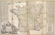
A new and exact
map
of France divided into all
note:
… to
Early
Maps
of the Middle
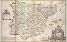
A new & exact
map
of Spain and Portugal
note:
… to
Early
Maps
of the Middle
A new
map
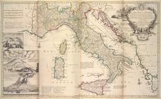
of Italy, distinguishing all
note:
… to
Early
Maps
of the Middle
A new
map
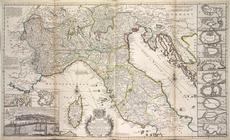
of the upper part of Italy
note:
… to
Early
Maps
of the Middle
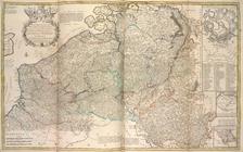
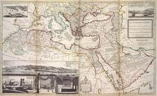
The Turkish Empire in Europe,…
note:
… to
Early
Maps
of the Middle
An historical
map
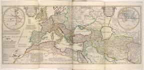
of Roman Empire
note:
… to
Early
Maps
of the Middle
m
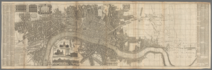
London surveyed or a new
map
of the cities
note:
… to
Early
Maps
of the Middle
Geography epitomiz'd.
note:
… to
Early
Maps
of the Middle
Neueste Karte von New York : …
note:
… to
Early
Maps
of the Middle
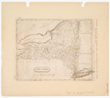
New York
note:
… to
Early
Maps
of the Middle
New York
note:
… to
Early
Maps
of the Middle
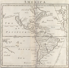
America.
note:
… to
Early
Maps
of the Middle
New York
note:
… to
Early
Maps
of the Middle
Frontispiece
note:
… to
Early
Maps
of the Middle
Title page
note:
… to
Early
Maps
of the Middle
A mapp of the world
image:
ps_
map
_173
m
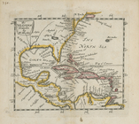
A chart of the West Indias fr…
note:
… to
Early
Maps
of the Middle
m
A chart of the West Indias fr…
note:
… to
Early
Maps
of the Middle
A chart of the sea coasts of …
note:
… to
Early
Maps
of the Middle
A
map
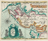
of New Iarsey
note:
… to
Early
Maps
of the Middle
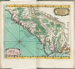
Carolina newly discribed
note:
… to
Early
Maps
of the Middle
New York
note:
… to
Early
Maps
of the Middle
The Western Ilands
note:
… to
Early
Maps
of the Middle
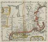
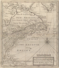
New England and New York
note:
… to
Early
Maps
of the Middle
America
note:
… to
Early
Maps
of the Middle
The north west part of America
note:
… to
Early
Maps
of the Middle
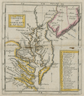
A new
map
of Virginia and Maryland
note:
… to
Early
Maps
of the Middle
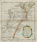
Carolina, Virginia, Mary Land…
note:
… to
Early
Maps
of the Middle
New York
note:
… to
Early
Maps
of the Middle
America
note:
… to
Early
Maps
of the Middle
The English empire in America…
note:
… to
Early
Maps
of the Middle
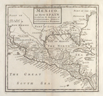
Mexico, or, New Spain : divid…
note:
… to
Early
Maps
of the Middle
New-York
note:
… to
Early
Maps
of the Middle
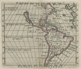
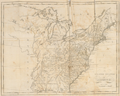
The United States of America
note:
… to
Early
Maps
of the Middle
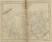
Pennsylvania
note:
… to
Early
Maps
of the Middle
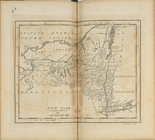
New York
note:
… to
Early
Maps
of the Middle
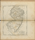
New Jersey
note:
… to
Early
Maps
of the Middle
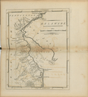
Delaware
note:
… to
Early
Maps
of the Middle
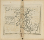
Maryland
note:
… to
Early
Maps
of the Middle
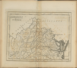
Virginia
note:
… to
Early
Maps
of the Middle
New-York
note:
… to
Early
Maps
of the Middle
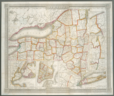
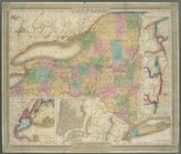
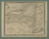
State of New York
note:
… to
Early
Maps
of the Middle
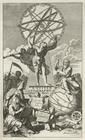
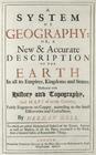
A system of geography with new
maps
note:
… to
Early
Maps
of the Middle
A system of geography, or, A…
note:
… to
Early
Maps
of the Middle
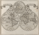
Map
of the world.
note:
… to
Early
Maps
of the Middle
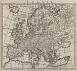
Europe.
note:
… to
Early
Maps
of the Middle
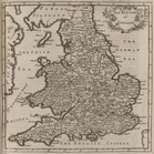
Britain.
note:
… to
Early
Maps
of the Middle
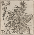
Scotland.
note:
… to
Early
Maps
of the Middle
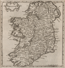
Ireland.
note:
… to
Early
Maps
of the Middle
1
2
3
4
5
Previous
Next
1
2
3
4
5
Previous
Next