Click to visit the main New York Public Library Homepage
The New York Public Library
Digital Collections
About Digital Collections
Browse
Search only public domain materials
Items
Collections
Divisions
Home
Search
Browse
About
Search only public domain materials
Items
Collections
Divisions
Digital Collections
Using Images
Using Data
Collections
Charting America: Maps from the Lawrence H. Slaughter Collection and Others
Charting America: Maps from the Lawrence H. Slaughter Collection and Others
Navigation
Filters
Charting America: Maps from the Lawrence H. Slaughter Collection and Others
Previous
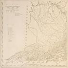
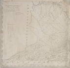
The south part of Virginia, now the north part of Carolina
0
Atlases, gazetteers, guidebooks and other books
377
Maps of the World
16
Maps of the Oceans
24
Maps of North and South America
23
Maps of North America.
551
Maps of New York City and State
1340
Lawrence H. Slaughter Collection of English maps, charts, globes, books and atlases
1020
John H. Levine Collection
60
More
Show filters
Hide filters
Show Only Public Domain
topic
Geography
262
Nautical charts
82
Administrative and political divisions
58
Mathematics
57
Astronomy, 1681
55
More
Less
name
Ortelius, Abraham, 1527-1598
130
Coignet, Michel, 1549-1623
126
Shawe, James
126
Moll, Herman, -1732
95
Flamsteed, John, 1646-1719
55
More
Less
collection
Lawrence H. Slaughter Collection of English maps, charts, globes, books and atlases
749
Maps of New York City and State
263
John H. Levine Collection
47
Maps of the Oceans
17
Maps of North and South America
15
More
Less
place
New York (N.Y.)
161
New York (State)
144
United States
139
Maps
105
North America
96
More
Less
genre
Maps
1097
Early maps
11
Facsimiles
11
Title pages
7
Early works to 1800
6
More
Less
publisher
Printed for Ieames Shawe, and are to be solde at his shoppe nigh Ludgate,
126
Printed by A. Godbid and J. Playford, for R. Scott, bookseller
55
Printed for Timothy Childe at the White Hart at the West-end of St. Paul's Church-yard
47
s.n
36
... Sold ... by Tho. Bowles, print and map-seller in St. Paul's-Churchyard
32
More
Less
division
Map Division
1109
type
cartographic
1079
text
31
still image
18
Date Range
to
1,111 results found for:
Early maps?tab=filter
Sort by:
Relevance
Title
Date created
Date digitized
Sequence
Results 251 - 300
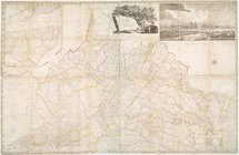
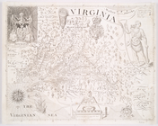
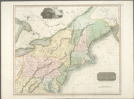
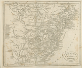
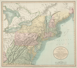
Virginia
note:
… to
Early
Maps
of the Middle
New York
note:
… to
Early
Maps
of the Middle
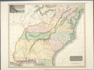
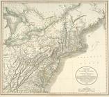
United States of America
note:
… to
Early
Maps
of the Middle
m
A
map
of Virginia : formed from actual
note:
… to
Early
Maps
of the Middle
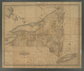
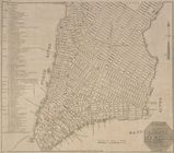
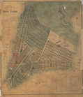
The state of New York : with …
note:
… to
Early
Maps
of the Middle
m
Map
of the city of Albany
note:
… to
Early
Maps
of the Middle
New York and adjacent country.
note:
… to
Early
Maps
of the Middle
Philadelphia and adjacent cou…
note:
… to
Early
Maps
of the Middle
Baltimore, Annapolis, and adj…
note:
… to
Early
Maps
of the Middle
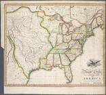
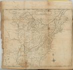
United States of America.
note:
Phillips. List of
maps
of America, p. 880
m
A
map
of Virginia : formed from actual
note:
… to
Early
Maps
of the Middle
The state of New York : with …
note:
… to
Early
Maps
of the Middle
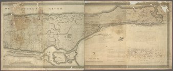
The course of the River St. L…
note:
… to
Early
Maps
of the Middle
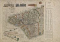
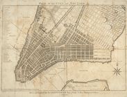
Plan of the city of New-York …
note:
… to
Early
Maps
of the Middle
Northern provinces of the Uni…
note:
… to
Early
Maps
of the Middle
Southern provinces of the Uni…
note:
… to
Early
Maps
of the Middle
Plan of the city of New-York
note:
… to
Early
Maps
of the Middle
This actual
map
and comparative plans showing 88
note:
… to
Early
Maps
of the Middle
Plan of the city of New-York …
note:
… to
Early
Maps
of the Middle
Plan des forts, batteries et …
note:
… to
Early
Maps
of the Middle
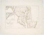
Maryland.
note:
… to
Early
Maps
of the Middle
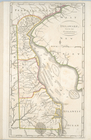
Delaware, from the best autho…
note:
… to
Early
Maps
of the Middle
State of New-York for Spaffor…
note:
… to
Early
Maps
of the Middle
Map
of the country thirty miles round
note:
… to
Early
Maps
of the Middle
United States of Nth. America…
note:
… to
Early
Maps
of the Middle
New York
note:
… to
Early
Maps
of the Middle
States of America, from the b…
note:
… to
Early
Maps
of the Middle
m
Map
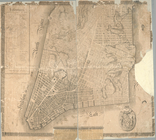
of the city of New York and island
note:
… to
Early
Maps
of the Middle
Western New York in 1809
note:
… to
Early
Maps
of the Middle
United States or Fredon
note:
… to
Early
Maps
of the Middle
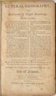
General geography, and rudime…
note:
… to
Early
Maps
of the Middle
Plan of the city of New York
note:
… to
Early
Maps
of the Middle
A
map
of the state of New York : compiled
note:
… to
Early
Maps
of the Middle
m
A
map
of Virginia : formed from actual
note:
… to
Early
Maps
of the Middle
A plan of the country from Fr…
note:
… to
Early
Maps
of the Middle
A plan of New York Island, pa…
note:
… to
Early
Maps
of the Middle
Île de New-York, partie de Lo…
note:
… to
Early
Maps
of the Middle
Plan of the city of New-York …
note:
… to
Early
Maps
of the Middle
North America from the best a…
note:
… to
Early
Maps
of the Middle
A plan of New York Island, pa…
note:
… to
Early
Maps
of the Middle
A new
map
of part of the United States of North
note:
… to
Early
Maps
of the Middle
A new
map
of part of the United States of North
note:
… to
Early
Maps
of the Middle
Map
of America
note:
… to
Early
Maps
of the Middle
Map
of a tract of land called the Nyack
note:
… to
Early
Maps
of the Middle
A
map
of the State of New York
note:
… to
Early
Maps
of the Middle
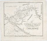
The bay and river of Delaware
note:
… to
Early
Maps
of the Middle
Map
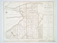
of Morris's Purchase or West Geneseo
note:
… to
Early
Maps
of the Middle
Plan of the city of New-York
note:
… to
Early
Maps
of the Middle
Plan of the city of New York
note:
… to
Early
Maps
of the Middle
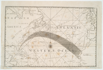
[A Chart of the Atlantic or W…
note:
… to
Early
Maps
of the Middle
1
2
3
4
5
Previous
Next
1
2
3
4
5
Previous
Next