Click to visit the main New York Public Library Homepage
The New York Public Library
Digital Collections
About Digital Collections
Browse
Search only public domain materials
Items
Collections
Divisions
Home
Search
Browse
About
Search only public domain materials
Items
Collections
Divisions
Digital Collections
Using Images
Using Data
Collections
Charting America: Maps from the Lawrence H. Slaughter Collection and Others
Charting America: Maps from the Lawrence H. Slaughter Collection and Others
Navigation
Filters
Charting America: Maps from the Lawrence H. Slaughter Collection and Others
Previous
The south part of Virginia, now the north part of Carolina
0
Atlases, gazetteers, guidebooks and other books
377
Maps of the World
16
Maps of the Oceans
24
Maps of North and South America
23
Maps of North America.
551
Maps of New York City and State
1340
Lawrence H. Slaughter Collection of English maps, charts, globes, books and atlases
1020
John H. Levine Collection
60
More
Show filters
Hide filters
Show Only Public Domain
topic
Geography
516
Atlases
178
Atlases, British
128
Maps in education
104
Historical geography
77
More
Less
name
Coignet, Michel, 1549-1623
126
Ortelius, Abraham, 1527-1598
126
Shawe, James
126
Society for the Diffusion of Useful Knowledge (Great Britain)
115
J. & C. Walker (Firm)
104
More
Less
collection
Lawrence H. Slaughter Collection of English maps, charts, globes, books and atlases
594
Atlases, gazetteers, guidebooks and other books
89
Maps of New York City and State
24
Maps of the World
6
John H. Levine Collection
2
More
Less
place
Great Britain
239
England
106
Maps
56
United States
29
New York (State)
23
More
Less
genre
Maps
650
preliminaries
24
Title pages
10
Book covers
6
Charts
5
More
Less
publisher
Printed for Ieames Shawe, and are to be solde at his shoppe nigh Ludgate,
126
Chapman and Hall
115
Printed for Robert Sayer, No. 53, Fleet-Street
76
Published by Wm. Faden, geographer to His Majesty, and His R.H. the Prince of Wales
58
Printed for John Cary
57
More
Less
division
Map Division
715
type
cartographic
639
text
109
still image
18
Date Range
to
717 results found for:
Geography?tab=filter
Sort by:
Relevance
Title
Date created
Date digitized
Sequence
Results 501 - 550
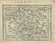
Germania.
topic:
Geography
Gallia Belgica.
topic:
Geography
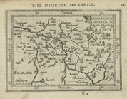
Leodiensis Episcopatus.
topic:
Geography
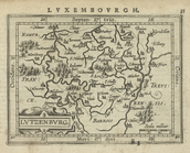
Lutzenburg.
topic:
Geography
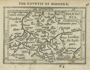
Hannonia.
topic:
Geography
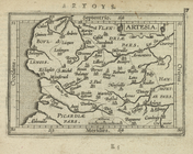
Artesia.
topic:
Geography
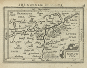
Namurcum.
topic:
Geography
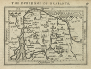
Brabantia.
topic:
Geography
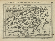
Flandria.
topic:
Geography
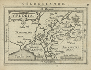
Geldria.
topic:
Geography
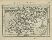
Zelandia.
topic:
Geography
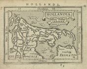
Hollandia.
topic:
Geography
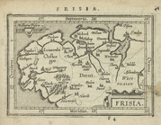
Frisia.
topic:
Geography
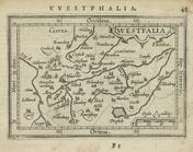
Westfalia.
topic:
Geography
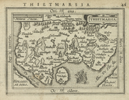
Thietmarsia.
topic:
Geography
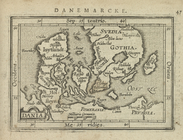
Dania.
topic:
Geography
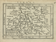
Saxonia, Thuringia, Misnia.
topic:
Geography
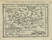
Brandeburgens.
topic:
Geography
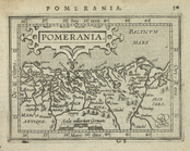
Pomerania.
topic:
Geography
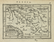
Silesiae Typus.
topic:
Geography
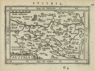
Austria.
topic:
Geography
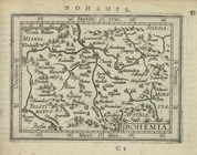
Bohemia.
topic:
Geography
Salisburgensis Archiepiscopat…
topic:
Geography
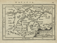
Bavaria.
topic:
Geography
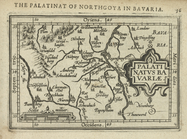
Palatinatus Bavariae.
topic:
Geography
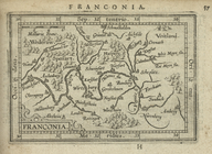
Franconia.
topic:
Geography
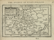
Wirtenberg. Duc.
topic:
Geography
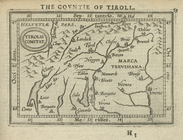
Tirolis Comitat.
topic:
Geography
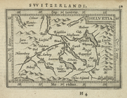
Helvetia.
topic:
Geography
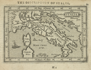
Italia.
topic:
Geography
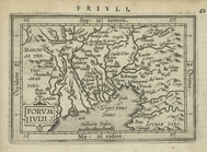
Forumiulii.
topic:
Geography
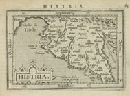
Histria.
topic:
Geography
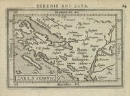
Zara, & Sebenic.
topic:
Geography
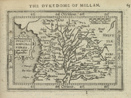
Ducatus Mediolanensis.
topic:
Geography
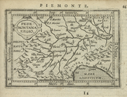
Pedemontana Regio.
topic:
Geography
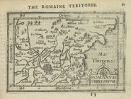
Romanum Teritorium.
topic:
Geography
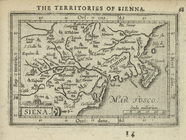
Siena.
topic:
Geography
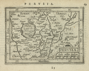
Perusia.
topic:
Geography
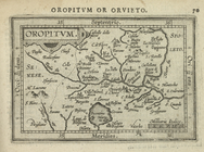
Oropitum.
topic:
Geography
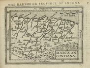
Marca Anconitana.
topic:
Geography
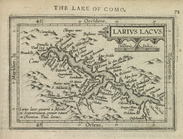
Larius Lacus.
topic:
Geography
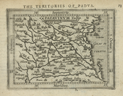
Patavinum Ter.
topic:
Geography
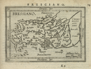
Bressiano.
topic:
Geography
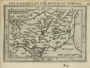
Veronensis Ager.
topic:
Geography
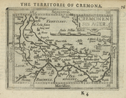
Cremonensis Ager.
topic:
Geography
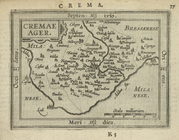
Cremae Ager.
topic:
Geography
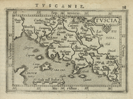
Tuscia.
topic:
Geography
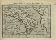
Typus Regni Neapolitani.
topic:
Geography
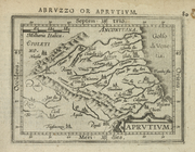
Aprutium.
topic:
Geography
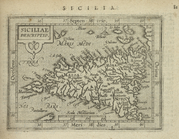
Siciliae descriptio.
topic:
Geography
1
2
3
Previous
Next
1
2
3
Previous
Next