Click to visit the main New York Public Library Homepage
The New York Public Library
Digital Collections
About Digital Collections
Browse
Search only public domain materials
Items
Collections
Divisions
Home
Search
Browse
About
Search only public domain materials
Items
Collections
Divisions
Digital Collections
Using Images
Using Data
Collections
Charting America: Maps from the Lawrence H. Slaughter Collection and Others
Charting America: Maps from the Lawrence H. Slaughter Collection and Others
Navigation
Filters
Charting America: Maps from the Lawrence H. Slaughter Collection and Others
Previous
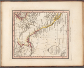
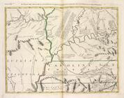
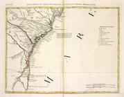
The south part of Virginia, now the north part of Carolina
0
Atlases, gazetteers, guidebooks and other books
377
Maps of the World
16
Maps of the Oceans
24
Maps of North and South America
23
Maps of North America.
551
Maps of New York City and State
1340
Lawrence H. Slaughter Collection of English maps, charts, globes, books and atlases
1020
John H. Levine Collection
60
More
Show filters
Hide filters
Show Only Public Domain
topic
Geography
516
Administrative and political divisions
340
Railroads
317
Real property
302
Landowners
216
More
Less
name
Thornton, Samuel
182
Ortelius, Abraham, 1527-1598
130
Coignet, Michel, 1549-1623
126
Shawe, James
126
Montanus, Arnoldus, 1625?-1683
118
More
Less
collection
Maps of New York City and State
2004
Lawrence H. Slaughter Collection of English maps, charts, globes, books and atlases
1252
Atlases, gazetteers, guidebooks and other books
543
John H. Levine Collection
60
Maps of North and South America
40
More
Less
place
New York (State)
1295
New York (N.Y.)
652
New York
524
Manhattan (New York, N.Y.)
347
Brooklyn (New York, N.Y.)
266
More
Less
genre
Maps
3810
Nautical charts
187
Cadastral maps
183
Manuscript maps
71
Aerial views
30
More
Less
publisher
Printed for Ieames Shawe, and are to be solde at his shoppe nigh Ludgate,
126
publisher not identified
119
Printed by the author, and are to be had at his house
116
Chapman and Hall
115
S. A. Mitchell, jr
79
More
Less
division
Map Division
3930
Manuscripts and Archives Division
2
type
cartographic
3687
text
191
still image
161
Date Range
to
3,936 results found for:
Maps?tab=filter
Sort by:
Relevance
Title
Date created
Date digitized
Sequence
Results 501 - 550
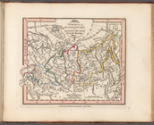
… from the Russian
maps
topic:
Maps
in education
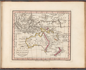
New Holland, with the adjacen…
topic:
Maps
in education
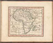
Africa according to the lates…
topic:
Maps
in education
Barbary including Morocco Alg…
topic:
Maps
in education
Nigritia and Guinea; with the…
topic:
Maps
in education
North America, including the …
topic:
Maps
in education
British possessions in North …
topic:
Maps
in education
Western Coast of North Americ…
topic:
Maps
in education
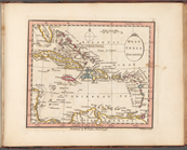
West India Islands
topic:
Maps
in education
South America from the latest…
topic:
Maps
in education
Nea-Polynesia, or the islands…
topic:
Maps
in education
m
Atlas minimus universalis...…
topic:
Maps
in education
m
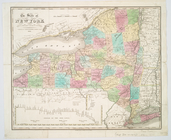
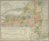
The state of New York : with …
note:
… to Early
Maps
of the Middle
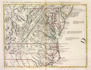
North America from the French…
note:
Copy in
Map
Div. 97-6220: Lawrence H
The state of New York : with …
note:
Copy in
Map
Div. 01-1891 on 2 sheets, each
Le colonie unite dell' Americ…
note:
… to Early
Maps
of the Middle
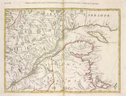
Il paese de' Selvaggi Outauac…
note:
… to Early
Maps
of the Middle
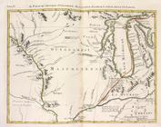
La parte Occidentale della Nu…
note:
… to Early
Maps
of the Middle
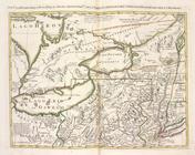
Parte Orientale del Canada, N…
note:
… to Early
Maps
of the Middle
Il paese de' Selvaggi Outagam…
note:
… to Early
Maps
of the Middle
La Pensilvania, la Nuova York…
note:
… to Early
Maps
of the Middle
L'Acadia, le Provincie di Sag…
note:
… to Early
Maps
of the Middle
Il paese de'Cherachesi, con l…
note:
… to Early
Maps
of the Middle
Il Maryland, il Jersey Meridi…
note:
… to Early
Maps
of the Middle
La Giammaica.
note:
… to Early
Maps
of the Middle
Luigiana Inglese, colla parte…
note:
… to Early
Maps
of the Middle
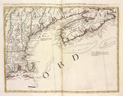
Parte Orientale della Florida…
note:
… to Early
Maps
of the Middle
The state of New York : with …
note:
Creek, A.
Maps
of the Genesee Valley & Finger
America.
note:
Final
map
mounted on paper to form final leaf
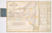
The state of New York from th…
note:
… to Early
Maps
of the Middle
The state of New York from th…
collection:
Maps
of New York City and State
The tourist's
map
of the state of New York
note:
… to Early
Maps
of the Middle
Added title page, vol. 1
note:
… to Early
Maps
of the Middle
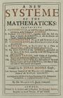
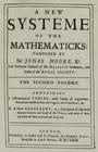
A new systeme of the mathema…
note:
… to Early
Maps
of the Middle
A new systeme of the mathemat…
note:
… to Early
Maps
of the Middle
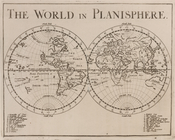
The world in planisphere.
note:
… to Early
Maps
of the Middle
Africa, Europe and Asia.
note:
… to Early
Maps
of the Middle
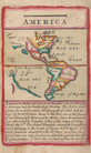
America.
note:
… to Early
Maps
of the Middle
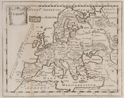
Europe.
note:
… to Early
Maps
of the Middle
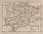
Spaine.
note:
… to Early
Maps
of the Middle
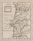
Portugall.
note:
… to Early
Maps
of the Middle
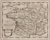
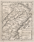
France.
note:
… to Early
Maps
of the Middle
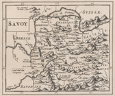
Savoy.
note:
… to Early
Maps
of the Middle
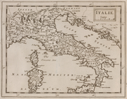
Italie.
note:
… to Early
Maps
of the Middle
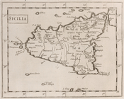
Sicilia.
note:
… to Early
Maps
of the Middle
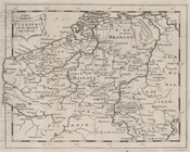
Flanders or the Spanish Provi…
note:
… to Early
Maps
of the Middle
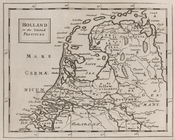
Holland or the United Provinc…
note:
… to Early
Maps
of the Middle
Germany.
note:
… to Early
Maps
of the Middle
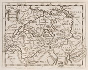
Helvetia, or Swisserland.
note:
… to Early
Maps
of the Middle
Franche Connty.
note:
… to Early
Maps
of the Middle
1
2
3
4
5
6
7
8
9
10
…
15
16
Previous
Next
1
2
3
4
5
6
7
8
9
10
…
15
16
Previous
Next