Click to visit the main New York Public Library Homepage
The New York Public Library
Digital Collections
About Digital Collections
Browse
Search only public domain materials
Items
Collections
Divisions
Home
Search
Browse
About
Search only public domain materials
Items
Collections
Divisions
Digital Collections
Using Images
Using Data
Collections
Charting America: Maps from the Lawrence H. Slaughter Collection and Others
Charting America: Maps from the Lawrence H. Slaughter Collection and Others
Navigation
Filters
Charting America: Maps from the Lawrence H. Slaughter Collection and Others
Previous
More
Show filters
Hide filters
Show Only Public Domain
topic
Geography
516
Administrative and political divisions
340
Railroads
317
Real property
302
Landowners
216
More
Less
name
Thornton, Samuel
182
Ortelius, Abraham, 1527-1598
130
Coignet, Michel, 1549-1623
126
Shawe, James
126
Montanus, Arnoldus, 1625?-1683
118
More
Less
collection
Maps of New York City and State
2004
Lawrence H. Slaughter Collection of English maps, charts, globes, books and atlases
1252
Atlases, gazetteers, guidebooks and other books
543
John H. Levine Collection
60
Maps of North and South America
40
More
Less
place
New York (State)
1295
New York (N.Y.)
652
New York
524
Manhattan (New York, N.Y.)
347
Brooklyn (New York, N.Y.)
266
More
Less
genre
Maps
3810
Nautical charts
187
Cadastral maps
183
Manuscript maps
71
Aerial views
30
More
Less
publisher
Printed for Ieames Shawe, and are to be solde at his shoppe nigh Ludgate,
126
publisher not identified
119
Printed by the author, and are to be had at his house
116
Chapman and Hall
115
S. A. Mitchell, jr
79
More
Less
division
Map Division
3930
Manuscripts and Archives Division
2
type
cartographic
3687
text
191
still image
161
Date Range
to
3,936 results found
Sort by:
Title
Date created
Date digitized
Sequence
Results 3251 - 3300
m
[3 maps of New York and vicin…
Map of the City of New York. …
Map of New York City showing …
[Three maps on one sheet] One…
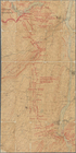
Map of Kings and part of Quee…
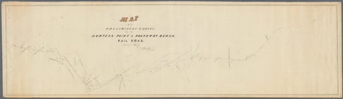
Map of a preliminary survey f…
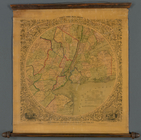
Map of the country thirty thr…
Map of Garden City, Queens Co…
m
Map of Long Island and the so…
The Century atlas, New York, …
m
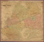
New map of Kings and Queens c…
m
Map of Kings and part of Quee…
m
Map of upper New York City an…
Topographical map of New York…
m
Shell street guide of Brookly…
m
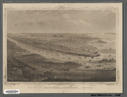
Vicinity of New York
m
Watson's new map of New York,…
Map of New York City and vici…
m
Map of the City of New York a…
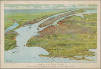
Greater New York : birdseye v…
m
Topographical map of New York…
m
Watson's new map of New York …
m
Watson's new map of New York …
New York and environs : desig…
m
Map of the metropolitan distr…
Map of New York City : showin…
m
Map of the Passaic and Croton…
Colton's New York City, Brook…
Map showing the proposed area…
m
Rand McNally & Co.'s road map…
Bridgman's new map of the Cit…
m
Driving road chart of the cou…
m
Bridgman's map of the suburbs…
Proposed site on Staten Islan…
New York and environs : desig…
m
Robinson's map of New York Ci…
Map of the country thirty-thr…
Map of the country thirty-thr…
Map of the country thirty-thr…
New York City and environs : …
New map of the great metropol…
New-York and vicinity as prop…
Map of the country thirty thr…
Map of New York and vicinity …
Map of the country thirty thr…
Map of the country thirty thr…
Map showing location of lands…
Map of the country thirty thr…
Map showing the present dista…
m
The surroundings of New York …
1
2
…
7
8
9
10
11
12
13
14
15
16
Previous
Next
1
2
…
7
8
9
10
11
12
13
14
15
16
Previous
Next