Click to visit the main New York Public Library Homepage
The New York Public Library
Digital Collections
About Digital Collections
Browse
Search only public domain materials
Items
Collections
Divisions
Home
Search
Browse
About
Search only public domain materials
Items
Collections
Divisions
Digital Collections
Using Images
Using Data
Collections
Charting America: Maps from the Lawrence H. Slaughter Collection and Others
Charting America: Maps from the Lawrence H. Slaughter Collection and Others
Navigation
Filters
Charting America: Maps from the Lawrence H. Slaughter Collection and Others
Previous
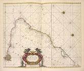
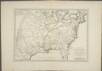
The south part of Virginia, now the north part of Carolina
0
Atlases, gazetteers, guidebooks and other books
377
Maps of the World
16
Maps of the Oceans
24
Maps of North and South America
23
Maps of North America.
551
Maps of New York City and State
1340
Lawrence H. Slaughter Collection of English maps, charts, globes, books and atlases
1020
John H. Levine Collection
60
More
Show filters
Hide filters
Show Only Public Domain
topic
Nautical charts
36
World maps
6
Magnetic declination
5
Trade routes
4
Trade winds
4
More
Less
name
Thornton, Samuel
14
Goos, Pieter, approximately 1616-1675
9
Bellin, Jacques Nicolas, 1703-1772
5
Halley, Edmond, 1656-1742
4
Seller, Jeremiah
4
More
Less
collection
Lawrence H. Slaughter Collection of English maps, charts, globes, books and atlases
42
Atlases, gazetteers, guidebooks and other books
25
Maps of the Oceans
17
John H. Levine Collection
5
Maps of the World
4
More
Less
place
Atlantic Ocean
55
North Atlantic Ocean
31
Maps
18
Early works to 1800
10
North Atlantic Ocean -- Maps -- Early works to 1800
10
More
Less
genre
Maps
98
Nautical charts
14
Manuscript maps
1
publisher
P. Goos
9
Depost des cartes, plans et journaux de la marine
2
Published ... by W. Heather at the Navigation Warehouse, No. 157 Leadenhall Street,
2
The Society,
2
William C. Woodbridge
2
More
Less
division
Map Division
98
type
cartographic
98
text
1
Date Range
to
98 results found for:
Atlantic Ocean?tab=filter
Sort by:
Relevance
Title
Date created
Date digitized
Sequence
Pacific
Ocean
showing part of North
note:
Covers
Atlantic
coast of North America
Carte reduite de l'
Ocean
occidental.
Carte des variations de la bo…
note:
… predominantly the
Atlantic
and Indian
Oceans
… the
Atlantic
and Pacific
oceans
collection:
… Atrato-inter-
oceanic
canalroutes, for connecting the
Atlantic
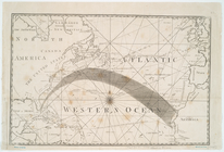
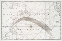
The
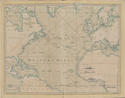
Atlantic
or Western
Ocean
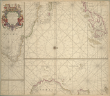
A chart of the coast of BARBA…
A generall chart from ENGLAND…
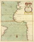
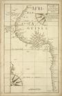
A draught of the coast of Afr…
A new and correct chart from …
A new chart of the trading pa…
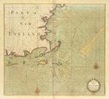
A large draught of New Englan…
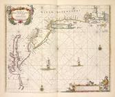
Part of NEW ENGLAND
Part of New England, New York…
A new draught of the coast of…
A chart of the sea coasts of …
A chart of the sea coast from…
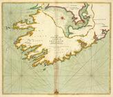
The SOUTH-WEST coast of IRELA…
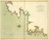
A chart of the NORTH-WEST coa…
A Generall chart of the NORTH…
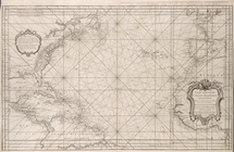
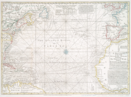
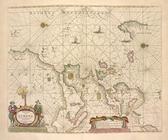
A new chart of the vast
Atlantic
Ocean
m
Map of the route of the New Y…
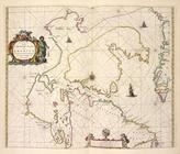
Paskaart van Brazil van Rio d…
Pas caerte van Nieu Nederland…
Pascaerte van Vlaemsche, Sout…
Paskaert zijde de Noordelicks…
Pascaerte van Groen-landt,Ysl…
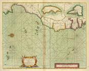
De cust van Barbaria, Gualata…
Pas-caart van Hispangien, ver…
Paskaarte om achter Yrlandt o…
Pascaart van Europa.
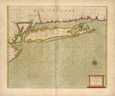
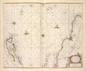
Middle part of Long Island So…
Tidal currents of Long Island…
Carte reduite des mers compri…
note:
…
Atlantic
Seaboard.
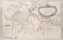
Accuratissima totius terrarum…
note:
…
Atlantic
Ocean
to the North
A view of ye general & coasti…
note:
…
Atlantic
Seaboard.
m
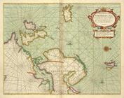
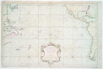
A chart of North and South Am…
note:
… of the
Atlantic
Ocean
A chart of North and South Am…
note:
… of the
Atlantic
Ocean
Ocean
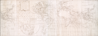
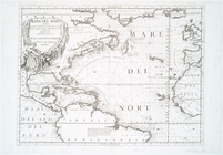
Atlantique, ou, Mer du Nord : ou
note:
Covers the
Atlantic
Ocean
from N 56º to S 6º. …
Paskaert waer in de graden de…
note:
Koeman.
Atlantes
Neerlandici, IV, p. 372.
A new and accurate map of the…
note:
…
Atlantic
Seaboard.
…
Atlantic
or Western
Ocean
.
A chart of the Atlantick
Ocean
from Buttons
Carte de la Louisiane cours d…
abstract:
… the
Atlantic
Ocean
to the Rio
Carte de la Louisiane et du c…
note:
… the
Atlantic
Ocean
and Hudson
A New generall chart for the …
note:
Covers the
Atlantic
Ocean
between N 550
…
Ocean
reduced
note:
Covers
Atlantic
Ocean
between N 620
Mare del Nord
note:
Appears in Vincenzo Coronelli's
Atlante
Veneto.
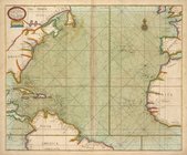
[A Chart of the
Atlantic
or Western
Ocean
]
note:
…
Atlantic
Seaboard.
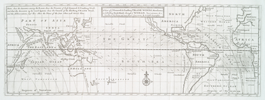
A Chart of the
Atlantic
or Western
Ocean
… in the western & southern
oceans
note:
Shows North and South
Atlantic
Oceans