Click to visit the main New York Public Library Homepage
The New York Public Library
Digital Collections
About Digital Collections
Browse
Search only public domain materials
Items
Collections
Divisions
Home
Search
Browse
About
Search only public domain materials
Items
Collections
Divisions
Digital Collections
Using Images
Using Data
Collections
Charting America: Maps from the Lawrence H. Slaughter Collection and Others
Charting America: Maps from the Lawrence H. Slaughter Collection and Others
Navigation
Filters
Charting America: Maps from the Lawrence H. Slaughter Collection and Others
Previous
The south part of Virginia, now the north part of Carolina
0
Atlases, gazetteers, guidebooks and other books
377
Maps of the World
16
Maps of the Oceans
24
Maps of North and South America
23
Maps of North America.
551
Maps of New York City and State
1340
Lawrence H. Slaughter Collection of English maps, charts, globes, books and atlases
1020
John H. Levine Collection
60
More
Show filters
Hide filters
Show Only Public Domain
topic
Geography
224
Atlases, British
100
World maps
39
Cosmography
35
Atlases
18
More
Less
name
Thornton, Samuel
182
Ortelius, Abraham, 1527-1598
127
Coignet, Michel, 1549-1623
126
Shawe, James
126
Mitchell, S. Augustus (Samuel Augustus), 1792-1868
79
More
Less
collection
Atlases, gazetteers, guidebooks and other books
403
Lawrence H. Slaughter Collection of English maps, charts, globes, books and atlases
253
Maps of New York City and State
21
Maps of the World
17
John H. Levine Collection
6
More
Less
place
Maps
40
Great Britain
19
Atlantic Ocean
16
English Channel
14
New York (State)
14
More
Less
genre
Maps
616
Nautical charts
173
Registers (Lists)
26
preliminaries
24
pages (components)
13
More
Less
publisher
Printed for Ieames Shawe, and are to be solde at his shoppe nigh Ludgate,
126
S. A. Mitchell, jr
79
Printed for Robert Sayer, No. 53, Fleet-Street
76
M. Carey
46
... Sold ... by Tho. Bowles, print and map-seller in St. Paul's-Churchyard
32
More
Less
division
Map Division
702
type
cartographic
610
text
86
still image
21
Date Range
to
703 results found for:
World maps?tab=filter
Sort by:
Relevance
Title
Date created
Date digitized
Sequence
m
Shell street guide of Brookly…
note:
NYPL
Map
Div. copy has accession no
Blum's travel and guide
map
New York
world
m
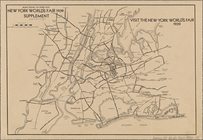
New York
world
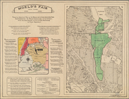
's fair by automobile. New
Map
of the New York
world
's fair
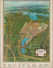
World
's fair New York.
note:
2
maps
in 1 sheet.
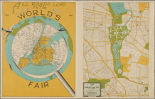
All roads lead to the
world
's fair.
m
New York City, photographed f…
note:
…
World
, Oct. 8, 1922.
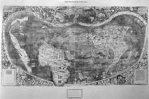
Universalis cosmographia secu…
image:
ps_
map
_cd1_11
m
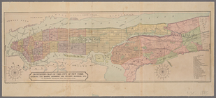
Center of New York, first city of the
world
… district in the
world
Economic and geologic
map
of the state
note:
… York at the
World
m
…
world
, embracing
note:
Pasted at lower right corner of
map
:
Map
… of the
world
map
of Buffalo
note:
…
map
of Buffalo."…
Map
of New York State
note:
…"The largest buggy manufactures in the
world
."…
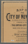
Monteith's
map
of the City of New York
note:
… of the
world
, with
map
drawing
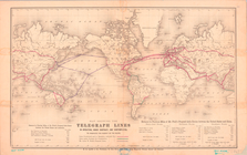
Map
Showing the Telegraph Lines in Operation
collection:
Maps
of the
World
m
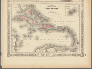
Johnson's West Indies, Plate …
m
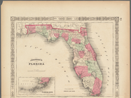
Johnson's Florida, Plate 43
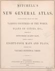
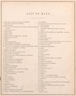
Mitchell's new general atlas,…
collection:
…
maps
of the various countries of the
world
Mitchell's new general atlas,…
collection:
…
maps
of the various countries of the
world
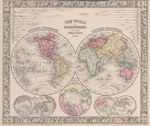
The
world
in hemispheres. With other
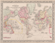
Map
of the
world
on the mercator projection
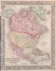
Map
of North America. Showing its
collection:
…
maps
of the various countries of the
world
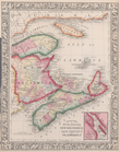
County
map
of Nova Scotia, New Brunswick
collection:
…
maps
of the various countries of the
world
Map
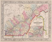
of Canada East in counties; Environs
collection:
…
maps
of the various countries of the
world
Map
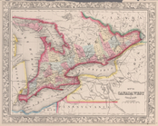
of Canada West in counties.
collection:
…
maps
of the various countries of the
world
Map
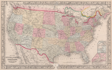
of the United States, and territories
collection:
…
maps
of the various countries of the
world
County
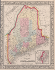
map
of the State of Maine
collection:
…
maps
of the various countries of the
world
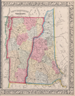
New Hampshire and Vermont.
collection:
…
maps
of the various countries of the
world
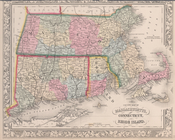
County
map
of Massachusetts, Connecticut
collection:
…
maps
of the various countries of the
world
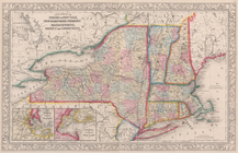
County
map
of the States of New York, New
collection:
…
maps
of the various countries of the
world
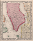
Plan of New York, &c.
collection:
…
maps
of the various countries of the
world
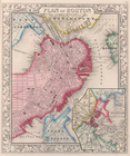
Plan of Boston.
collection:
…
maps
of the various countries of the
world
County
map
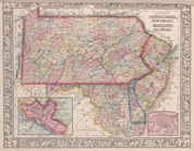
of Pennsylvania, New Jersey
collection:
…
maps
of the various countries of the
world
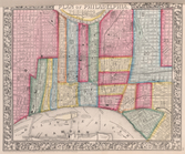
Plan of Philadelphia.
collection:
…
maps
of the various countries of the
world
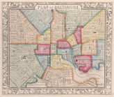
Plan of Baltimore.
collection:
…
maps
of the various countries of the
world
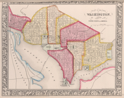
Plan of the City of Washingto…
collection:
…
maps
of the various countries of the
world
County
map
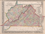
of Virginia and West Virginia.
collection:
…
maps
of the various countries of the
world
County
map
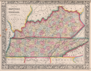
of Kentucky and Tennessee.
collection:
…
maps
of the various countries of the
world
County
map
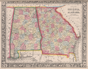
of Georgia and Alabama.
collection:
…
maps
of the various countries of the
world
County
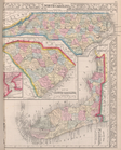
map
of North Carolina,
Map
of South
collection:
…
maps
of the various countries of the
world
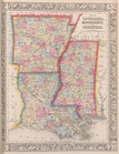
Map
of Louisiana, Mississippi, and Arkansas.
collection:
…
maps
of the various countries of the
world
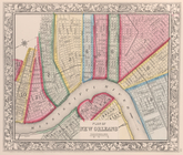
Plan of New Orleans.
collection:
…
maps
of the various countries of the
world
County
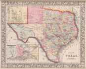
map
of Texas ; Galveston Bay and vicinity
collection:
…
maps
of the various countries of the
world
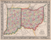
County
map
of Ohio and Indiana.
collection:
…
maps
of the various countries of the
world
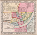
Plan of Cincinnati and vicini…
collection:
…
maps
of the various countries of the
world
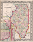
County
map
of the State of Illinois ; Plan
collection:
…
maps
of the various countries of the
world
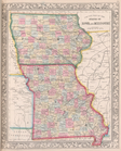
County
map
of the States of Iowa
collection:
…
maps
of the various countries of the
world
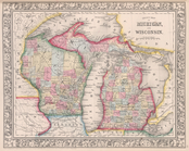
County
map
of Michigan, and Wisconsin.
collection:
…
maps
of the various countries of the
world
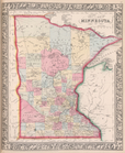
County
map
of Minnesota.
collection:
…
maps
of the various countries of the
world
1
2
3
Previous
Next
1
2
3
Previous
Next