


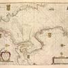
![A General Introduction to Geography and Cosmography [p. 1]](https://images.nypl.org/index.php?id=5207364&t=b)
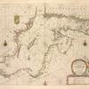
![A General Introduction to Geography and Cosmography [p. 2]](https://images.nypl.org/index.php?id=5207365&t=b)
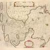
![A General Introduction to Geography and Cosmography [p. 3]](https://images.nypl.org/index.php?id=5207366&t=b)
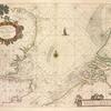
![A General Introduction to Geography and Cosmography [p. 4]](https://images.nypl.org/index.php?id=5207367&t=b)
![A General Introduction to Geography and Cosmography [p. 5]](https://images.nypl.org/index.php?id=5207368&t=b)
![A General Introduction to Geography and Cosmography [p. 6]](https://images.nypl.org/index.php?id=5207369&t=b)
![A General Introduction to Geography and Cosmography [p. 7]](https://images.nypl.org/index.php?id=5207370&t=b)
![A General Introduction to Geography and Cosmography [p. 8]](https://images.nypl.org/index.php?id=5207371&t=b)
![A General Introduction to Geography and Cosmography [p. 9]](https://images.nypl.org/index.php?id=5207372&t=b)
![A General Introduction to Geography and Cosmography [p. 10]](https://images.nypl.org/index.php?id=5207373&t=b)
![A General Introduction to Geography and Cosmography [p. 11]](https://images.nypl.org/index.php?id=5207374&t=b)
![A General Introduction to Geography and Cosmography [p. 12]](https://images.nypl.org/index.php?id=5207375&t=b)
![A General Introduction to Geography and Cosmography [p. 13]](https://images.nypl.org/index.php?id=5207376&t=b)
- The Library Shop
- Privacy Policy
- Rules and Regulations
- Using the Internet
- Website Terms and Conditions
- Gifts of Materials to NYPL
-
© The New York Public Library, 2024
The New York Public Library is a 501(c)(3) | EIN 13-1887440
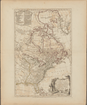
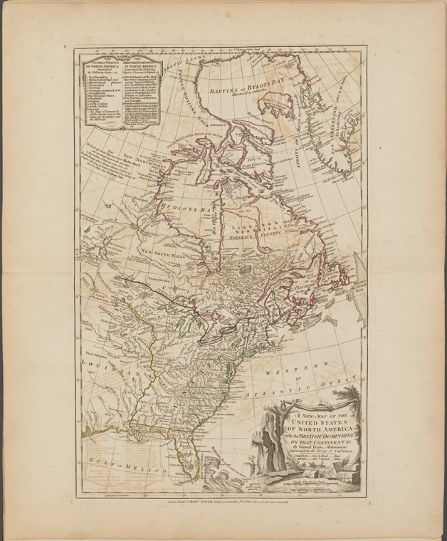
Lionel Pincus and Princess Firyal Map Division, The New York Public Library. "A new map of the United States of North America with the British dominions on that continent &c." The New York Public Library Digital Collections. 1786. https://digitalcollections.nypl.org/items/20434930-857d-0132-416f-58d385a7b928
Lionel Pincus and Princess Firyal Map Division, The New York Public Library. "A new map of the United States of North America with the British dominions on that continent &c." New York Public Library Digital Collections. Accessed April 27, 2024. https://digitalcollections.nypl.org/items/20434930-857d-0132-416f-58d385a7b928
Lionel Pincus and Princess Firyal Map Division, The New York Public Library. (1786). A new map of the United States of North America with the British dominions on that continent &c. Retrieved from https://digitalcollections.nypl.org/items/20434930-857d-0132-416f-58d385a7b928
<ref name=NYPL>{{cite web | url=https://digitalcollections.nypl.org/items/20434930-857d-0132-416f-58d385a7b928 | title=
(cartographic)
A new map of the United States of North America with the British dominions on that continent &c., (1786)|author=Digital Collections, The New York Public Library |accessdate=April 27, 2024 |publisher=The New York Public Library, Astor, Lenox, and Tilden Foundations}}</ref>