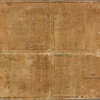


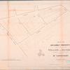
![Map of the Queens Boro[ugh], city of New York](https://images.nypl.org/index.php?id=5082597&t=b)
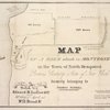
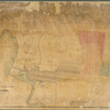
![[Long Island City] Reference Map of the property of New York Land & Warehouse Company showing desirable Factory, Water Front and Building Sites, First Ward, Borough of Queens, City of New York](https://images.nypl.org/index.php?id=5082548&t=b)
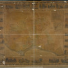
![[Long Island City, Queens] Record of searches in relation to the legal status of avenues and streets in the 1st Ward of the Borough of Queens.](https://images.nypl.org/index.php?id=5082549&t=b)
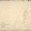
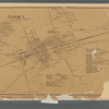
![[Rockaway Beach, Queens] Plan of drainage showing locations, sizes,& grades of sewers in sewerage district No. 10, Rockaway Beach watershed . . .](https://images.nypl.org/index.php?id=5082550&t=b)
- The Library Shop
- Privacy Policy
- Rules and Regulations
- Using the Internet
- Website Terms and Conditions
- Gifts of Materials to NYPL
-
© The New York Public Library, 2024
The New York Public Library is a 501(c)(3) | EIN 13-1887440
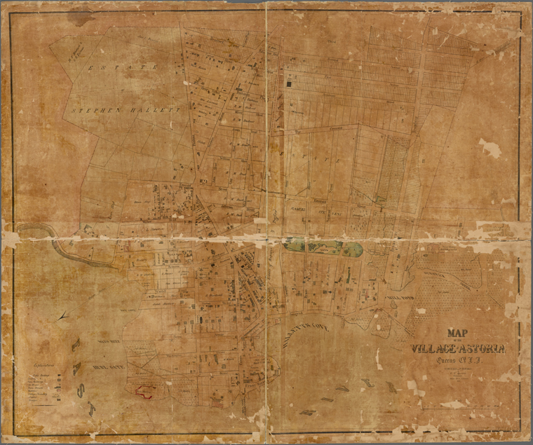
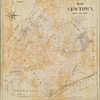
Lionel Pincus and Princess Firyal Map Division, The New York Public Library. "Map of the village of Astoria, Queens Co. L.I." The New York Public Library Digital Collections. 1852. https://digitalcollections.nypl.org/items/22011a60-560b-0131-6146-58d385a7bbd0
Lionel Pincus and Princess Firyal Map Division, The New York Public Library. "Map of the village of Astoria, Queens Co. L.I." New York Public Library Digital Collections. Accessed April 25, 2024. https://digitalcollections.nypl.org/items/22011a60-560b-0131-6146-58d385a7bbd0
Lionel Pincus and Princess Firyal Map Division, The New York Public Library. (1852). Map of the village of Astoria, Queens Co. L.I. Retrieved from https://digitalcollections.nypl.org/items/22011a60-560b-0131-6146-58d385a7bbd0
<ref name=NYPL>{{cite web | url=https://digitalcollections.nypl.org/items/22011a60-560b-0131-6146-58d385a7bbd0 | title=
(cartographic)
Map of the village of Astoria, Queens Co. L.I., (1852)
|author=Digital Collections, The New York Public Library |accessdate=April 25, 2024 |publisher=The New York Public Library, Astor, Lenox, and Tilden Foundations}}</ref>