


- The Library Shop
- Privacy Policy
- Rules and Regulations
- Using the Internet
- Website Terms and Conditions
- Gifts of Materials to NYPL
-
© The New York Public Library, 2024
The New York Public Library is a 501(c)(3) | EIN 13-1887440
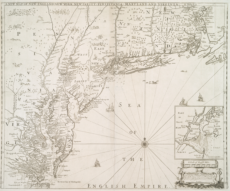
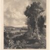
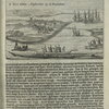
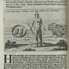
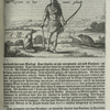
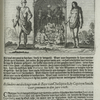
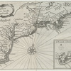
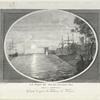
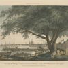
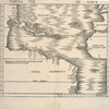
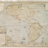
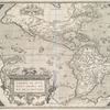
![A new map of New England, New York, New I[J]arsey, Pensilvania, Maryland, and Virginia.](https://images.nypl.org/index.php?id=54911&t=b)
I. N. Phelps Stokes Collection of American Historical Prints
Individual prints, drawings, paintings and maps in the Stokes Collection.
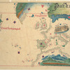
The Miriam and Ira D. Wallach Division of Art, Prints and Photographs: Print Collection, The New York Public Library. "A new map of New England, New York, New I[J]arsey, Pensilvania, Maryland, and Virginia." The New York Public Library Digital Collections. 1720. https://digitalcollections.nypl.org/items/510d47d9-7a80-a3d9-e040-e00a18064a99
The Miriam and Ira D. Wallach Division of Art, Prints and Photographs: Print Collection, The New York Public Library. "A new map of New England, New York, New I[J]arsey, Pensilvania, Maryland, and Virginia." New York Public Library Digital Collections. Accessed April 20, 2024. https://digitalcollections.nypl.org/items/510d47d9-7a80-a3d9-e040-e00a18064a99
The Miriam and Ira D. Wallach Division of Art, Prints and Photographs: Print Collection, The New York Public Library. (1720). A new map of New England, New York, New I[J]arsey, Pensilvania, Maryland, and Virginia. Retrieved from https://digitalcollections.nypl.org/items/510d47d9-7a80-a3d9-e040-e00a18064a99
<ref name=NYPL>{{cite web | url=https://digitalcollections.nypl.org/items/510d47d9-7a80-a3d9-e040-e00a18064a99 | title=
(still image)
A new map of New England, New York, New I[J]arsey, Pensilvania, Maryland, and Virginia., (1720)
|author=Digital Collections, The New York Public Library |accessdate=April 20, 2024 |publisher=The New York Public Library, Astor, Lenox, and Tilden Foundations}}</ref>
![A new map of New England, New York, New I[J]arsey, Pensilvania, Maryland, and Virginia.](https://images.nypl.org/index.php?id=54911&t=t)