


- The Library Shop
- Privacy Policy
- Rules and Regulations
- Using the Internet
- Website Terms and Conditions
- Gifts of Materials to NYPL
-
© The New York Public Library, 2024
The New York Public Library is a 501(c)(3) | EIN 13-1887440
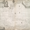
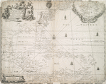
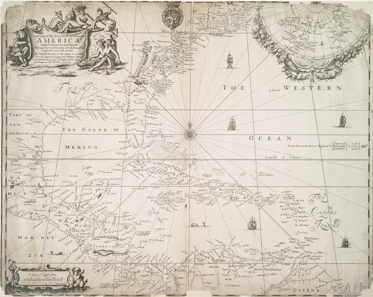
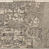
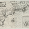
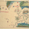
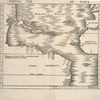
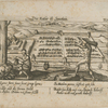
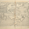
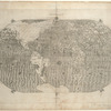
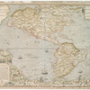
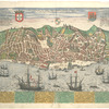
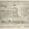
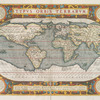
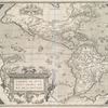
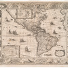
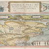
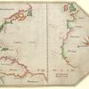
I. N. Phelps Stokes Collection of American Historical Prints
Individual prints, drawings, paintings and maps in the Stokes Collection.
The Miriam and Ira D. Wallach Division of Art, Prints and Photographs: Print Collection, The New York Public Library. "A new map of the English plantations in America." The New York Public Library Digital Collections. 1675. https://digitalcollections.nypl.org/items/510d47d9-7ab1-a3d9-e040-e00a18064a99
The Miriam and Ira D. Wallach Division of Art, Prints and Photographs: Print Collection, The New York Public Library. "A new map of the English plantations in America." New York Public Library Digital Collections. Accessed April 25, 2024. https://digitalcollections.nypl.org/items/510d47d9-7ab1-a3d9-e040-e00a18064a99
The Miriam and Ira D. Wallach Division of Art, Prints and Photographs: Print Collection, The New York Public Library. (1675). A new map of the English plantations in America. Retrieved from https://digitalcollections.nypl.org/items/510d47d9-7ab1-a3d9-e040-e00a18064a99
<ref name=NYPL>{{cite web | url=https://digitalcollections.nypl.org/items/510d47d9-7ab1-a3d9-e040-e00a18064a99 | title=
(still image)
A new map of the English plantations in America., (1675)
|author=Digital Collections, The New York Public Library |accessdate=April 25, 2024 |publisher=The New York Public Library, Astor, Lenox, and Tilden Foundations}}</ref>