


- The Library Shop
- Privacy Policy
- Rules and Regulations
- Using the Internet
- Website Terms and Conditions
- Gifts of Materials to NYPL
-
© The New York Public Library, 2024
The New York Public Library is a 501(c)(3) | EIN 13-1887440
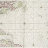
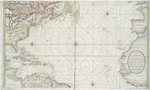
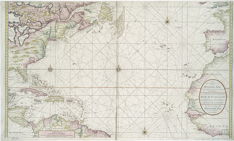
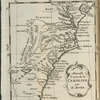
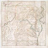
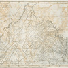
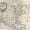
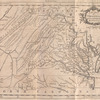
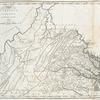
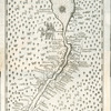
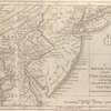
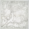
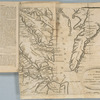
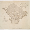
Lawrence H. Slaughter Collection of English maps, charts, globes, books and atlases
Lionel Pincus and Princess Firyal Map Division, The New York Public Library. "Nieuwe wassende graade zee kaart over de Spaanse Zee vant kanaal tot t'eyland Cuba in Westindia = Nouvelle carte marine reduite de la Mer d. Espagne du canal jusqua Terra Neuf en I. de Cuba dans l'Amerique = The new sea map of the Spannish Zee betwext t' chanell and the I. Cuba" The New York Public Library Digital Collections. 1720. https://digitalcollections.nypl.org/items/510d47da-ee08-a3d9-e040-e00a18064a99
Lionel Pincus and Princess Firyal Map Division, The New York Public Library. "Nieuwe wassende graade zee kaart over de Spaanse Zee vant kanaal tot t'eyland Cuba in Westindia = Nouvelle carte marine reduite de la Mer d. Espagne du canal jusqua Terra Neuf en I. de Cuba dans l'Amerique = The new sea map of the Spannish Zee betwext t' chanell and the I. Cuba" New York Public Library Digital Collections. Accessed April 24, 2024. https://digitalcollections.nypl.org/items/510d47da-ee08-a3d9-e040-e00a18064a99
Lionel Pincus and Princess Firyal Map Division, The New York Public Library. (1720). Nieuwe wassende graade zee kaart over de Spaanse Zee vant kanaal tot t'eyland Cuba in Westindia = Nouvelle carte marine reduite de la Mer d. Espagne du canal jusqua Terra Neuf en I. de Cuba dans l'Amerique = The new sea map of the Spannish Zee betwext t' chanell and the I. Cuba Retrieved from https://digitalcollections.nypl.org/items/510d47da-ee08-a3d9-e040-e00a18064a99
<ref name=NYPL>{{cite web | url=https://digitalcollections.nypl.org/items/510d47da-ee08-a3d9-e040-e00a18064a99 | title=
(cartographic)
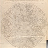
Nieuwe wassende graade zee kaart over de Spaanse Zee vant kanaal tot t'eyland Cuba in Westindia = Nouvelle carte marine reduite de la Mer d. Espagne du canal jusqua Terra Neuf en I. de Cuba dans l'Amerique = The new sea map of the Spannish Zee betwext t' chanell and the I. Cuba, (1720)
|author=Digital Collections, The New York Public Library |accessdate=April 24, 2024 |publisher=The New York Public Library, Astor, Lenox, and Tilden Foundations}}</ref>