


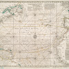
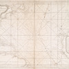
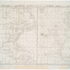
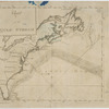
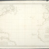


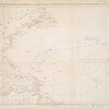
![Chart of the Atlantic Ocean : with an illustration of the character and rout[e] of a storm which occurred on the American coast in August 1830](https://images.nypl.org/index.php?id=465018&t=b)
- The Library Shop
- Privacy Policy
- Rules and Regulations
- Using the Internet
- Website Terms and Conditions
- Gifts of Materials to NYPL
-
© The New York Public Library, 2024
The New York Public Library is a 501(c)(3) | EIN 13-1887440
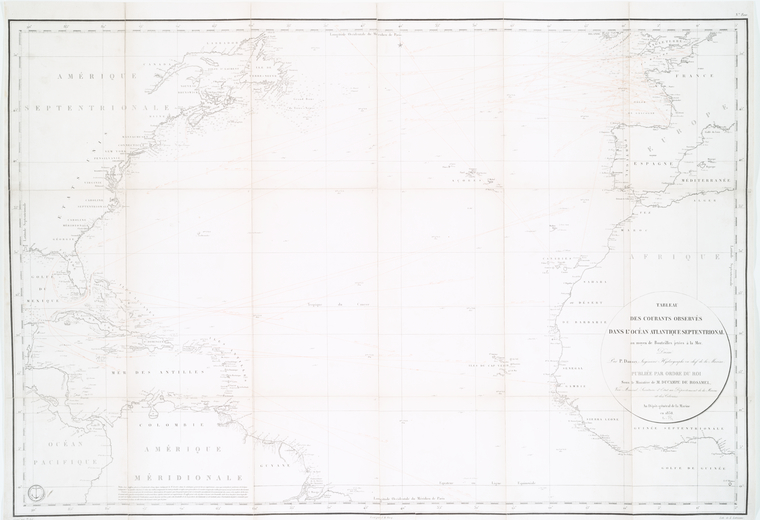
Lionel Pincus and Princess Firyal Map Division, The New York Public Library. "Tableau des courants observés dans l'Océan Atlantique Septentrional, au moyen de bouteilles jetées à la mer" The New York Public Library Digital Collections. 1838. https://digitalcollections.nypl.org/items/510d47da-f0ff-a3d9-e040-e00a18064a99
Lionel Pincus and Princess Firyal Map Division, The New York Public Library. "Tableau des courants observés dans l'Océan Atlantique Septentrional, au moyen de bouteilles jetées à la mer" New York Public Library Digital Collections. Accessed April 23, 2024. https://digitalcollections.nypl.org/items/510d47da-f0ff-a3d9-e040-e00a18064a99
Lionel Pincus and Princess Firyal Map Division, The New York Public Library. (1838). Tableau des courants observés dans l'Océan Atlantique Septentrional, au moyen de bouteilles jetées à la mer Retrieved from https://digitalcollections.nypl.org/items/510d47da-f0ff-a3d9-e040-e00a18064a99
<ref name=NYPL>{{cite web | url=https://digitalcollections.nypl.org/items/510d47da-f0ff-a3d9-e040-e00a18064a99 | title=
(cartographic)
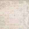
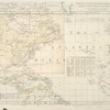
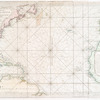
Tableau des courants observés dans l'Océan Atlantique Septentrional, au moyen de bouteilles jetées à la mer, (1838)
|author=Digital Collections, The New York Public Library |accessdate=April 23, 2024 |publisher=The New York Public Library, Astor, Lenox, and Tilden Foundations}}</ref>