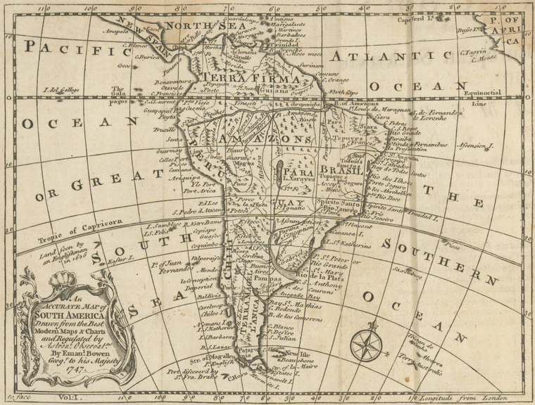
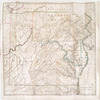
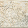
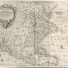
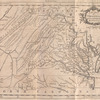
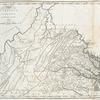
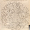
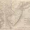
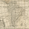
TitleAn accurate map of South America: drawn from the best modern maps and charts, and regulated by astron'l. observatns
NamesBurke, Edmund, 1729-1797 (Author)Burke, William, 1730-1798 (Associated name)Dodsley, James, 1724-1797 (Publisher)
CollectionLawrence H. Slaughter Collection of English maps, charts, globes, books and atlases
Atlases
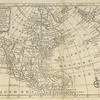
An account of the European settlements in America: in six parts ... Each part contains an accurate description of the settlements in it, their extent, climate, productions, trade, genius and disposition of their inhabitants ; the interests of the several powers of Europe with respect to those settlements, and their political and commercial views with regard to each other
Dates / OriginDate Issued: 1757Place: LondonPublisher: Printed for R. and J. Dodsley...
Library locationsLionel Pincus and Princess Firyal Map DivisionShelf locator: Map Div. 97-6467 [LHS 3033; atlas cases]
TopicsAmerica -- Discovery and explorationAmerica
GenresMaps
NotesContent: 8vo: v. 1: A, B(+/-, B2, 4), C-E(E1), F-U, X; v. 2: [A]1, B-X.Content: Attributed to Burke, possibly in collaboration with his brother Richard and/or his cousin William. Cf. Todd, p. 28-29. CBEL attributes to William.Content: Copy in Map Div. 97-6467: Lawrence H. Slaughter Collection.Content: Lawrence H. Slaughter Collection ; 3033.Content: National Endowment for the Humanities Grant for Access to Early Maps of the Middle Atlantic Seaboard.Citation/reference: ESTC, T006290.Citation/reference: Todd, 4aContent: Copy 1: Binder's title: European settlements in America. -- Sprinkled calf, black and green morocco lettering pieces, gilt spine decorations and titling, gilt decorative cover edges, red sprinkled edges. -- Bookplate: Edn. Smith; C.J. Sawyer, October 1926.Content: Copy 2: Binder's title: Settlem. in America. -- Sprinkled calf, red morocco titling piece, gilt spine titling and rules, gilt rule borders, cover edges blind tooled with blacking, red sprinkled edges. -- Bookplate (v. 1): John Lord Sheffield, Sussex; Bookplate (v. 2, laid in) Thomas Pennant; Henry Stevens.Statement of responsibility: by Eman. Bowen, geog'r. to His Majesty, 1747.
Type of ResourceCartographic
IdentifiersNYPL catalog ID (B-number): b13602310Universal Unique Identifier (UUID): 6ad2def0-c5d4-012f-a7b9-58d385a7bc34
Rights StatementThe New York Public Library believes that this item is in the public domain under the laws of the United States, but did not make a determination as to its copyright status under the copyright laws of other countries. This item may not be in the public domain under the laws of other countries. Though not required, if you want to credit us as the source, please use the following statement, "From The New York Public Library," and provide a link back to the item on our Digital Collections site. Doing so helps us track how our collection is used and helps justify freely releasing even more content in the future.
Item timeline of events
-
-
-
-
-
-