


- The Library Shop
- Privacy Policy
- Rules and Regulations
- Using the Internet
- Website Terms and Conditions
- Gifts of Materials to NYPL
-
© The New York Public Library, 2024
The New York Public Library is a 501(c)(3) | EIN 13-1887440
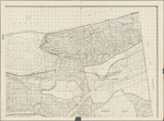
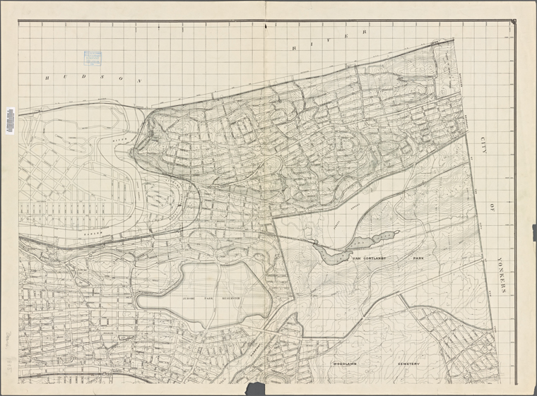
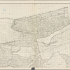
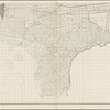
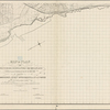
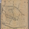
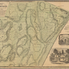
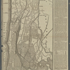
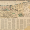
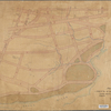
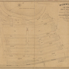
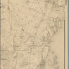
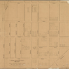
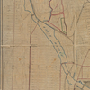
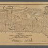
Lionel Pincus and Princess Firyal Map Division, The New York Public Library. "Map or plan of streets, roads, avenues, public squares, and places in the 23rd and 24th wards of the City of New York..." The New York Public Library Digital Collections. 1895. https://digitalcollections.nypl.org/items/572fc880-f94a-0130-9bec-58d385a7bbd0
Lionel Pincus and Princess Firyal Map Division, The New York Public Library. "Map or plan of streets, roads, avenues, public squares, and places in the 23rd and 24th wards of the City of New York..." New York Public Library Digital Collections. Accessed April 25, 2024. https://digitalcollections.nypl.org/items/572fc880-f94a-0130-9bec-58d385a7bbd0
Lionel Pincus and Princess Firyal Map Division, The New York Public Library. (1895). Map or plan of streets, roads, avenues, public squares, and places in the 23rd and 24th wards of the City of New York... Retrieved from https://digitalcollections.nypl.org/items/572fc880-f94a-0130-9bec-58d385a7bbd0
<ref name=NYPL>{{cite web | url=https://digitalcollections.nypl.org/items/572fc880-f94a-0130-9bec-58d385a7bbd0 | title=
(cartographic)
Map or plan of streets, roads, avenues, public squares, and places in the 23rd and 24th wards of the City of New York..., (1895)
|author=Digital Collections, The New York Public Library |accessdate=April 25, 2024 |publisher=The New York Public Library, Astor, Lenox, and Tilden Foundations}}</ref>