![Mirʺ sʺ B[o]gomʺ ch[e]lovĕkū](https://images.nypl.org/index.php?id=58509201&t=b)

- The Library Shop
- Privacy Policy
- Rules and Regulations
- Using the Internet
- Website Terms and Conditions
- Gifts of Materials to NYPL
-
© The New York Public Library, 2024
The New York Public Library is a 501(c)(3) | EIN 13-1887440
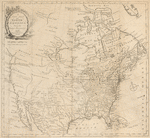
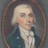
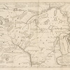
Travels through the interior parts of North-America in theyears 1766, 1767, and 1768.
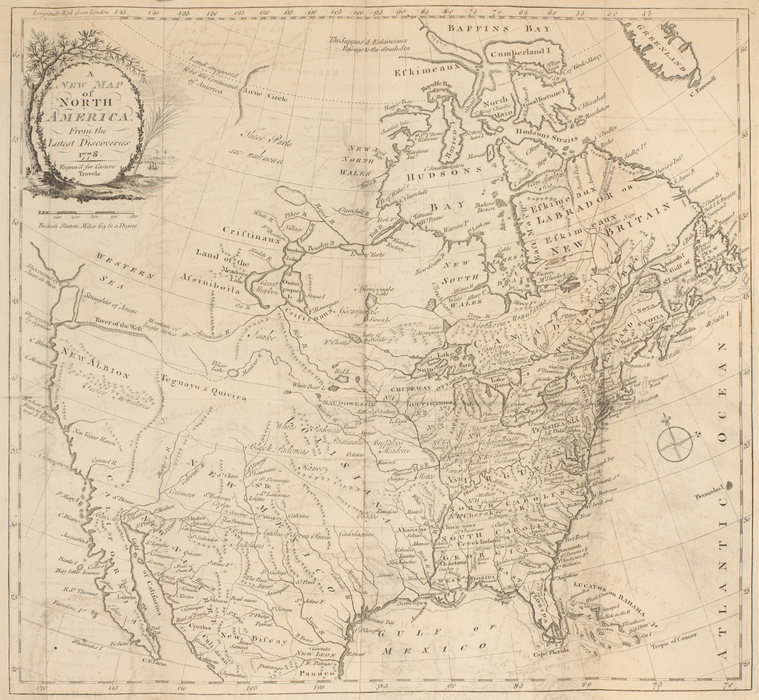
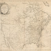
Rare Book Division, The New York Public Library. "A new map of North America from the latest discoveries 1778 " The New York Public Library Digital Collections. 1778. https://digitalcollections.nypl.org/items/8b37d44a-b0df-b3ad-e040-e00a180643bf
Rare Book Division, The New York Public Library. "A new map of North America from the latest discoveries 1778 " New York Public Library Digital Collections. Accessed April 20, 2024. https://digitalcollections.nypl.org/items/8b37d44a-b0df-b3ad-e040-e00a180643bf
Rare Book Division, The New York Public Library. (1778). A new map of North America from the latest discoveries 1778 Retrieved from https://digitalcollections.nypl.org/items/8b37d44a-b0df-b3ad-e040-e00a180643bf
<ref name=NYPL>{{cite web | url=https://digitalcollections.nypl.org/items/8b37d44a-b0df-b3ad-e040-e00a180643bf | title=
(cartographic)
A new map of North America from the latest discoveries 1778 , (1778)
|author=Digital Collections, The New York Public Library |accessdate=April 20, 2024 |publisher=The New York Public Library, Astor, Lenox, and Tilden Foundations}}</ref>