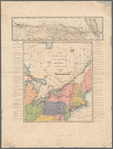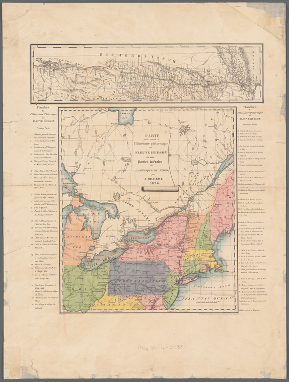


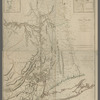
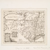
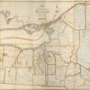
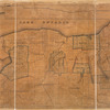
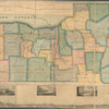
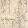
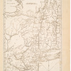
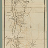
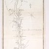
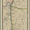
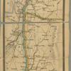

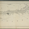
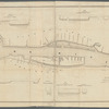
![[Map of the Hudson River] prepared for Taintor's guide books](https://images.nypl.org/index.php?id=5686965&t=b)
- The Library Shop
- Privacy Policy
- Rules and Regulations
- Using the Internet
- Website Terms and Conditions
- Gifts of Materials to NYPL
-
© The New York Public Library, 2024
The New York Public Library is a 501(c)(3) | EIN 13-1887440
Lionel Pincus and Princess Firyal Map Division, The New York Public Library. "Carte pour servir à l'itinéraire pittoresque du fleuve Hudson et des parties latérales de l'Amerique du Nord" The New York Public Library Digital Collections. 1828 - 1828. https://digitalcollections.nypl.org/items/d459df30-8b0f-0133-1113-00505686d14e
Lionel Pincus and Princess Firyal Map Division, The New York Public Library. "Carte pour servir à l'itinéraire pittoresque du fleuve Hudson et des parties latérales de l'Amerique du Nord" New York Public Library Digital Collections. Accessed April 25, 2024. https://digitalcollections.nypl.org/items/d459df30-8b0f-0133-1113-00505686d14e
Lionel Pincus and Princess Firyal Map Division, The New York Public Library. (1828 - 1828). Carte pour servir à l'itinéraire pittoresque du fleuve Hudson et des parties latérales de l'Amerique du Nord Retrieved from https://digitalcollections.nypl.org/items/d459df30-8b0f-0133-1113-00505686d14e
<ref name=NYPL>{{cite web | url=https://digitalcollections.nypl.org/items/d459df30-8b0f-0133-1113-00505686d14e | title=
(cartographic)
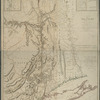
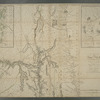
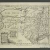
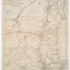
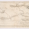
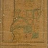
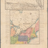
Carte pour servir à l'itinéraire pittoresque du fleuve Hudson et des parties latérales de l'Amerique du Nord, (1828 - 1828)
|author=Digital Collections, The New York Public Library |accessdate=April 25, 2024 |publisher=The New York Public Library, Astor, Lenox, and Tilden Foundations}}</ref>