Click to visit the main New York Public Library Homepage
The New York Public Library
Digital Collections
About Digital Collections
Browse
Search only public domain materials
Items
Collections
Divisions
Home
Search
Browse
About
Search only public domain materials
Items
Collections
Divisions
Digital Collections
Using Images
Using Data
Search
Keyword search
Show filters
Hide filters
Show Only Public Domain
topic
Real property
8760
Fire insurance
5281
Cities & towns
5007
City planning
943
Social conditions
942
More
Less
name
Sanborn Map Company
5098
G.W. Bromley & Co
2475
New York (N.Y.). City Planning Commission
980
M.I.T. Press
942
Bromley, George Washington
788
More
Less
collection
Atlases of New York City
11722
Atlases of the United States
987
Lawrence H. Slaughter Collection of English maps, charts, globes, books and atlases
107
Atlases, gazetteers, guidebooks and other books
86
Maps of New York City and State
1
More
Less
place
New York (State)
10115
New York
4365
New York (N.Y.)
2606
Manhattan (New York, N.Y.)
1958
Brooklyn (New York, N.Y.)
947
More
Less
genre
Maps
12635
Atlases
940
Indexes
146
Topographic maps
135
Title pages
99
More
Less
publisher
Sanborn Map Company
5145
G.W. Bromley & Co
2297
MIT Press
942
E. Belcher Hyde
683
E. Robinson Co
342
More
Less
division
Map Division
12745
Milstein Division
29
type
cartographic
11698
still image
958
text
387
Date Range
to
Looking for this collection?
Atlases of New York City
11,722 items
12,904 results found for:
atlases of new york city
Sort by:
Relevance
Title
Date created
Date digitized
Sequence
Results 301 - 350
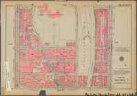
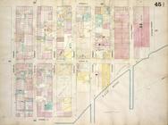
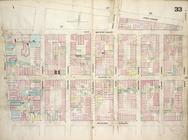
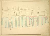
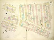
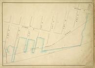
Bounded by W. 133rd Street, E…
use:
… partner (e.g.,
New
York
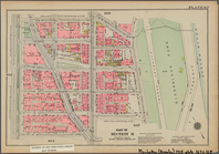
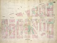
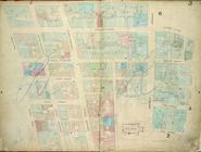
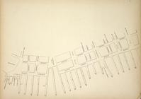
Bounded by W. 167th Street, (…
use:
… partner (e.g.,
New
York
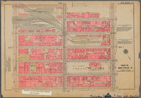
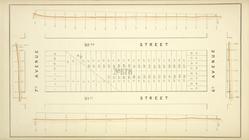
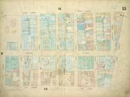
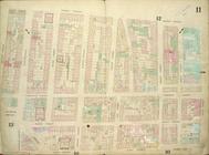
Bounded by W. 32nd Street, Ni…
use:
… partner (e.g.,
New
York
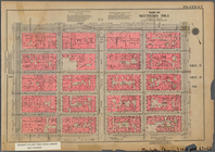
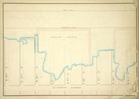
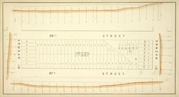
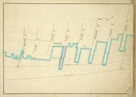
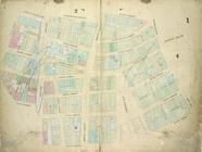
Bounded by E. 42nd Street, Th…
use:
… partner (e.g.,
New
York
Bounded by W. 37th Street, Se…
use:
… partner (e.g.,
New
York
Bounded by W. 116th Street, E…
use:
… partner (e.g.,
New
York
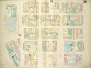
Bounded by E. 14th Street, (E…
use:
… partner (e.g.,
New
York
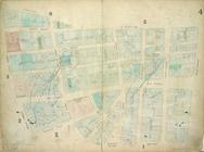
Map bounded by East Houston S…
use:
… partner (e.g.,
New
York
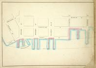
Map bounded by Water Street, …
use:
… partner (e.g.,
New
York
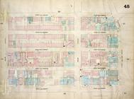
Map bounded by Bulkhead & Pie…
use:
… partner (e.g.,
New
York
Plate 16: Map bounded by West…
use:
… partner (e.g.,
New
York
Map bounded by Bulkhead & Pie…
use:
… partner (e.g.,
New
York
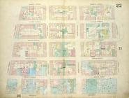
Plate 22: Map bounded by Thom…
use:
… partner (e.g.,
New
York
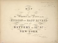
… the Battery to 13th St
New
York
. 1855
use:
… partner (e.g.,
New
York
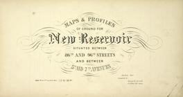
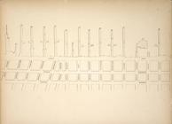
Maps and Profiles of Ground for
New
Reservoir
use:
… partner (e.g.,
New
York
Map bounded by Corlears St, M…
use:
… partner (e.g.,
New
York
Map bounded by Avenue A, East…
use:
… partner (e.g.,
New
York
Map bounded by Fourth Avenue,…
use:
… partner (e.g.,
New
York
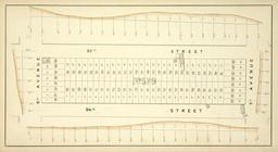
Block No. 678 Map bounded by …
use:
… partner (e.g.,
New
York
Map bounded by Pier - Line, W…
use:
… partner (e.g.,
New
York
Plate 28: Map bounded by Henr…
use:
… partner (e.g.,
New
York
Map bounded by East 22nd Stre…
use:
… partner (e.g.,
New
York
Plate 14: Map bounded by Elm …
use:
… partner (e.g.,
New
York
Map bounded by Second Street,…
use:
… partner (e.g.,
New
York
Map bounded by First Street, …
use:
… partner (e.g.,
New
York
Plate 3: Map bounded by Dey S…
use:
… partner (e.g.,
New
York
Plate 15: Map bounded by Chur…
use:
… partner (e.g.,
New
York
Block No. 572 Map bounded by …
use:
… partner (e.g.,
New
York
Map bounded by Front St, Peck…
use:
… partner (e.g.,
New
York
Map bounded by Mangin St, Lew…
use:
… partner (e.g.,
New
York
Plate 30: Map bounded by Cann…
use:
… partner (e.g.,
New
York
Map bounded by West 18th Stre…
use:
… partner (e.g.,
New
York
Plate: 21 Map bounded by W.Ho…
use:
… partner (e.g.,
New
York
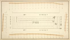
Block No. 674 Map bounded by …
use:
… partner (e.g.,
New
York
Map bounded by First Avenue, …
use:
… partner (e.g.,
New
York
Plate 7: Map bounded by Murra…
use:
… partner (e.g.,
New
York
Plate 26: Map bounded by Ludl…
use:
… partner (e.g.,
New
York
Block No. 577 Map bounded by …
use:
… partner (e.g.,
New
York
Map bounded by Pier - Line, W…
use:
… partner (e.g.,
New
York
Map bounded by First Avenue, …
use:
… partner (e.g.,
New
York
Plate 20: Map bounded by Sull…
use:
… partner (e.g.,
New
York
Map bounded by Pier - Line 25…
use:
… partner (e.g.,
New
York
Block No. 579 Map bounded by …
use:
… partner (e.g.,
New
York
Plate 4: Map bounded by Maide…
use:
… partner (e.g.,
New
York
Map bounded by Avenue D, Aven…
use:
… partner (e.g.,
New
York
Map bounded by Front Street, …
use:
… partner (e.g.,
New
York
Map bounded by Pier - Line 46…
use:
… partner (e.g.,
New
York
Plate 11: Map bounded by Mark…
use:
… partner (e.g.,
New
York
Plate 1: Map bounded by Bowli…
use:
… partner (e.g.,
New
York
Map bounded by Fifth Street, …
use:
… partner (e.g.,
New
York
1
2
…
4
5
6
7
8
9
10
11
…
51
52
Previous
Next
1
2
…
4
5
6
7
8
9
10
11
…
51
52
Previous
Next