Click to visit the main New York Public Library Homepage
The New York Public Library
Digital Collections
About Digital Collections
Browse
Search only public domain materials
Items
Collections
Divisions
Home
Search
Browse
About
Search only public domain materials
Items
Collections
Divisions
Digital Collections
Using Images
Using Data
Search
Filtered search
Show filters
Hide filters
Show Only Public Domain
topic
Real property
7
Administrative and political divisions
3
Homes and haunts
2
City planning
1
Ferries
1
More
Less
name
Hayward, George, approximately 1800-
2
Root, Geo. M. (George M.)
2
Smith, Edwin
2
Valentine, D. T. (David Thomas), 1801-1869
2
Barnet, J
1
More
Less
collection
Maps of New York City and State
21
place
New York (State)
11
New York
10
New York (N.Y.)
10
Brooklyn (New York, N.Y.)
9
Manhattan (New York, N.Y.)
3
More
Less
genre
Maps
21
Cadastral maps
2
publisher
x
s.n
division
Map Division
21
type
cartographic
21
Date Range
to
21 results found
Filtering on:
x
Publisher
: s.n.
x
Parent
: New York City||6cea9e80-c5aa-012f-63d6-58d385a7bc34
Sort by:
Title
Date created
Date digitized
Sequence
Map of the city of Brooklyn
m
Map of the consolidated City …
m
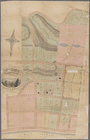
Peremptory sale of a suburban…
m
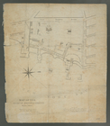
Plan of property situate in t…
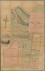
Map of property at New Bright…
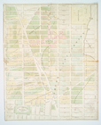
Map of the real estate in the…
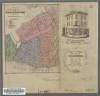
A map of the village of Willi…
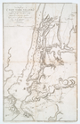
A plan of New York Island, pa…
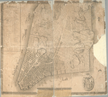
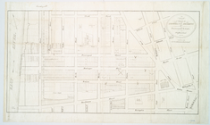
Plan of the city of New-York
New York and Perthamboy Harbo…
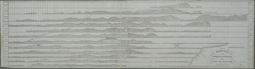
Profile of the twelve avenues…
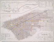
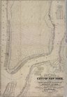
Map of the city of New York, …
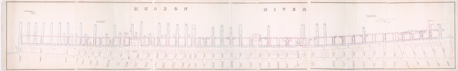
Map of wharves and piers on N…
Map of property on Brooklyn H…
Map of the Marine Hospital gr…
City of New Manhattan : propo…
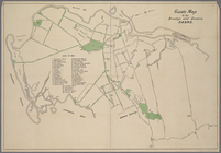
Guide Map to the Brooklyn and…
m
New map of that part of the c…
Map of property at New Bright…
Map of the City of Williamsbu…
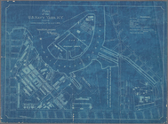
Plan of the U. S. Navy Yard, …
End of results
|
Top