Click to visit the main New York Public Library Homepage
The New York Public Library
Digital Collections
About Digital Collections
Browse
Search only public domain materials
Items
Collections
Divisions
Home
Search
Browse
About
Search only public domain materials
Items
Collections
Divisions
Digital Collections
Using Images
Using Data
Search
Filtered search
Show filters
Hide filters
Show Only Public Domain
topic
Real property
438
Business enterprises
217
Administrative and political divisions
67
Railroads
64
Fire insurance
53
More
Less
name
Beers, F. W. (Frederick W.)
182
Stone & Stewart
151
Beers, S. N
146
Beers, D. G. (Daniel G.)
101
Prindle, A. B
54
More
Less
collection
Atlases of the United States
520
Maps of North America
167
Atlases of New York City
151
Maps of New York City and State
95
Maps of the World
1
place
New York (State)
432
New York Metropolitan Area
62
Westchester County (N.Y.)
56
Brooklyn (New York, N.Y.)
55
Erie County (N.Y.)
49
More
Less
genre
Maps
860
Atlases
520
Cadastral maps
31
Prints
21
Title pages
13
More
Less
publisher
Stone & Stewart
99
F. W. Beers, A. D. Ellis & others
54
Beers, Ellis & Soule
50
C. K. Stone
46
I.B. Culver & Co
32
More
Less
division
x
Map Division
type
cartographic
878
text
58
still image
13
Date Range
to
934 results found
Filtering on:
x
Date
: 1865 - 1869
x
Division
: Map Division
Sort by:
Title
Date created
Date digitized
Sequence
m
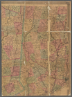
12,000 Square Miles around Ne…
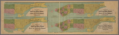
4 plans of the City of New Yo…
m
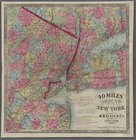
40 miles around New York. H. …
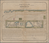
64 Central Park Lots, New Yor…
A bird's-eye view of the city…
A diagram of the state of Ala…
A map of the county between C…
A map of the Virginia Central…
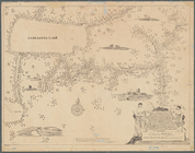
A mappe of Colonel Römers voy…
A mappe of Colonel Römers voy…
m
A new map of Indiana : exhibi…
A new map of the states of Ca…
m
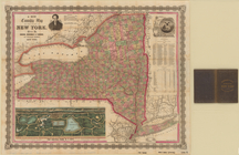
A new township map of the sta…
A sketch map of a portion of …
A Tracing of parts of the sta…
Abbotts Corners [Village]; Ab…
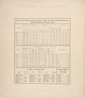
Acres of Land, Population, Dw…
Acres of Land, Population, Dw…
Acres of Land, Population, Dw…
Acres of Land, Population, Dw…
Acres of Land, Population, Dw…
Acres of Land, Population, Nu…
Acres of Land, Valuation, Pop…
Acres of Land, Valuation, Pop…
Akron [Village]; Akron Busine…
Alaska and adjoining region
Alaska and adjoining territor…
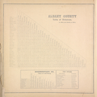
Albany County Table of Distan…
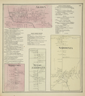
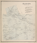
Albion [Township]; New Center…
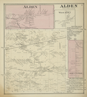
Alden [Village]; Alden [Towns…
America, N.W. Coast, Strait o…
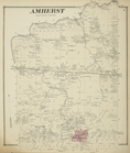
Amherst [Township]
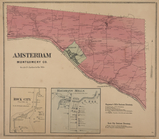
Amsterdam Montgomery Co. [Tow…
m
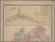
Andes [Village]; Union Grove …
Antietam
Appomattox Court House : from…
Argusville Business Directory…
m
Asher & Adams' new topographi…
Ashville [Village]; Ashville …
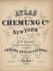
Atlas of Chemung Co. New York
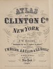
Atlas of Clinton Co., New Yor…
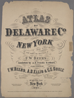
Atlas of Delaware Co., New Yo…
Atlas of Montgomery and Fulto…
Atlas of New York and vicinit…
Atlas of Otsego Co., New York.
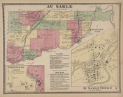
Au Sable [Township]; Birmingh…
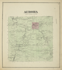
Aurora [Township]
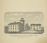
Aurora Woolen Mills, Torry & …
Azoic and paleozoic formation…
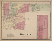
Baldwin Subscriber's Business…
1
2
3
4
Previous
Next
1
2
3
4
Previous
Next