Click to visit the main New York Public Library Homepage
The New York Public Library
Digital Collections
About Digital Collections
Browse
Search only public domain materials
Items
Collections
Divisions
Home
Search
Browse
About
Search only public domain materials
Items
Collections
Divisions
Digital Collections
Using Images
Using Data
Search
Filtered search
Show filters
Hide filters
Show Only Public Domain
topic
Railroads
7
Local transit
5
Piers
5
Administrative and political divisions
4
City planning
4
More
Less
name
Welcke, Robert A
3
Haffen, Louis F., 1854-1935
2
Matthews-Northrup Company
2
Rand McNally and Company
2
Risse, Louis A
2
More
Less
collection
Maps of New York City and State
16
place
x
New York (N.Y.)
New York (State)
16
New York
15
Manhattan (New York, N.Y.)
12
Bronx (New York, N.Y.)
4
More
Less
genre
x
Maps
Manuscript maps
2
Cadastral maps
1
publisher
publisher not identified
3
Rand, McNally & Co
2
producer not identified
2
Allen, Lane & Scott
1
Edison Electric Illuminating Co
1
More
Less
division
Map Division
15
Manuscripts and Archives Division
1
type
cartographic
16
text
1
Date Range
to
16 results found
Filtering on:
x
Date
: 1895 - 1896
x
Genre
: Maps
x
Place
: New York (N.Y.)
Sort by:
Title
Date created
Date digitized
Sequence
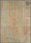
The Matthews-Northrup up-to-d…
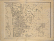
Map of the 23rd and 24th ward…
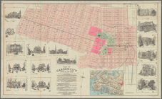
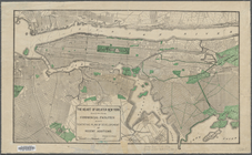
Map of Garden City, Queens Co…
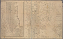
Map of the 23rd and 24th ward…
m
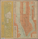
Map of New York City : showin…
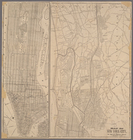
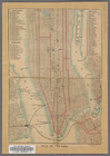
Map of New York City
The heart of greater New York…
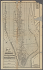
Map of part of New York City:…
Ville de New-York
Rand McNally & Co.'s guide ma…
Map of northern part of New Y…
m
Map showing part of the city …
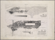
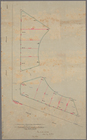
Diagram showing location of u…
m
Staten Island drive and bicyc…
Pocket map of greater New Yor…
m
The Tenement-House Committee …
End of results
|
Top