Click to visit the main New York Public Library Homepage
The New York Public Library
Digital Collections
About Digital Collections
Browse
Search only public domain materials
Items
Collections
Divisions
Home
Search
Browse
About
Search only public domain materials
Items
Collections
Divisions
Digital Collections
Using Images
Using Data
Search
Filtered search
Show filters
Hide filters
Show Only Public Domain
topic
Real property
915
Water supply
312
Public schools
209
Educational facilities
207
Sidewalks
199
More
Less
name
G.W. Bromley & Co
667
New York (N.Y.). Board of Water Supply
310
Ullitz, Hugo
285
New York Public Library
196
Bromley, George Washington
173
More
Less
collection
Photographic views of New York City, 1870's-1970's, from the collections of the New York Public Library
1289
Atlases of New York City
1152
Photographs of the Catskill water supply system in process of construction
310
New York Public Library Visual Materials
190
"The Pageant of America" Collection
138
More
Less
place
x
New York
New York (State)
3776
New York (N.Y.)
1698
Manhattan (New York, N.Y.)
1469
Brooklyn (New York, N.Y.)
345
More
Less
genre
Photographs
2281
Maps
1203
Postcards
94
Prints
60
Floor plans
47
More
Less
publisher
G.W. Bromley & Co
619
E. Belcher Hyde
285
Sanborn Map Co
85
The Board
76
G.W. Bromley
49
More
Less
division
Milstein Division
1499
Map Division
1241
General Research Division
409
NYPL Archives
191
Wallach Division: Photography Collection
153
More
Less
type
still image
2536
cartographic
1227
text
77
Date Range
to
3,784 results found
Filtering on:
x
Date
: 1913 - 1923
x
Place
: New York
Sort by:
Title
Date created
Date digitized
Sequence
m
Occupations - Peddlers - Misc…
Ḥevrah Mishnayot mi-bet ha-k…
m
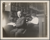
Abraham Freidus and his assis…
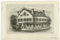
Fraunces' Tavern, N.Y.C., 1777
m
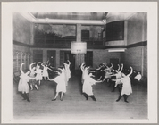
Dance Class at the Y.M.H.A.
m
The Harlem Negro
m
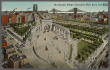
Manhattan Bridge approach, Ne…
m
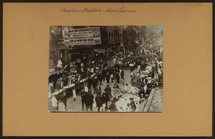
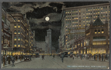
The Great White Way, New York…
m
Hammond's complete map of Bro…
Map of the borough of Brookly…
Hammond's handy reference map…
Hammond's complete map of New…
Map of New York City and vici…
Map of Flatbush Meadows : sit…
Educational extension work of…
Map of the comprehensive plan…
m
Metropolitan district local a…
The Evening Mail's complete m…
Tracts and farms with street …
Opening Hell Gate at a cost o…
Rail terminal facilities in G…
Railroads in Manhattan, Jerse…
Map of the suburban territory…
Carl Schurz Park
Brooklyn, from Rand McNally m…
Park between 35th and 36th St…
Birdseye view of greater New …
Hagstrom's map of lower New Y…
Hammond's handy reference map…
m
Riverside Park
m
Map of Manhattan showing the …
Map showing suggested connect…
Block sketch 1679, New York C…
m
Hammond's complete map of New…
Map of New York City and the …
m
Map of the borough of Brookly…
m
The Rand McNally map of the b…
Brooklyn Liberty Loan Committ…
Bush Terminal, map showing bu…
Map of the borough of Brookly…
m
The five boroughs of the city…
Map of the country thirty mil…
Map of the New York City metr…
Colonial Park
Port of New York Authority : …
Rand McNally Map of Brooklyn
City Hall Park
m
Proposed belt lines for the P…
Map of Brooklyn
Street guide of Brooklyn : wi…
1
2
3
4
5
6
7
8
9
10
…
15
16
Previous
Next
1
2
3
4
5
6
7
8
9
10
…
15
16
Previous
Next