Click to visit the main New York Public Library Homepage
The New York Public Library
Digital Collections
About Digital Collections
Browse
Search only public domain materials
Items
Collections
Divisions
Home
Search
Browse
About
Search only public domain materials
Items
Collections
Divisions
Digital Collections
Using Images
Using Data
Search
Filtered keyword search
Show filters
Hide filters
Show Only Public Domain
topic
History
4
Nautical charts
4
Colonies
3
Railroads
3
Canals
2
More
Less
name
Brion de la Tour, Louis, -1823
3
Burr, David H., 1803-1875
2
Faden, William, 1749-1836
2
Jaillot, Alexis Hubert, 1632?-1712
2
Popple, Henry, d. 1743
2
More
Less
collection
Maps of North America
29
Lawrence H. Slaughter Collection of English maps, charts, globes, books and atlases
10
Maps of New York City and State
9
John H. Levine Collection
6
Cartographic materials from the Emmet collection of manuscripts etc. relating to American history
3
More
Less
place
North America
18
United States
9
America
6
New York (N.Y.)
6
Early works to 1800
5
More
Less
genre
Maps
58
Cadastral maps
2
Nautical charts
2
Road maps
1
publisher
x
s.n
N. Curriers Lith
1
Published ... by W. Heather at the Navigation Warehouse, No. 157 Leadenhall Street,
1
division
x
Map Division
type
cartographic
58
still image
1
Date Range
to
58 results found for:
x
Reliefs
Filtering on:
x
Division
: Map Division
x
Publisher
: s.n.
Sort by:
Relevance
Title
Date created
Date digitized
Sequence
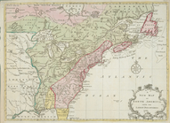
A new and accurate map of the…
note:
Relief
shown pictorially.
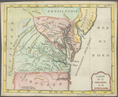
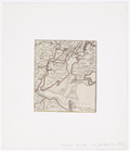
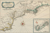
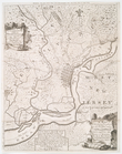
Map of Virginia, Maryland and…
note:
Relief
relief
shown by hachures.
Western states
note:
Relief
shown by hachures.
The United States according t…
note:
Relief
shown pictorially
Carte de la Virginie et du Ma…
note:
Relief
shown pictorially.
Carte contenant le royaume du…
note:
Relief
shown pictorially
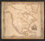
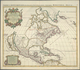
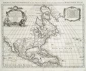
North America
note:
Relief
shown pictorially.
Map of the United States and …
note:
Relief
shown by hachures.
Map illustrating the general …
note:
Relief
shown by hachures.
North America, agreeable to t…
note:
Relief
shown pictorially.
The United States of America,…
note:
Relief
shown pictorially.
Map of the Vermont Central Ra…
note:
Relief
shown by hachures.
A new map of North America fr…
note:
Relief
shown pictorially.
New York and Perthamboy Harbo…
note:
Relief
shown pictorially and depths shown
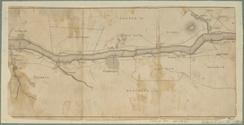
Map of the Hudson River from …
note:
Relief
shown by hachures.
Amerique septentrionale divis…
note:
Relief
shown pictorially.
Amerique septentrionale divis…
note:
Relief
shown pictorially.
An accurate map of North Amer…
note:
Relief
shown pictorially.
West Point
note:
Relief
shown by hachures.
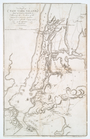
A New and accurate map of the…
note:
Relief
shown pictorially.
The United States of North Am…
note:
Relief
shown pictorially.
United States of America
note:
Relief
shown pictorially.
Virginia, Nieu Neder-landt, N…
note:
Relief
shown pictorially.
The British governments in Nt…
note:
Relief
shown pictorially.
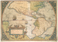
Americae sive novi orbis, nov…
note:
Relief
shown pictorially.
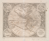
America, siue, India Nova: ad…
note:
Relief
shown pictorially.
An accurate map of the Britis…
note:
Relief
shown pictorially.
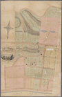
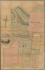
Map of property at New Bright…
note:
Relief
shown by shading and hachures.
Positions of the upper and lo…
note:
Relief
shown by hachures.
A survey of the Northern Neck…
note:
Relief
shown pictorially.
m
New travelling and commercial…
note:
Relief
shown by hachures.
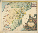
A map of the British Empire i…
note:
Relief
shown pictorially.
Virginia, Marylandia et Carol…
note:
Relief
shown pictorially. Depths shown
An accurate map of the Englis…
note:
Relief
shown pictorially.
A map of the British and Fren…
note:
Relief
shown pictorially.
Map of property at New Bright…
note:
Relief
shown by shading and hachures.
Chart of Lake Ontario
note:
Depths shown by soundings.
Relief
shown
Map of first district, Campbe…
note:
Relief
shown by hachures
m
Map of the progress of His Ma…
note:
Relief
shown pictorially.
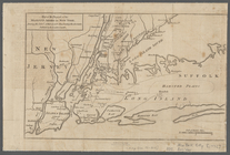
A plan of New York Island, pa…
note:
Relief
shown by hachures.
A map of that part of Pensylv…
note:
Relief
shown pictorially.
m
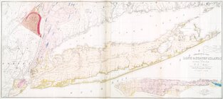
Geological map of Long & Stat…
Plan of the town of Baltimore…
note:
Relief
shown by hachures.
Chart of the Columbia River f…
abstract:
Relief
shown by hachures. Depths shown
Chart of the mouth of Susqueh…
note:
Relief
shown by hachures. Depths shown
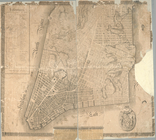
Plan of the city of New-York
note:
Relief
shown hachures.
A map of the British Empire i…
note:
Relief
shown pictorially.
A chart of the bar of Sandy H…
note:
Relief
shown by hachures. Depths shown
Map of New Jersey and Pennsyl…
note:
Relief
shown by hachures.
Accurata delineatio celeberri…
note:
Relief
shown pictorially.