Click to visit the main New York Public Library Homepage
The New York Public Library
Digital Collections
About Digital Collections
Browse
Search only public domain materials
Items
Collections
Divisions
Home
Search
Browse
About
Search only public domain materials
Items
Collections
Divisions
Digital Collections
Using Images
Using Data
Search
Filtered keyword search
Show filters
Hide filters
Show Only Public Domain
topic
Real property
18
Local transit
6
Administrative and political divisions
4
Maps
4
Parks
4
More
Less
name
G.W. Bromley & Co
11
Burr, David H., 1803-1875
5
E. Robinson Co
5
Pidgeon, R. H. (Roger H.)
5
Rawdon, Clark & Co
5
More
Less
collection
Maps of New York City and State
26
Atlases of New York City
18
Atlases of the United States
5
place
x
New York (N.Y.)
New York (State)
33
Manhattan (New York, N.Y.)
21
New York
18
Bronx (New York, N.Y.)
7
More
Less
genre
Maps
49
Atlases
5
Manuscript maps
2
Cadastral maps
1
Early works to 1800
1
publisher
G.W. Bromley & Co
10
E. Robinson Co
5
publisher not identified
3
J.N. Matthews Co
2
Sanborn Map Company
2
More
Less
division
x
Map Division
type
cartographic
49
text
1
Date Range
to
49 results found for:
x
39
Filtering on:
x
Division
: Map Division
x
Place
: New York (N.Y.)
Sort by:
Relevance
Title
Date created
Date digitized
Sequence
Plate
39
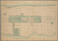
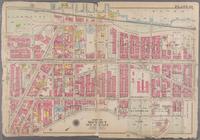
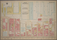
Map of New York City from 50t…
Bronx, V. A, Plate No.
39
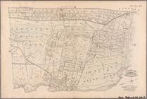
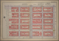
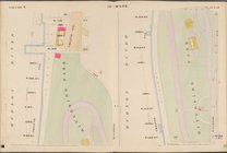
[Map bounded
Bronx, V. B, Plate No.
39
[Map bounded
Double Page Plate No.
39
, Part
Double Page Plate No.
39
, Part
Double Page Plate No.
39
, Part
Double Page Plate No.
39
, Part
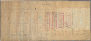
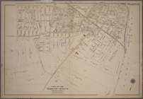
Plan showing course of stream…
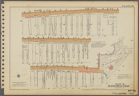
Diagram showing location of u…
parent:
040be8c0-f
39
c-0130-0f3f-58d385a7b928
Plate
39
[Map bounded by Hudson River, W
Plate
39
[Map bounded by Lafayette Ave
Survey of the Battery
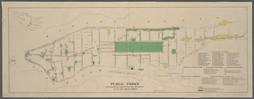
Public parks boroughs of Manh…
parent:
048b7d20-f
39
c-0130-2891-58d385a7b928
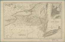
Map of the state of New York …
Plate
39
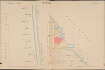
: Bounded by Twelfth Avenue (Hudson
Plate
39
: Vanderbilt Avenue, Pelham
Plate
39
, Part of Section 4: [Bounded
Plate
39
, Part of Section 6: [Bounded by E
Rail terminal facilities in G…
m
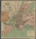
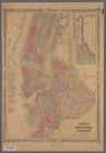
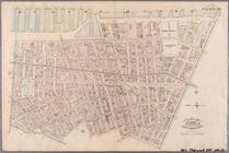
Map of New York City ("greate…
parent:
0423b840-f
39
c-0130-6f8e-58d385a7b928
Map of the city of New-York
Plate
39
: Bounded by Chichester Ave., Claremont
m
Center of New York, first cit…
parent:
04cd20b0-f
39
c-0130-40f9-58d385a7b928
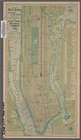
Map of New-York City
Map of New-York City
Hagstrom's map of ... New Yor…
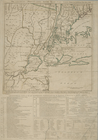
Map of the country thirty mil…
m
Proposed extension of Convent…
Map of the county of Onondaga
Map of the county of Onondaga
Map of the county of Cayuga
Johnson's New York and Brookl…
The Country twenty five miles…
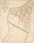
Map of the city of New-York
Williams' map of boroughs of …
m
Hagstrom's map of upper New Y…
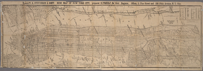
Messrs. V.K. Stevenson & Son'…
A Map of the city of New York…
Center of New York, first cit…
Map of Brooklyn at the time o…
Hooker's new pocket plan of t…
m
Driving road chart of the cou…
Map of the city and county of…
Map of the city and county of…
Map bounded by W. 130th St., …
Map bounded by W. 114th St., …
… River, Piers 21-
39
), W
… River, Piers
39
-47), W
End of results
|
Top