Click to visit the main New York Public Library Homepage
The New York Public Library
Digital Collections
About Digital Collections
Browse
Search only public domain materials
Items
Collections
Divisions
Home
Search
Browse
About
Search only public domain materials
Items
Collections
Divisions
Digital Collections
Using Images
Using Data
Search
Filtered search
Show filters
Hide filters
Show Only Public Domain
topic
Real property
388
Fire insurance
147
Cities & towns
128
Maps
20
Administrative and political divisions
18
More
Less
name
Sanborn Map Company
134
G.W. Bromley & Co
94
Everts, Ensign & Everts
64
Bromley, George Washington
36
Bromley, Walter Scott
36
More
Less
collection
Atlases of New York City
345
Atlases of the United States
152
Maps of New York City and State
62
Maps of North America
50
Lawrence H. Slaughter Collection of English maps, charts, globes, books and atlases
17
More
Less
place
New York (State)
420
New York
163
Manhattan (New York, N.Y.)
83
Brooklyn (New York, N.Y.)
71
Bronx (New York, N.Y.)
51
More
Less
genre
Maps
624
Atlases
152
Cadastral maps
24
Prints
10
Manuscript maps
6
More
Less
publisher
Sanborn Map Company
129
G.W. Bromley & Co
80
E. Robinson Co
27
F. W. Beers & Co
25
Everts, Ensign & Everts
19
More
Less
division
x
Map Division
type
x
cartographic
text
8
still image
3
Date Range
to
636 results found
Filtering on:
x
Division
: Map Division
x
Title
: Corner house ; sign at door: "Mr. J. Easy's School for Young Ladies and Gentlemen." Over door, to left : "Wrong Place." People coming out of door, and doorstep : 3 boys at fence. To left: couple hailing stage passing church
x
Type
: cartographic
Sort by:
Title
Date created
Date digitized
Sequence
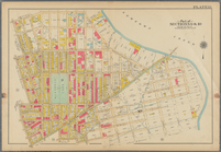
Map of the country thirty mil…
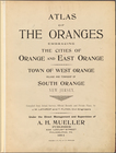
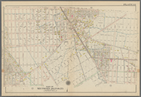
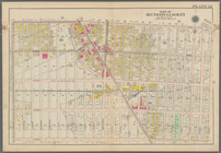
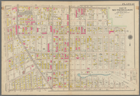
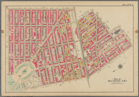
Atlas of the Oranges embracin…
Harrison's map of Jersey City…
m
Map of property at Fairmount…
Map of the western states to …
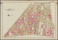
Bounded by Avenue D., Ralph A…
Bounded by Avenue J., E. 56th…
Coney Island. Bounded by Cana…
Bounded by (Vanderveer Park) …
Bounded by Regent Place, Tild…
Bounded by Winthrop Street, (…
Bounded by Terrace Place, 11t…
Bounded by 85th Street, 1st A…
Bounded by Park Place, East N…
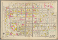
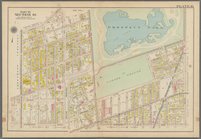
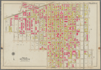
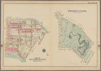
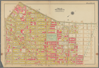
Prospect Park Bounded by (Ins…
Bounded by Conway Street, Nor…
Bounded by Flushing Avenue, P…
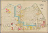
Bounded by Newton Creek (Sene…
Bounded by Bayard Street, Gra…
Bounded by Calyer Street, Fro…
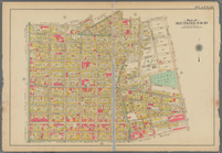
Bounded by Fifth Avenue, Atla…
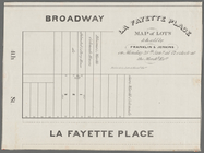
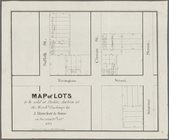
La Fayette Place map of lots …
m
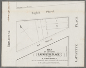
Map of lots on Lafayette Plac…
Map of lots to be sold at pub…
Map of New Orleans and Jeffer…
General map to accompany the …
J.L. Hill Printing Co.'s map …
m
Map of the vicinity of Philad…
Map of Mount Vernon Place, Ba…
J.H. Colton's topographical m…
m
Highwood Park, East of Glenwo…
m
Auction sale at Montrose Stat…
m
Map of the city of Newark, N.…
m
Guide map of the city of Eliz…
m
Map of Jersey City and Hoboke…
Map of property of the Ruther…
Map of property of the Dundee…
Map of part of Bergen, Passai…
Map of Jersey City and enviro…
Road map of 'he sea coast of …
Map of the southern states to…
Map of the vicinity of Hibern…
The route of the army under t…
Map of building lots, on the …
Map of Virginia and West Va.,…
Map of property on the highla…
Map of Black Point property n…
Map showing lines filed by Ne…
The early purchasers of Hills…
Sketch J showing the progress…
1
2
3
Previous
Next
1
2
3
Previous
Next