Click to visit the main New York Public Library Homepage
The New York Public Library
Digital Collections
About Digital Collections
Browse
Search only public domain materials
Items
Collections
Divisions
Home
Search
Browse
About
Search only public domain materials
Items
Collections
Divisions
Digital Collections
Using Images
Using Data
Search
Filtered search
Show filters
Hide filters
Show Only Public Domain
topic
x
Nautical charts
Harbors
9
Fortification
1
Lighthouses
1
Long Island, Battle of, New York, N.Y., 1776
1
name
United States Coast Survey
6
Hassler, F. R. (Ferdinand Rudolph), 1770-1843
5
Ferguson, James, 1710-1776
4
Gedney, Thomas R
4
Renard, C
4
More
Less
collection
Maps of New York City and State
15
place
New York Harbor (N.Y. and N.J.)
11
New Jersey
7
New York (N.Y.)
7
New York Metropolitan Area
6
New York Region
4
More
Less
genre
Maps
15
Early works to 1800
1
Nautical charts
1
publisher
Survey of the Coast of the United States
3
Publish'd by J.F.W. Des Barres Esqr
2
Chez le Rouge, rue des Grands Augustins,
1
Coast Survey
1
E. & G.W. Blunt,
1
More
Less
division
x
Map Division
type
cartographic
15
Date Range
to
15 results found
Filtering on:
x
Division
: Map Division
x
Parent
: New York City||6cea9e80-c5aa-012f-63d6-58d385a7bc34
x
Topic
: Nautical charts
Sort by:
Title
Date created
Date digitized
Sequence
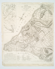
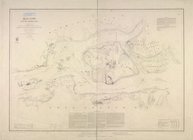
Map of New-York Bay and Harbo…
Plan de New-York et des envir…
Map of New-York Bay and Harbo…
A chart of the bar of Sandy H…
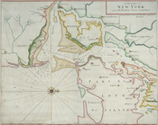
A chart of New York Harbour :…
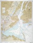
New York Harbor and entrance …
m
Map of New-York Bay and Harbo…
A draught of New York from th…
Chart and plan of the harbour…
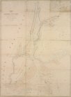
Chart of the entrance of Huds…
Hell Gate and its approaches
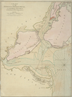
Map of the Harbor of New York…
A chart of New York Harbour :…
m
United States--east coast, Ne…
m
Map of New-York Bay and Harbo…
End of results
|
Top