Click to visit the main New York Public Library Homepage
The New York Public Library
Digital Collections
About Digital Collections
Browse
Search only public domain materials
Items
Collections
Divisions
Home
Search
Browse
About
Search only public domain materials
Items
Collections
Divisions
Digital Collections
Using Images
Using Data
Search
Filtered keyword search
Show filters
Hide filters
Show Only Public Domain
topic
Administrative and political divisions
1
Colonies
1
Fortification
1
History
1
Nautical charts
1
name
Cóvens et Mortier
3
Le Maire, François, 1675-1748
2
United States Military Academy
2
Brown, T. B
1
Condet, Johannes, 1711-1781
1
More
Less
collection
Lawrence H. Slaughter Collection of English maps, charts, globes, books and atlases
6
Maps of New York City and State
2
Maps of North America
2
place
Mississippi River Valley
3
United States
3
America
2
Louisiana
2
North America
2
More
Less
genre
Maps
10
Early works to 1800
1
Facsimiles
1
publisher
Chez Jean Cóvens et Corneille Mortier, geographes
2
J. Senex
2
Chez Dezauche, successeur des Sieurs De l'Isle et Buache
1
Chez J. Cóvens et C. Mortier
1
J.W. Norie & Co
1
More
Less
division
x
Map Division
type
cartographic
10
text
1
Date Range
to
10 results found for:
x
National Academies (U.S.)
Filtering on:
x
Division
: Map Division
Sort by:
Relevance
Title
Date created
Date digitized
Sequence
Map of Rhode Island and Provi…
use:
Can be
used
on NYPL website
West Point
use:
Can be
used
on NYPL website
A chart of the coast of Ameri…
use:
Can be
used
on NYPL website
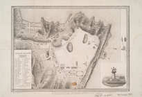
Plan of West Point
use:
Can be
used
on NYPL website
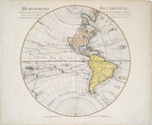
…'
Academie
Rle. des Sciences
use:
Can be
used
on NYPL website
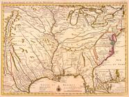
Carte de la Louisiane et du c…
use:
Can be
used
on NYPL website
Carte de la Louisiane et du c…
use:
Can be
used
on NYPL website
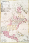
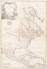
North America : : corrected f…
use:
Can be
used
on NYPL website
m
North America : : corrected f…
use:
Can be
used
on NYPL website
Carte de la Louisiane et du c…
use:
Can be
used
on NYPL website